
#2 of the Alps Seven Summits: The Plan
After just completing Triglav two weeks earlier, I was excited for this one! As can be expected with all of these “Seven Summits of the Alps” (and the Alps in general)…weather forecasts were volatile. The original plan for the route would be to hike up to Reintalangerhütte or Knorrhütte. They were full, but cancellations can happen 1 week before, so I jumped on Knorrhütte when that happened. The idea was to summit the next morning and hike back down or take the cable car. The forecast in the days before looked much more promising than Triglav’s had…but still not enough of a stable weather window to do the classic out-and-back from Garmisch-Partenkirchen. I had to abandon that plan.
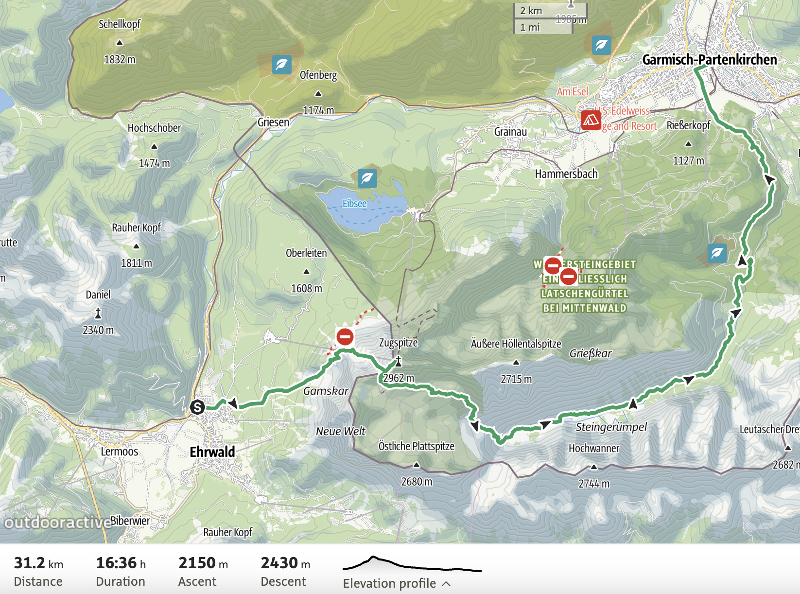
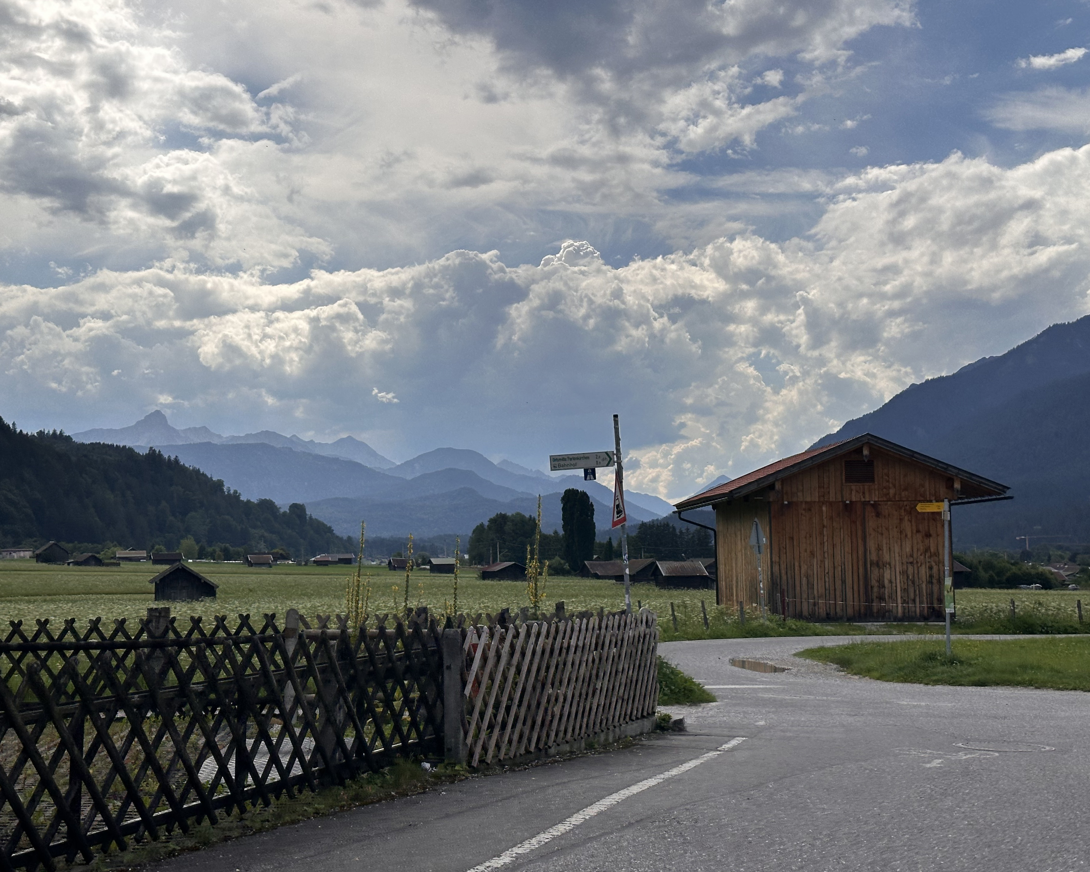
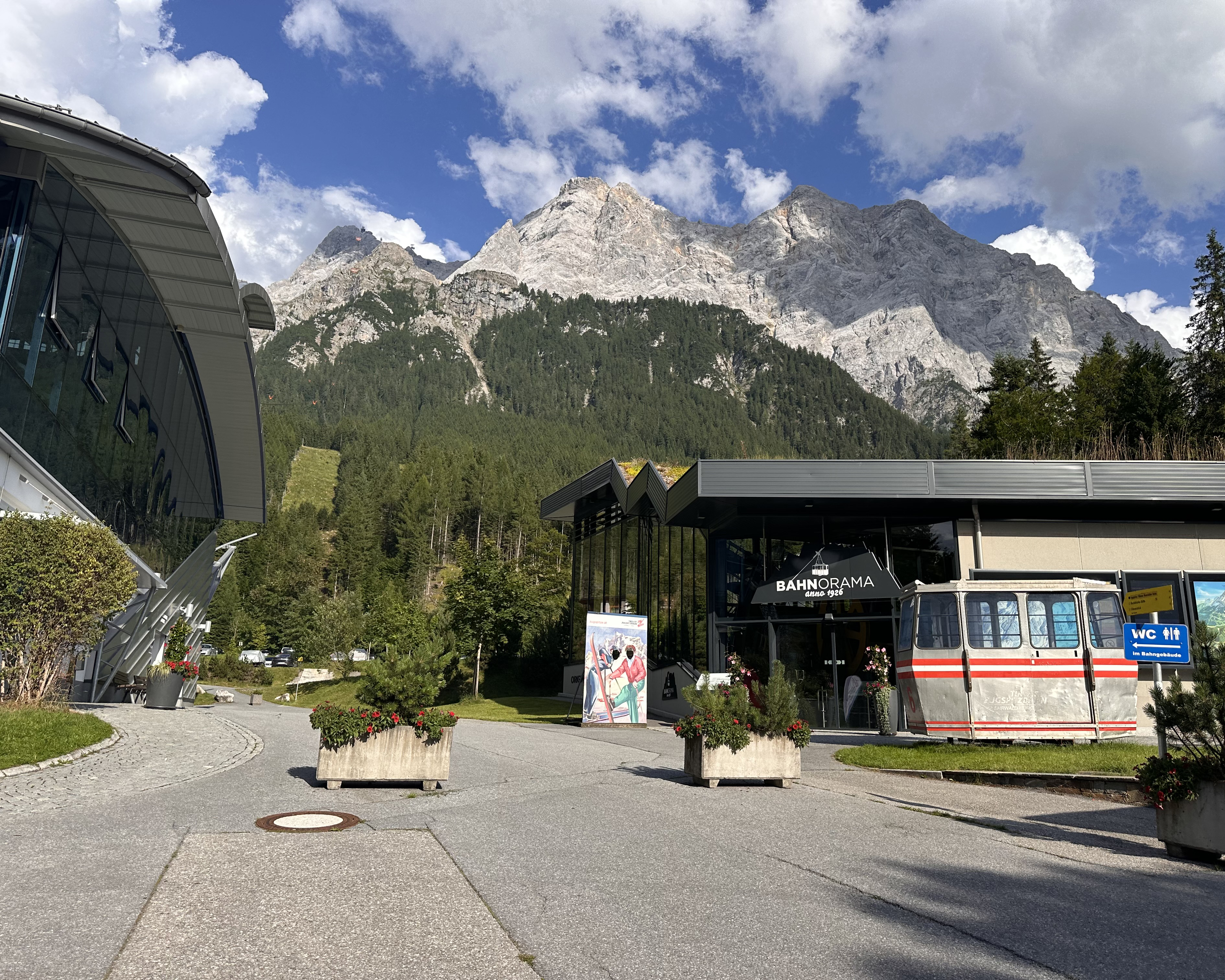
In researching the routes to Zugspitze, 3 main options emerged: going from Obermoos (Ehrwald) in Austria with a via ferrata section after a hut (like Triglav!), out-and-back from Garmisch-Partenkirchen (the longest, but least technical, option), or the Höllental Route that involves a more technical via ferrata and even a glacier crossing. The Austrian route starting from the parking lot for the Tiroler Zugspitzbahn (Austrian side cable car) is shortest, so it would be the safest option for a quick ascent, with a convenient hut just before the via ferrata, in case the weather turned south. This would still work with the Knorrhütte reservation, with the summit followed by a shorter descent to that hut, then ending the point-to-point route in Garmisch-Partenkirchen the next day. From there, there is public transportation back to the (Austrian) cable car parking lot. Worst case, there’s the option of taking the summit cable car back down to Austria, or skipping the summit and continuing over the pass right to Knorrhütte (and then reattempting the summit the next day, with a cable car back down).
The Hike
The final route is below:
It was a beautiful Saturday morning, without a cloud in the sky. The initial part of the trail is a bit of a steep slog through grass…
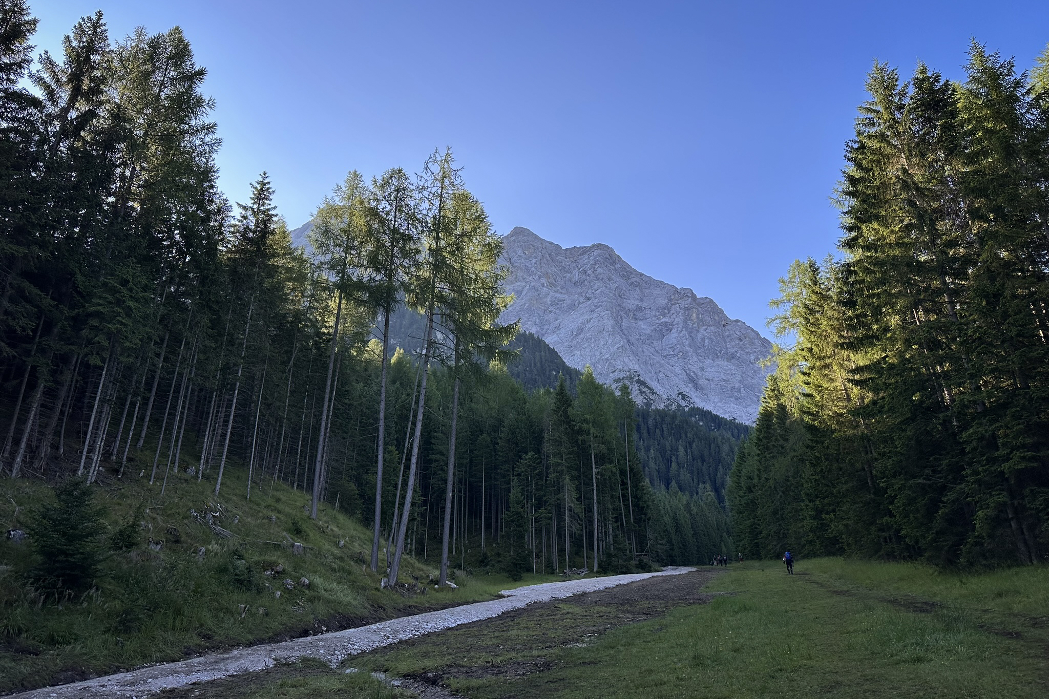
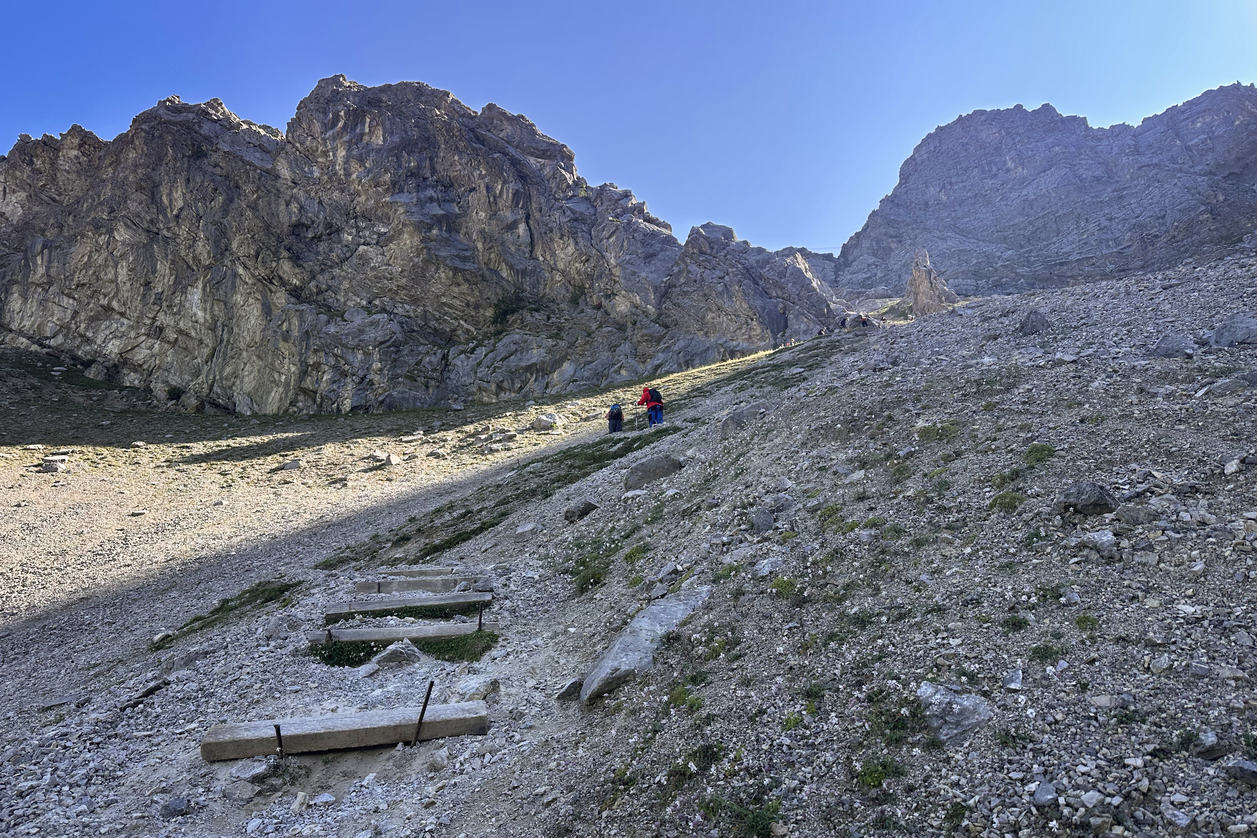
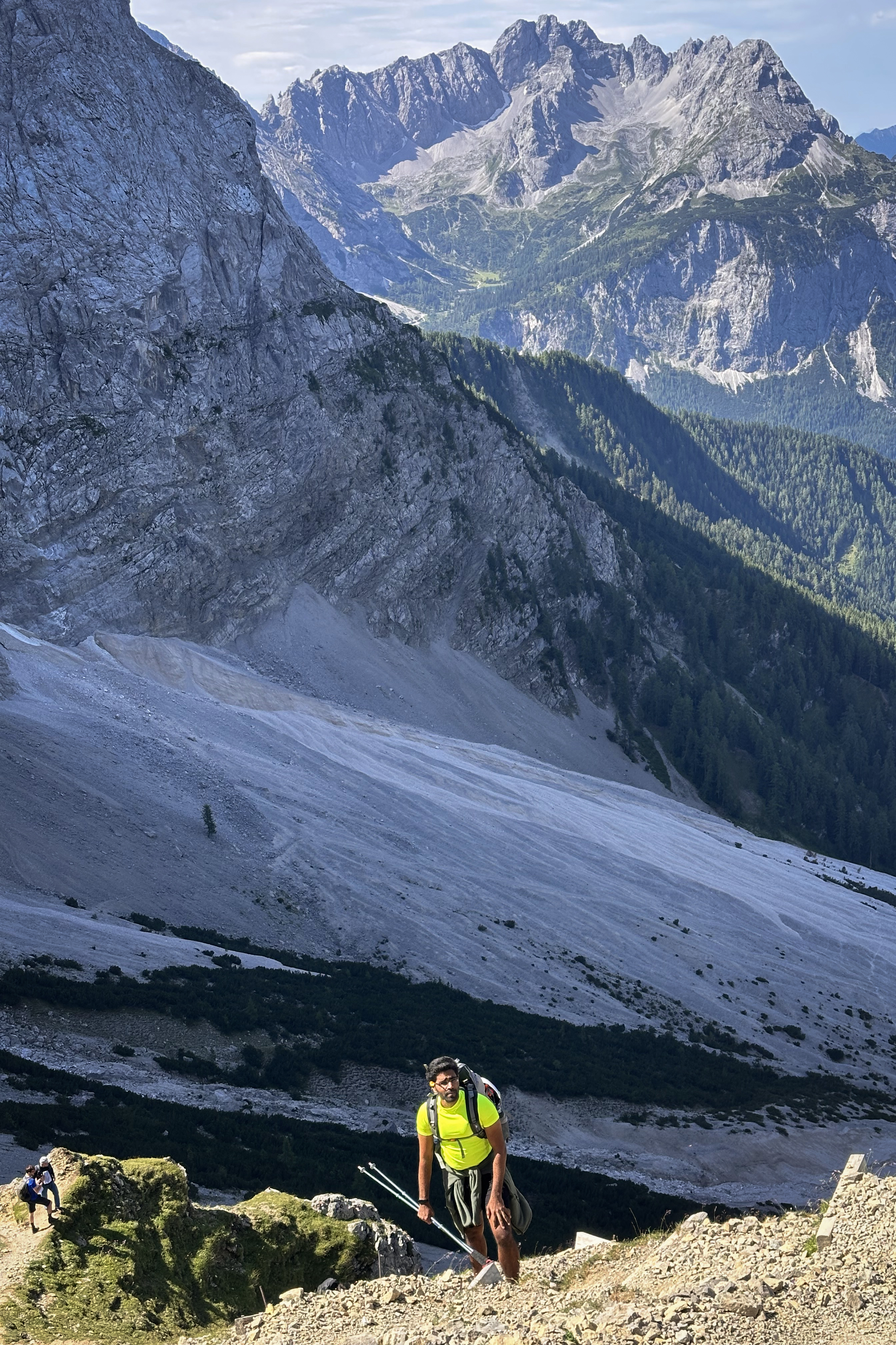
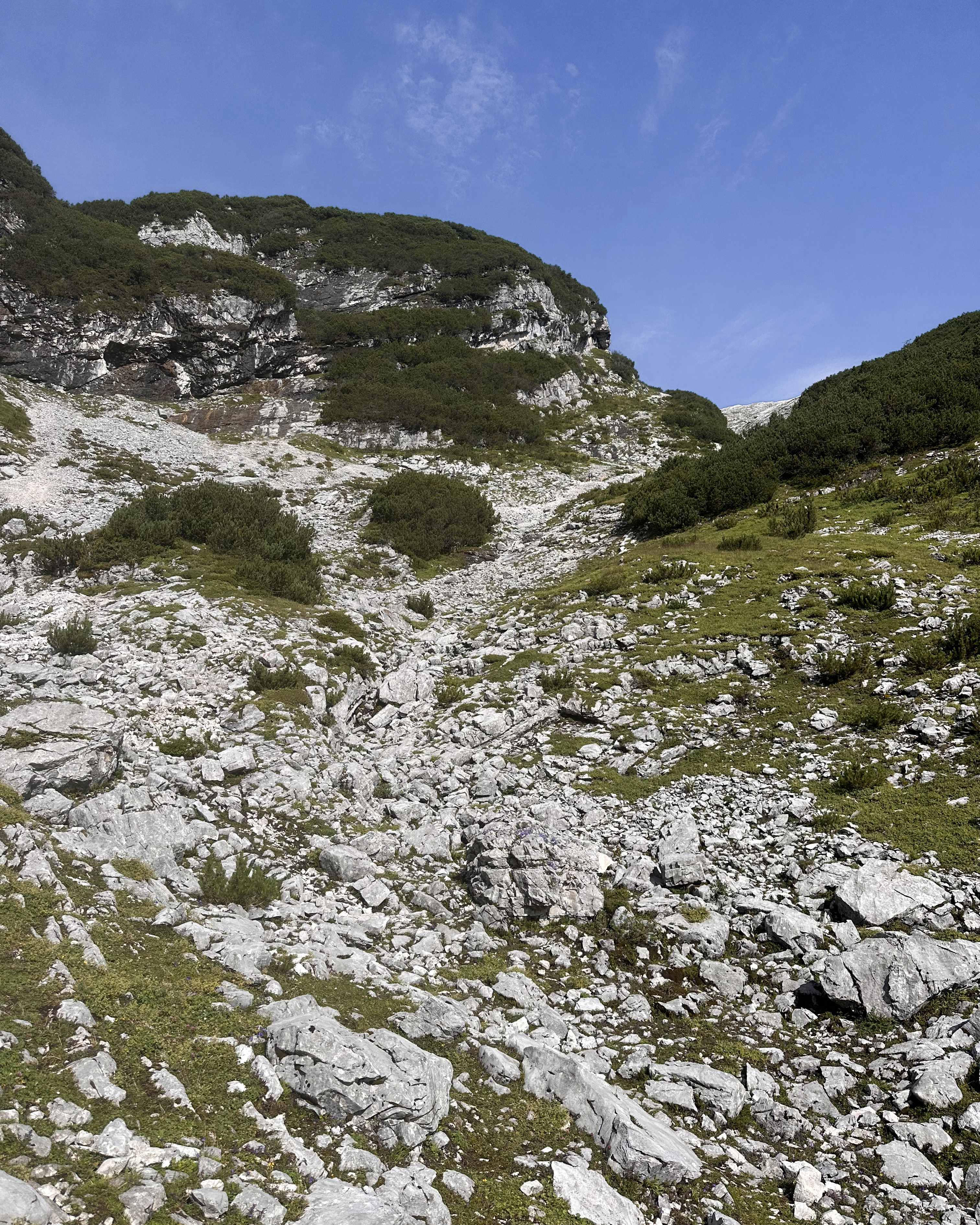
…which quickly becomes loose scree. It still wasn’t as bad as some trip reports made it out to be (it didn’t feel like the ‘2 steps forward, 1 step back’ kind of terrain). As it got steeper, there were some wooden planks for a bit more traction.
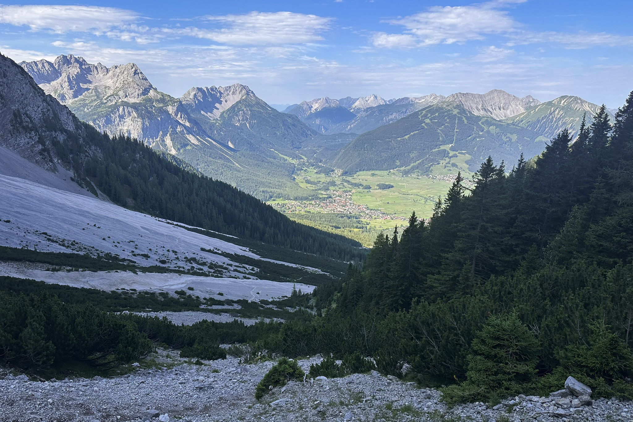
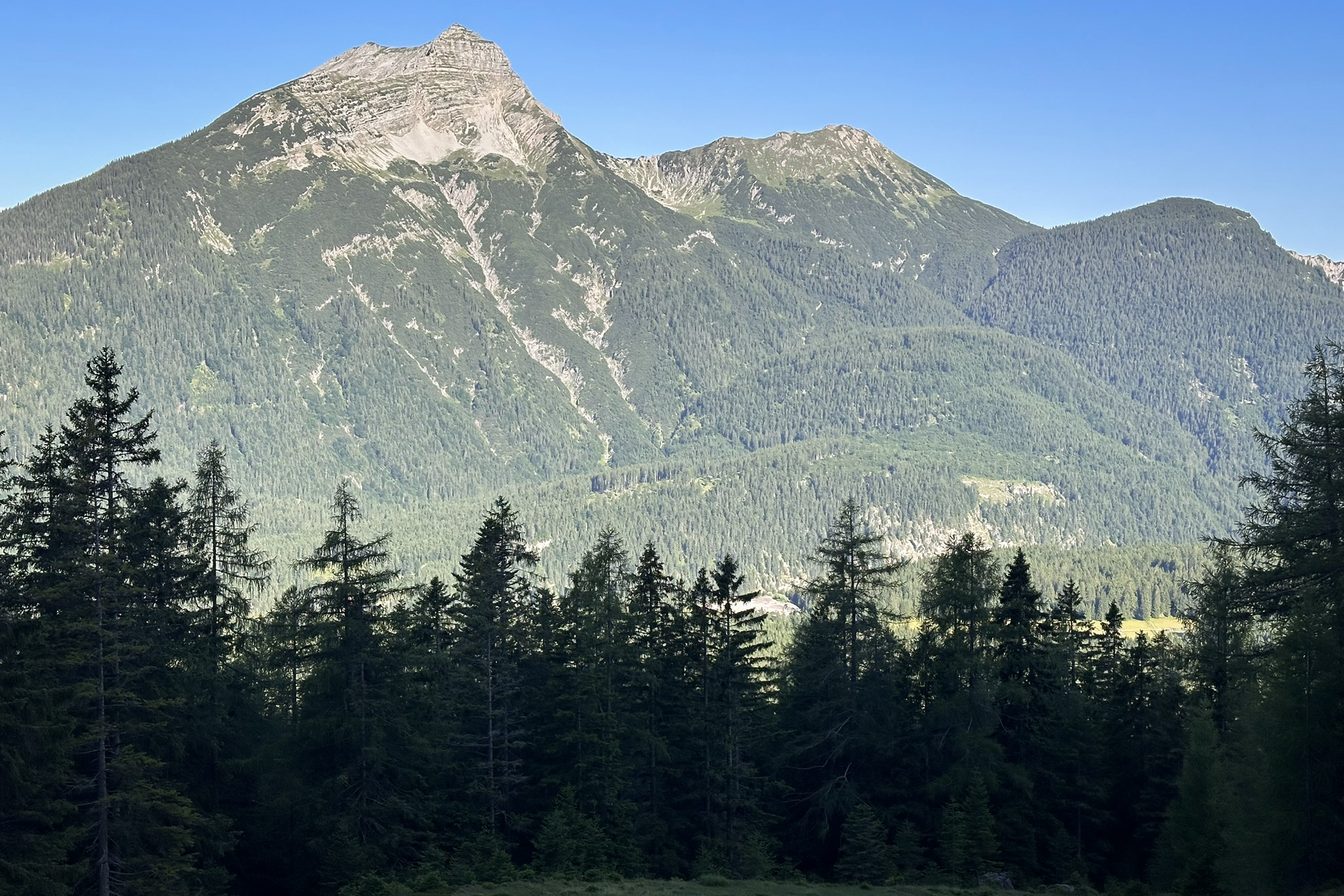
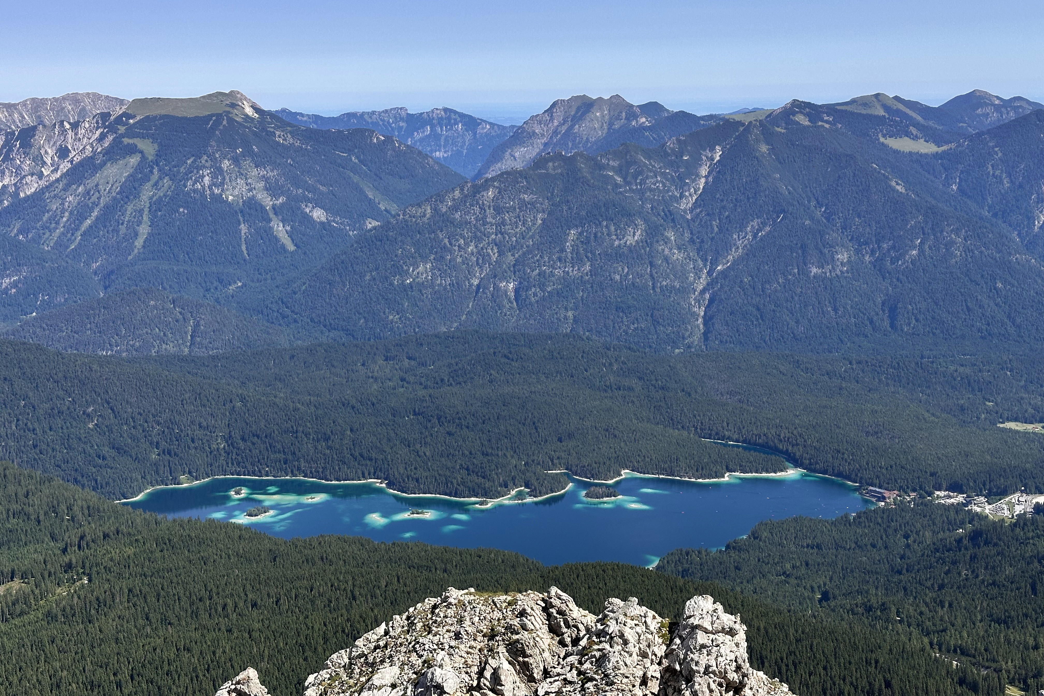
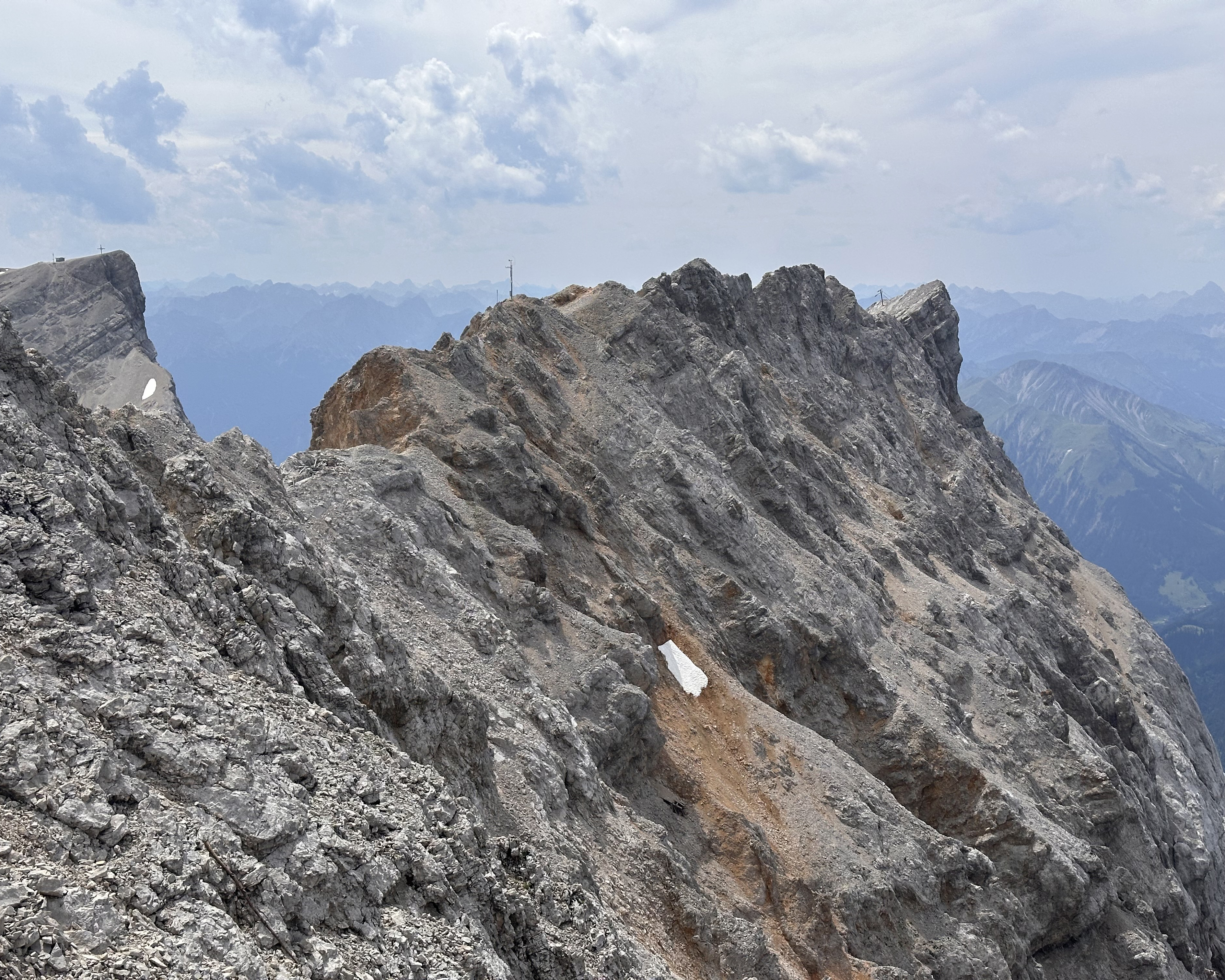
By the time these switchbacks are over, the views really open up.
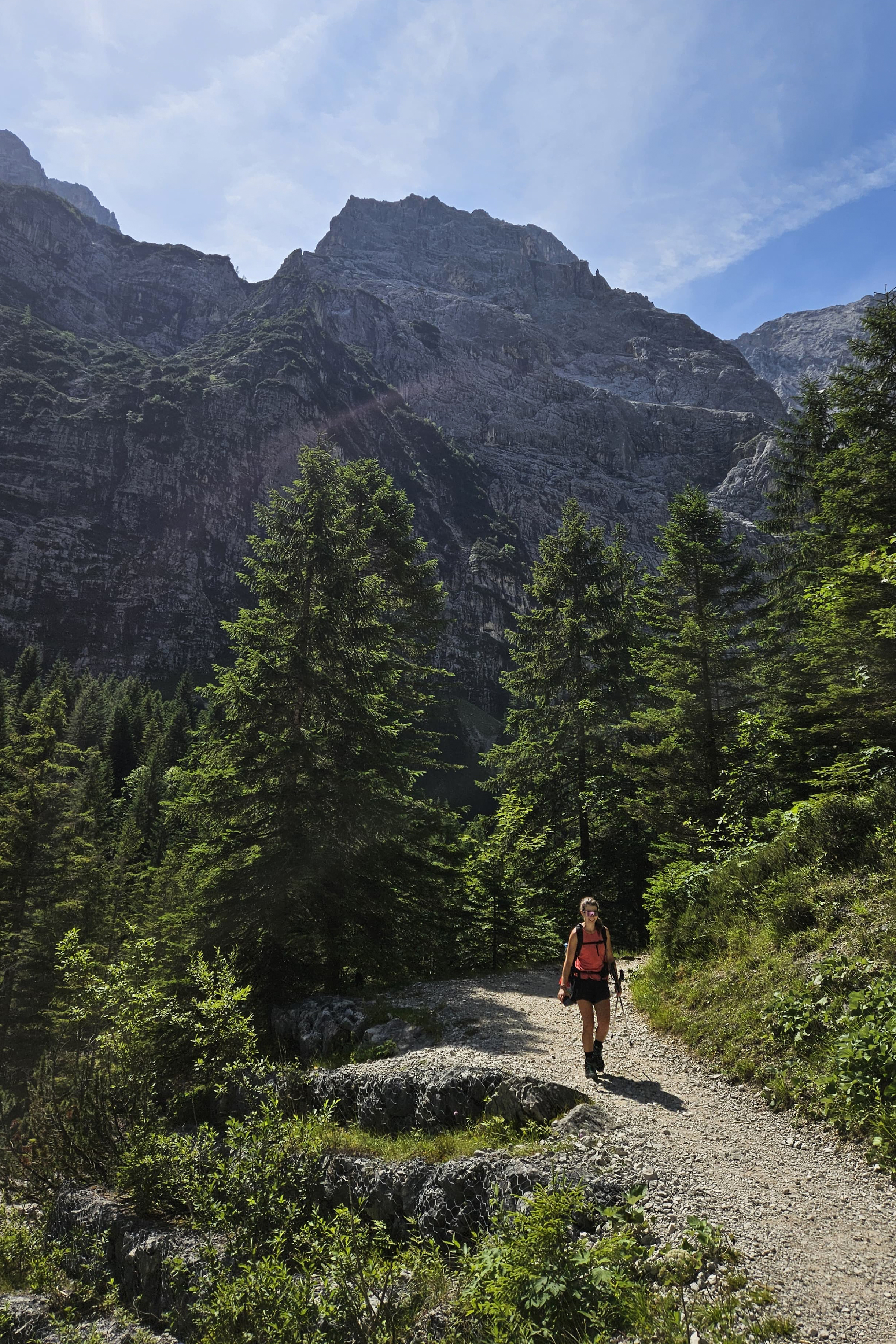
For this hike, I was joined by Viven, who had recently moved from London to Cologne (see Wales blog post)! Soon, the scree slopes turn into a nice path for a short stretch, before becoming a bit of a scramble.
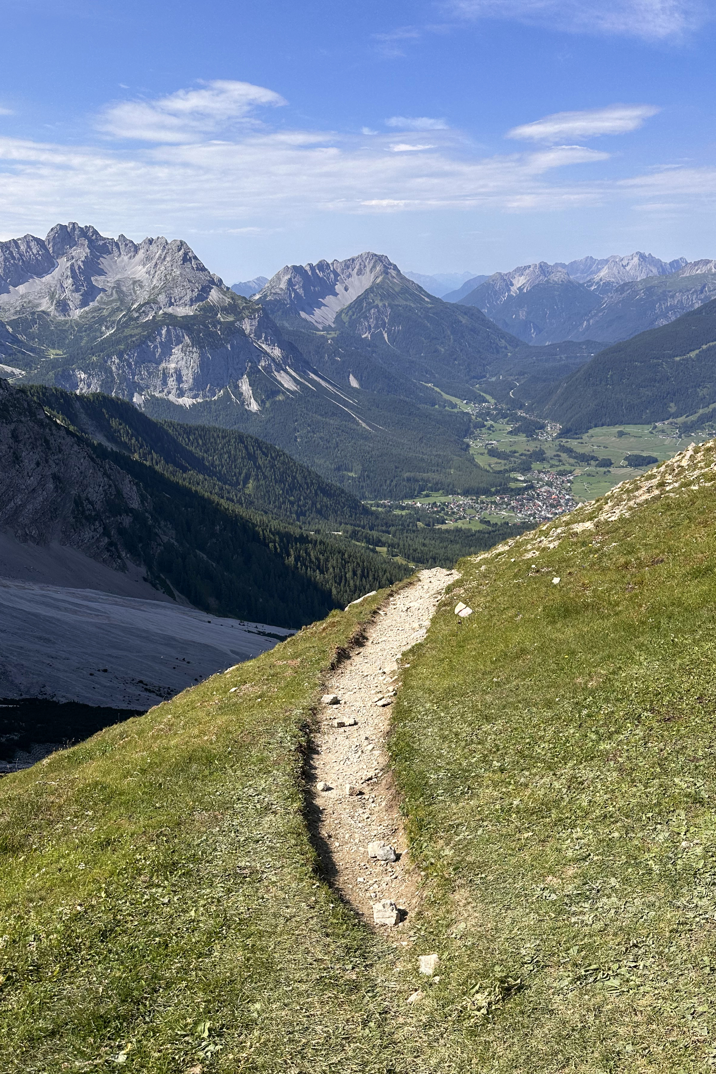
At this point, it feels like the hut must be right around the corner…and it sort if is, but there are still 20-30 minutes to go.
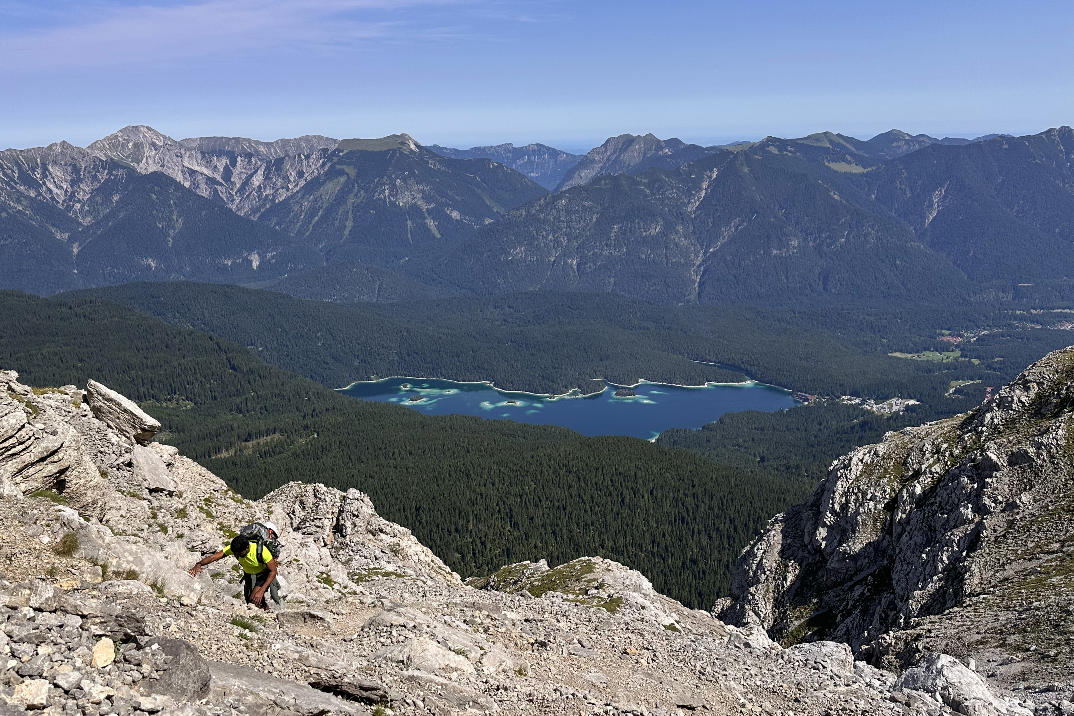
A short section with cables wraps around along the Eibsee side of the route, with great views of this electric blue lake. (:
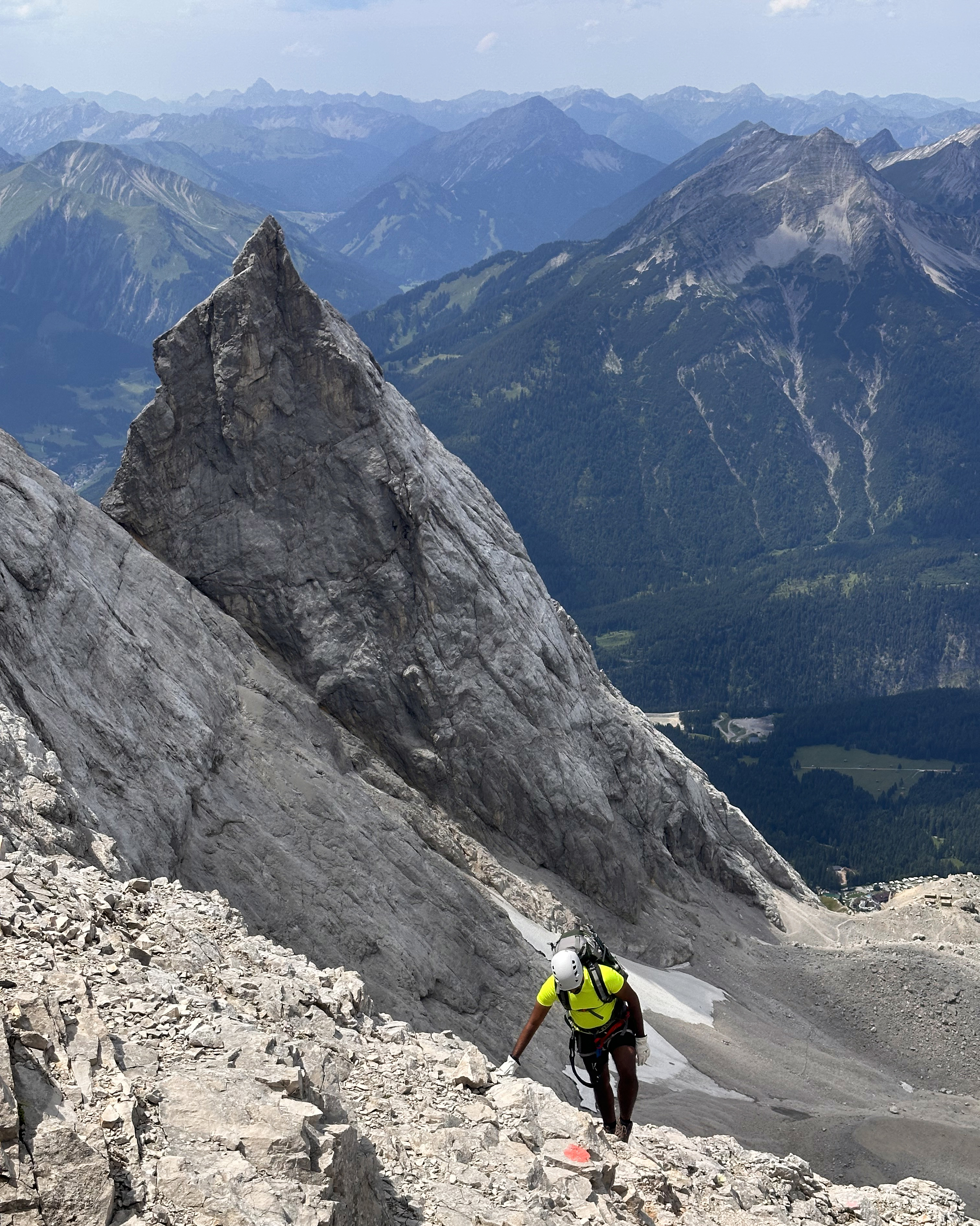
At around 11am, we arrived at the Wiener-Neustädter Hut. It was such a relief to see, and the weather was still wonderful. We sat, fueled up, and geared up for the next phase: the via ferrata.
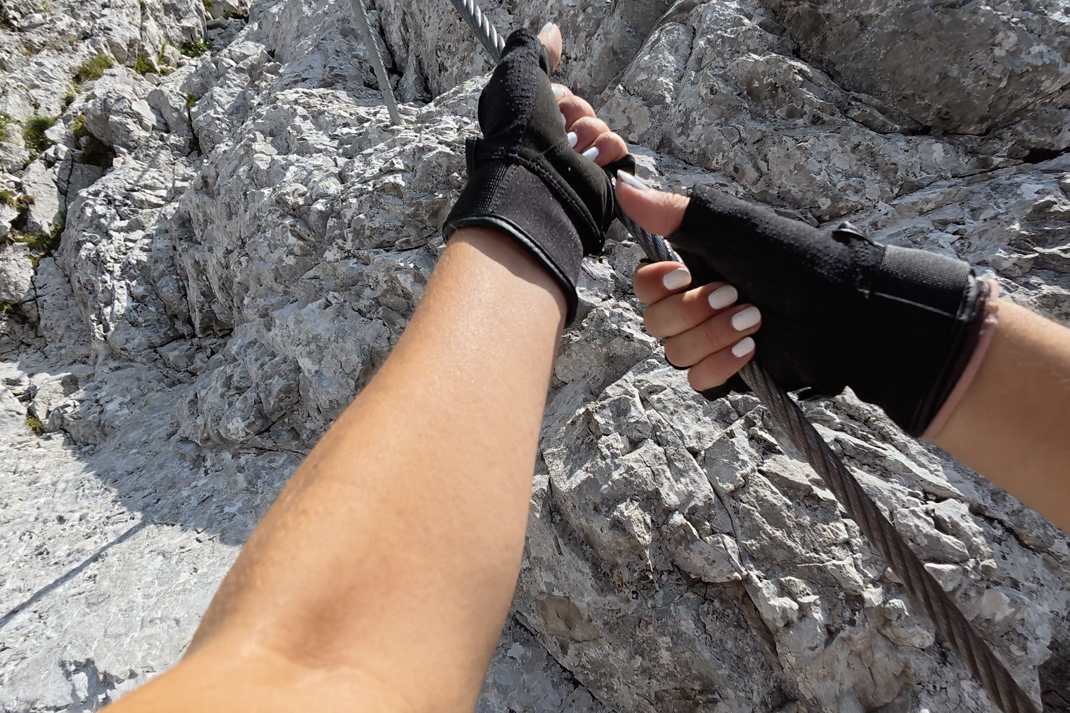
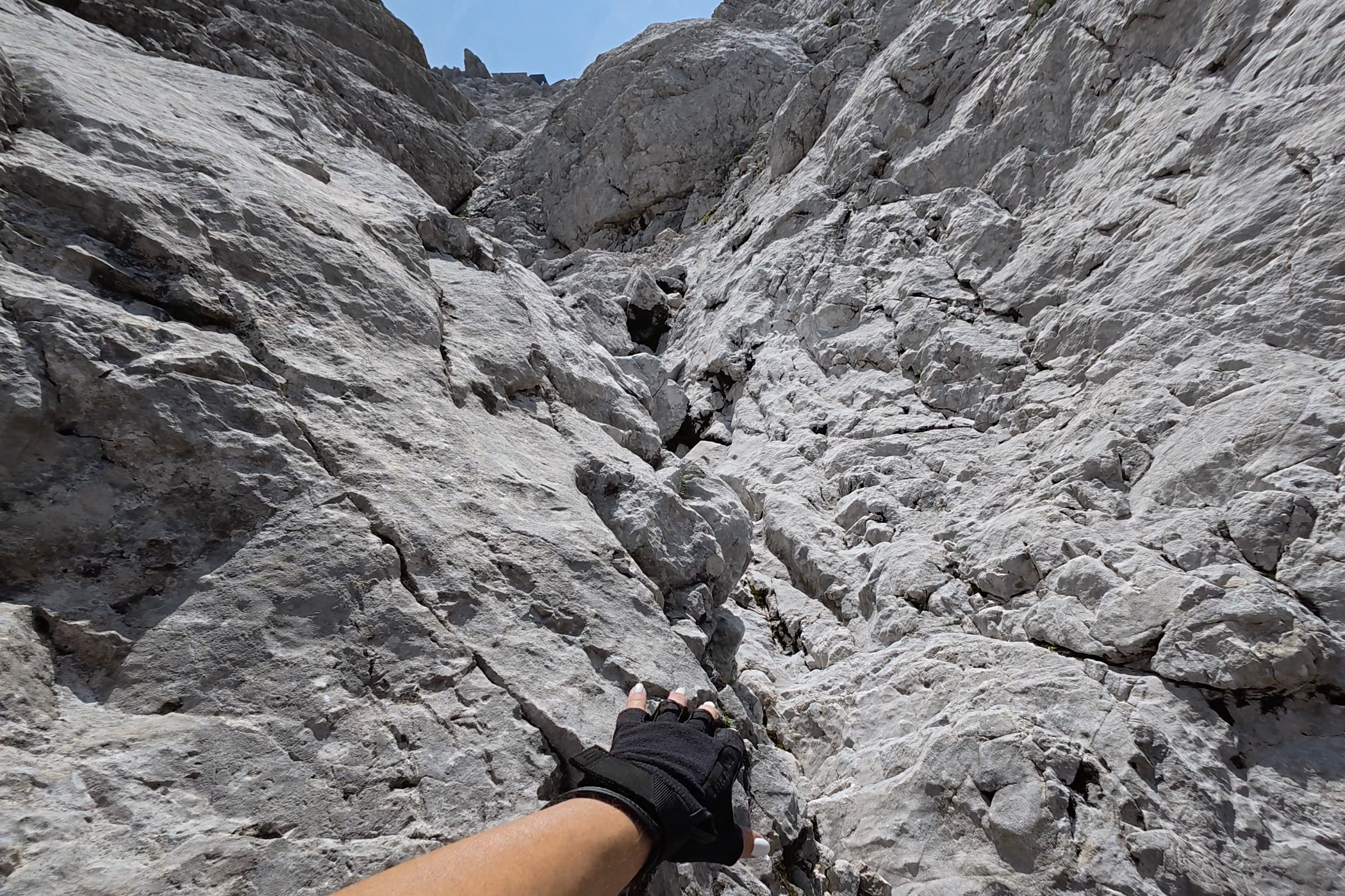
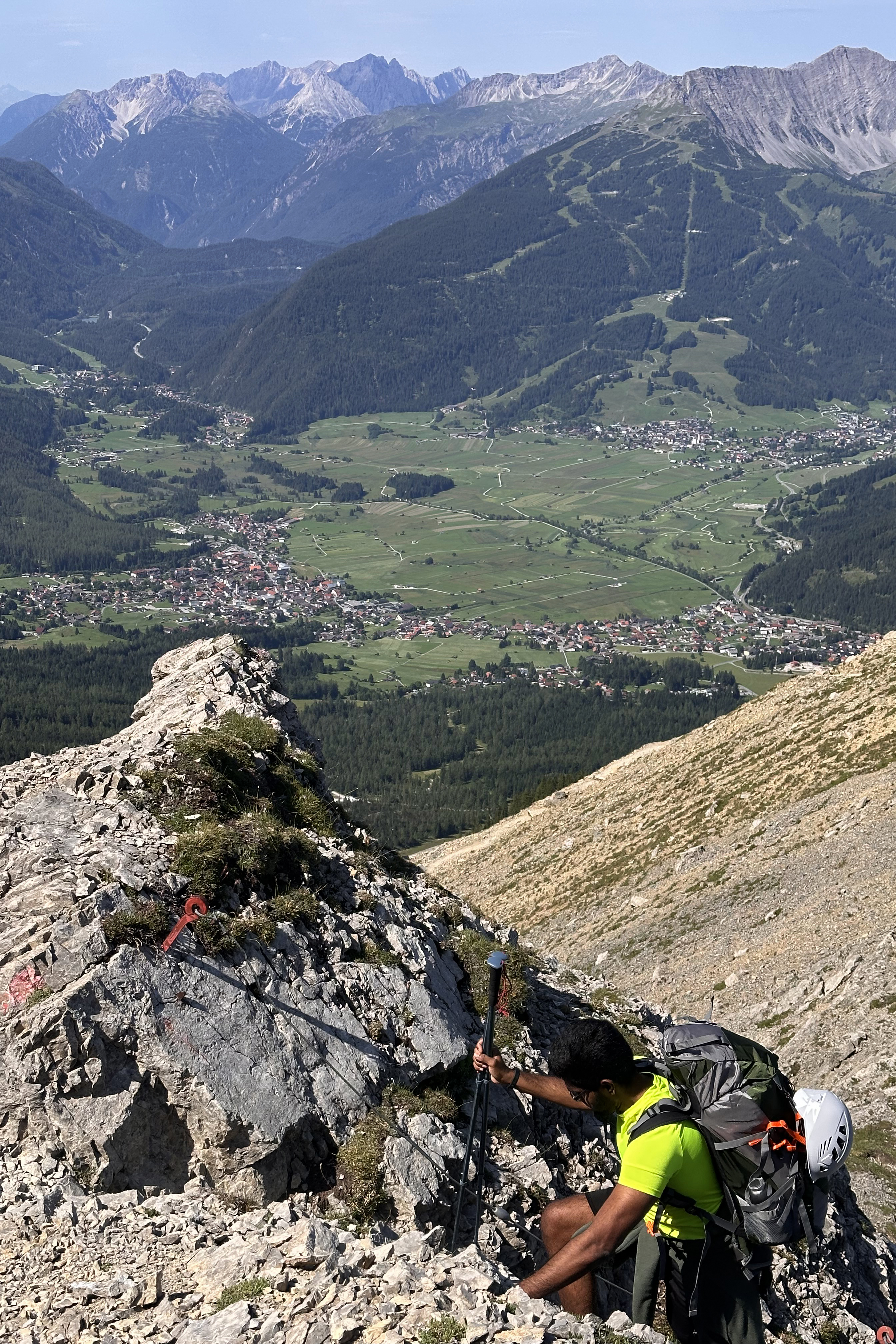
This is a pretty tiring one, since it’s sustained, but nothing was technical. I did not clip in anywhere, and several runners on the route didn’t even have ferrata sets on. I’d still recommend one, but especially if you’ve gone up Triglav, this isn’t too bad. A helmet is a good idea regardless, as the route can get pretty busy on a nice summer weekend! I didn’t see any falling rock, though, just a falling water bottle. Check out the Instagram highlights to find out what that’s about.
It’s definitely a nicer experience going up this route than down, but the best views are behind you. Don’t forget to keep looking back! (:
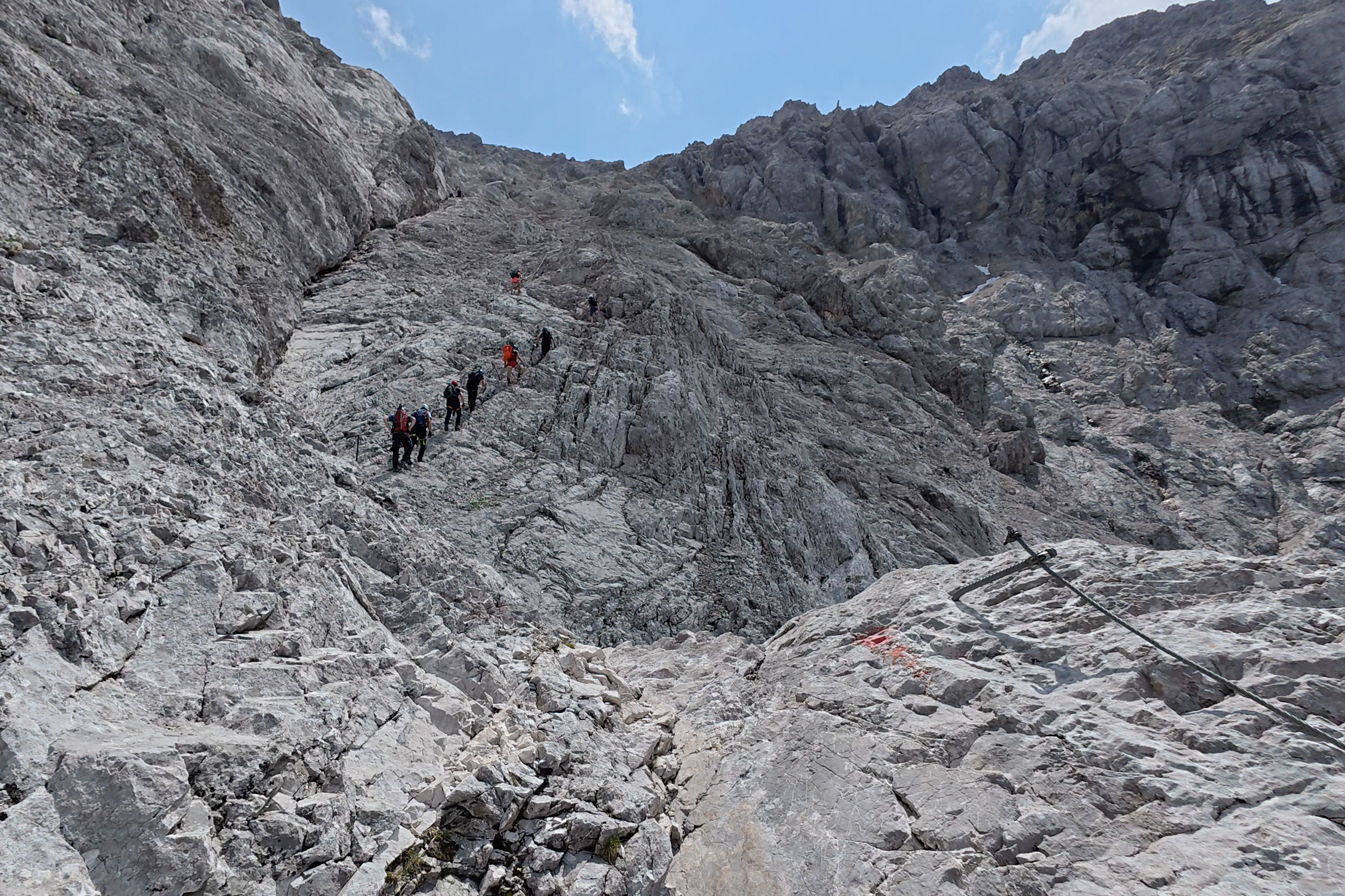
The end of this one really drags on, and the final stretch is some pretty horrible, reddish, loose rock. More reason for helmets.
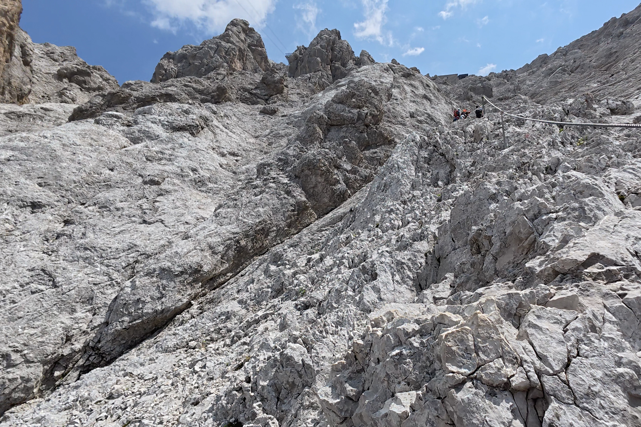
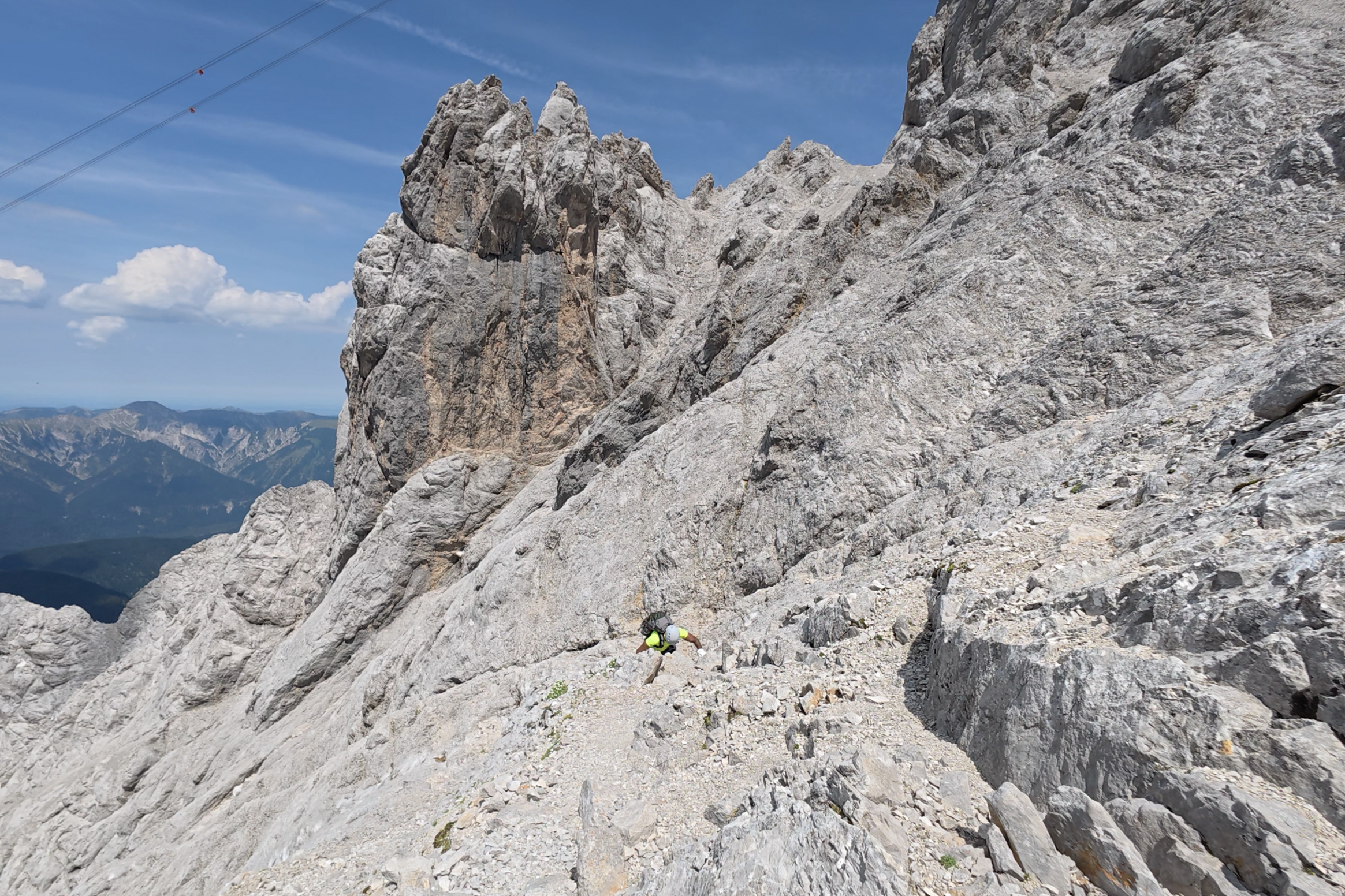
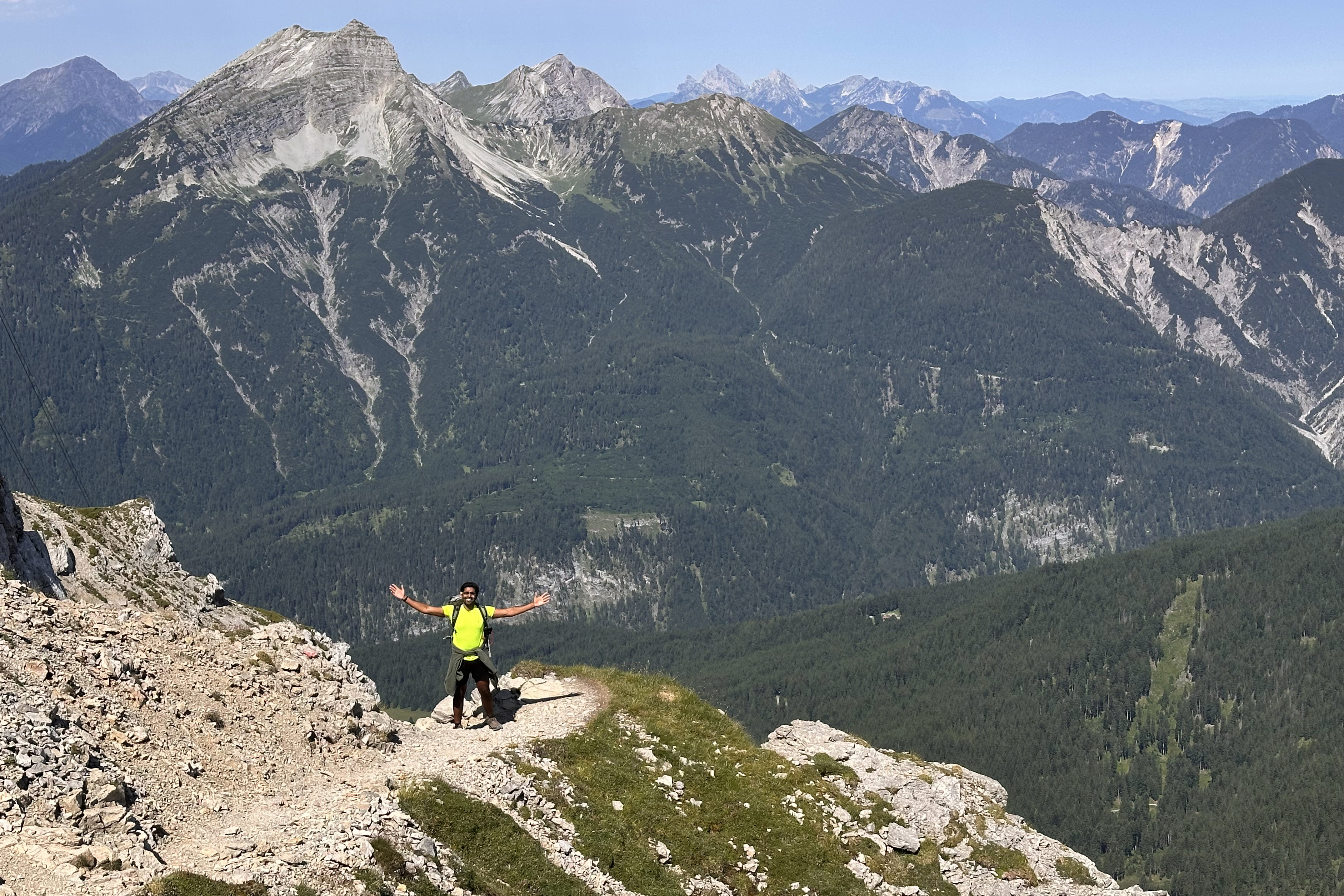
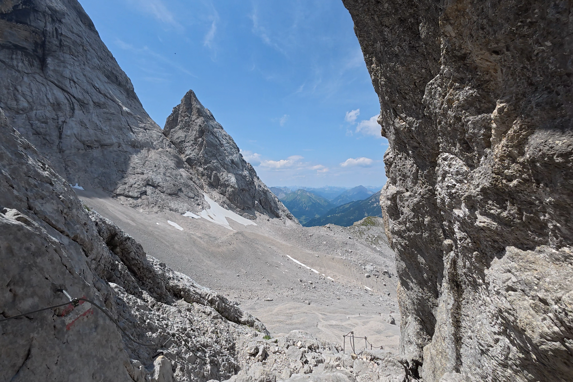
Just past that last photo is where the terrain gets less ideal. Still, I was soon standing on the saddle and taking in stunning 360-degree views!
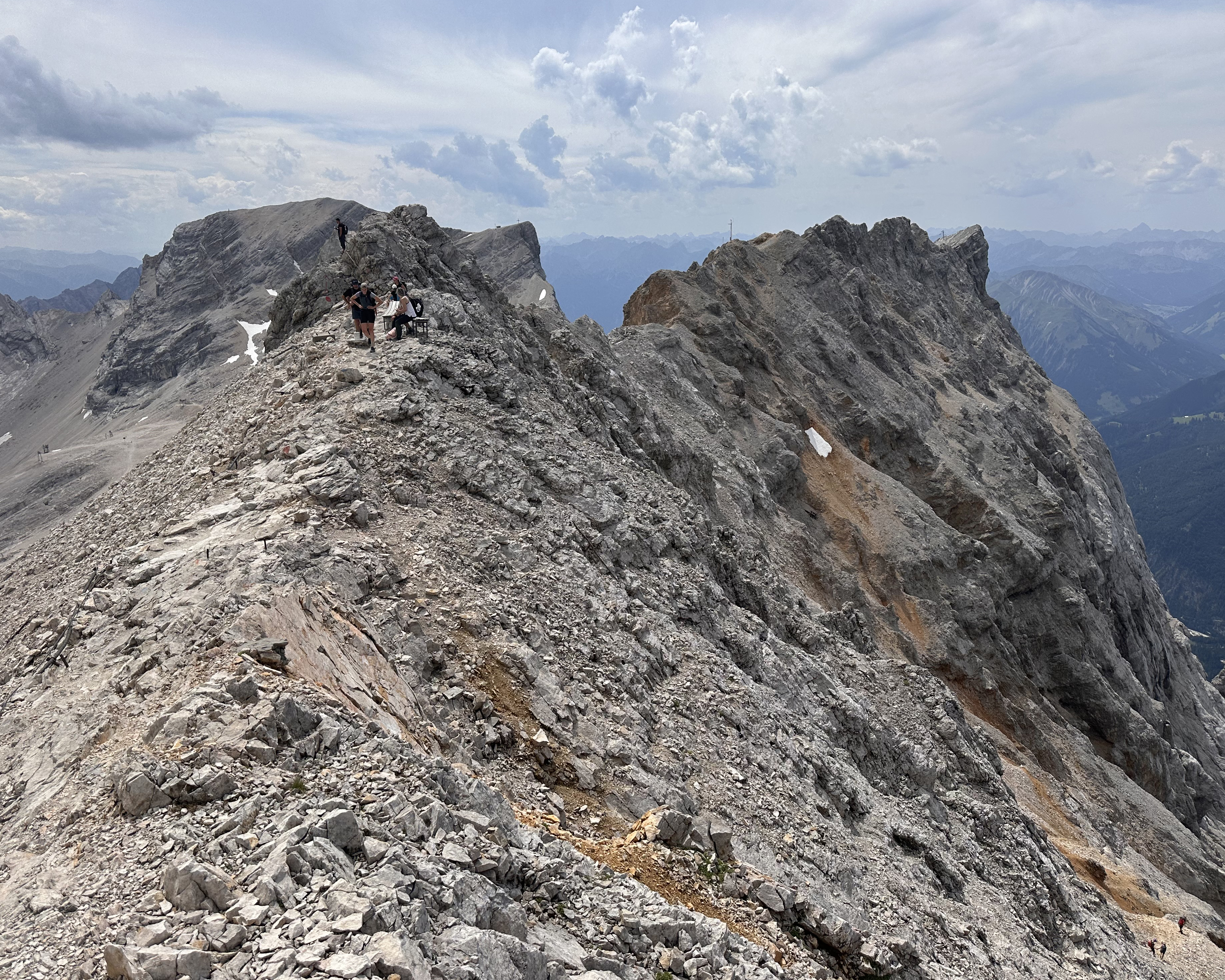
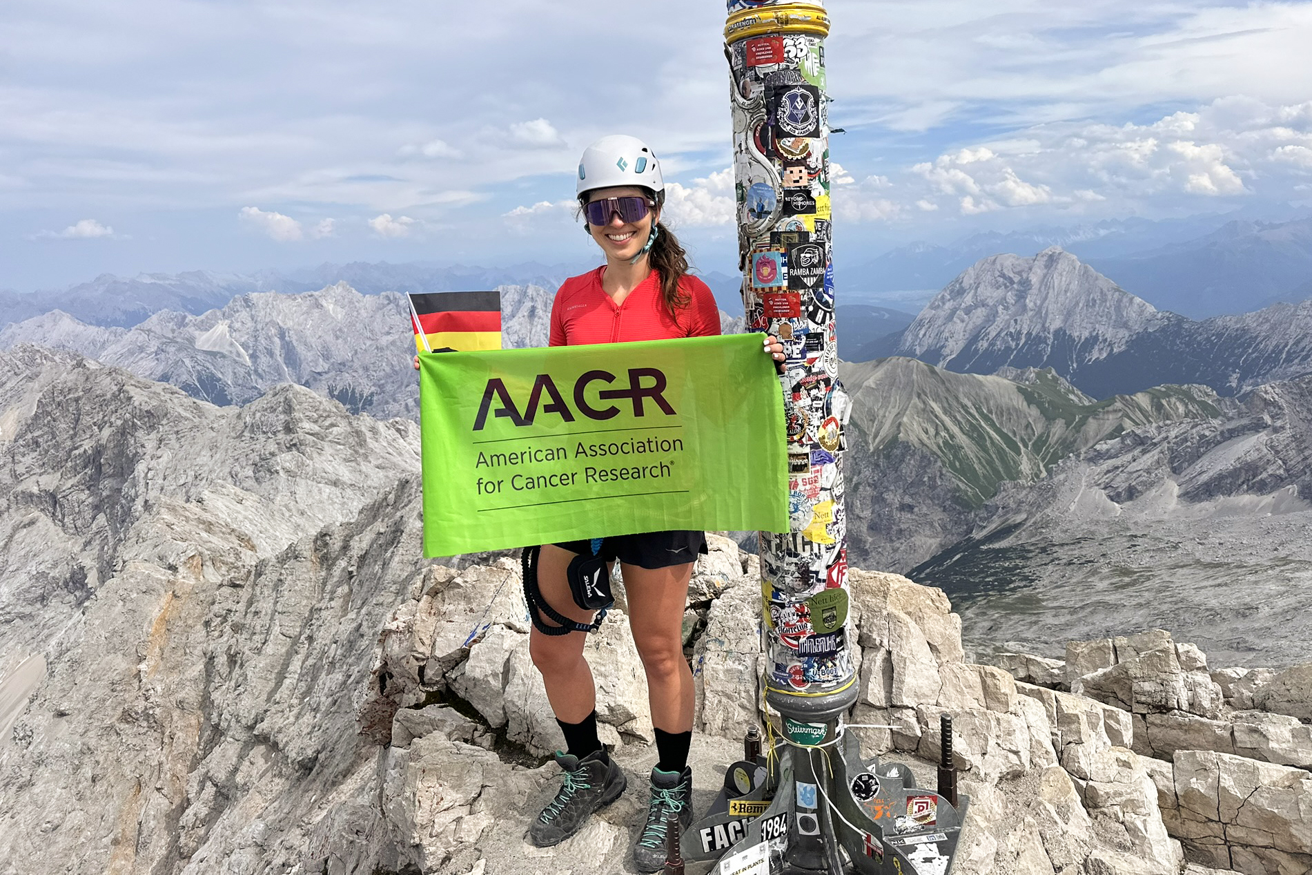
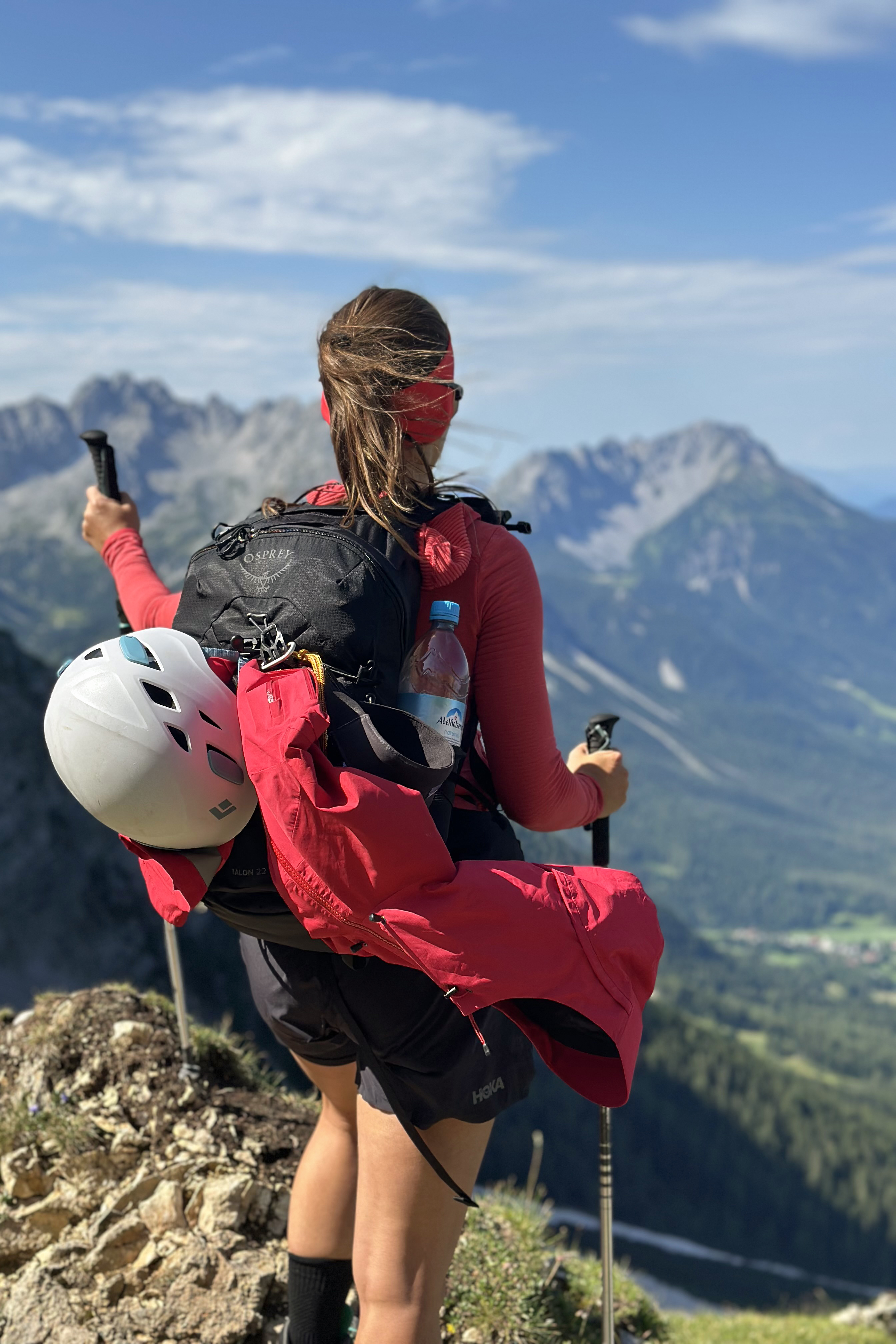
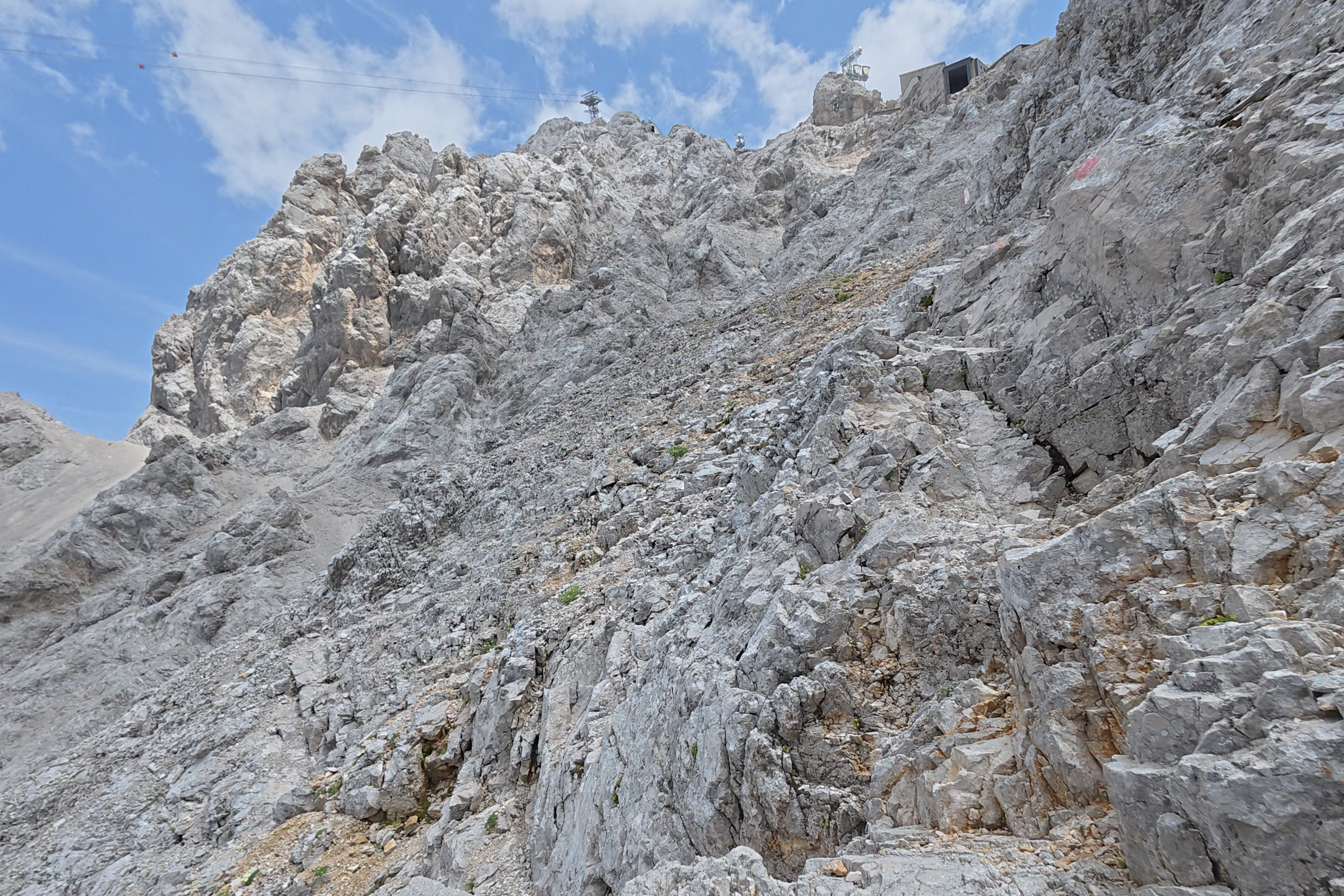
I was watching the skies nervously, though, because there were some clouds forming behind the summit, breaking apart, forming again, and darkening. We rushed up to the summit platform for some water and to check out the infamous summit queue situation.
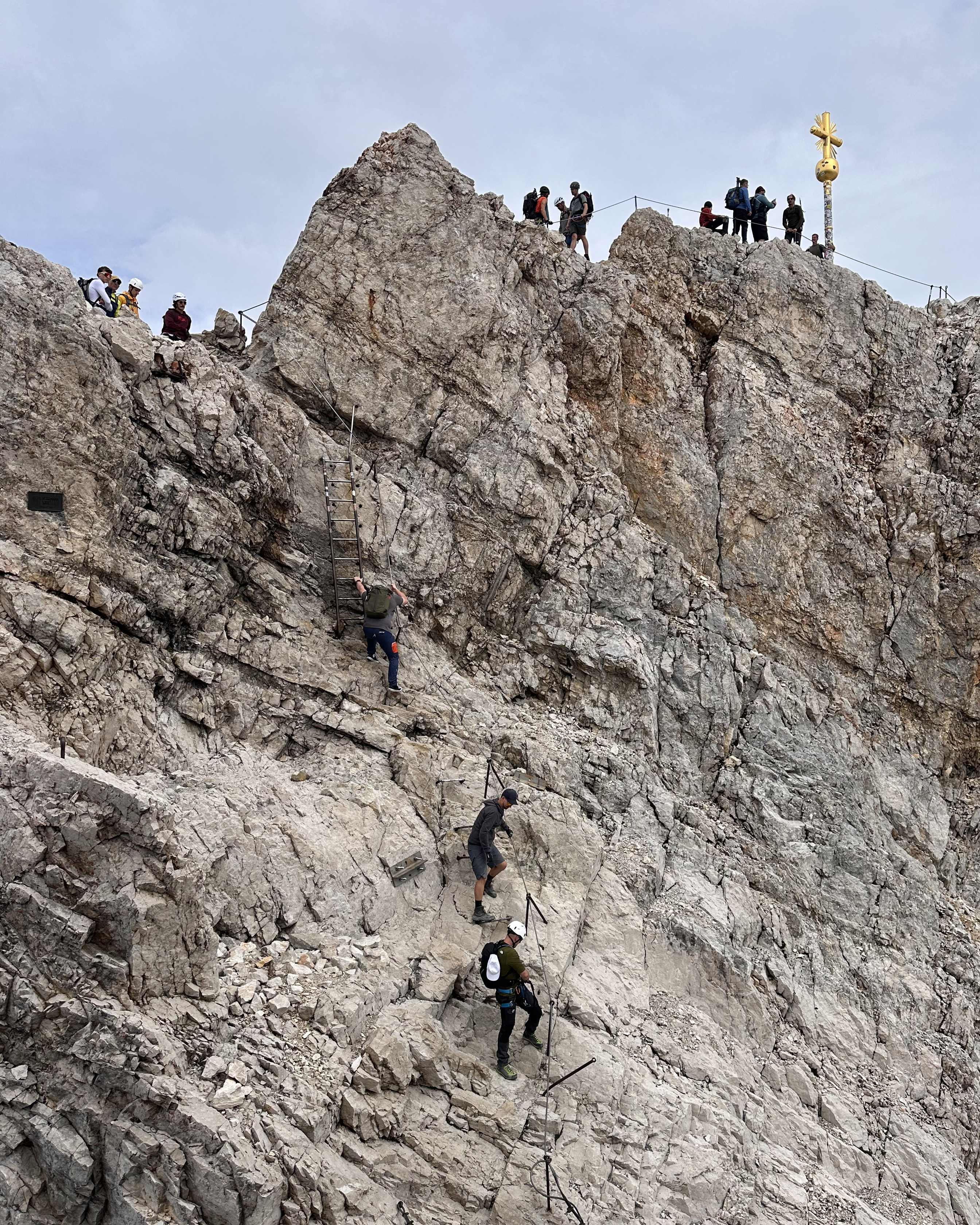
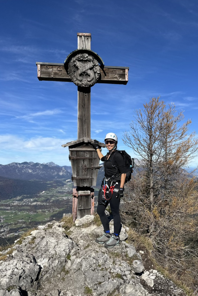
It turned out that it wasn’t too bad…but it still took a fair bit of time, as it’s a short climb up to the final summit (one-way scramble along cables). Then, it takes time for those queued above to get a turn to take their photo. Then, waiting in another queue to descend. It’s a bit of a mess up there. Anyway, made it!!
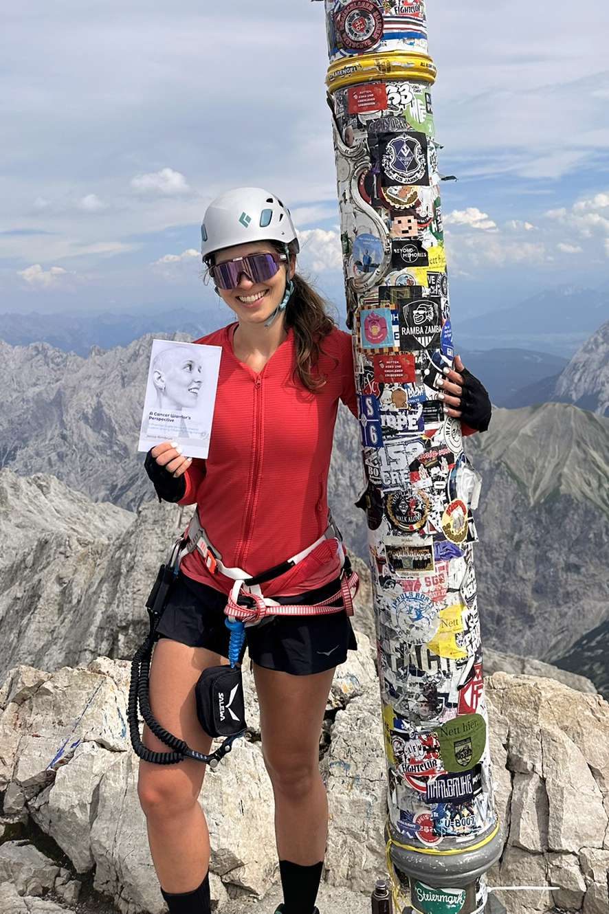
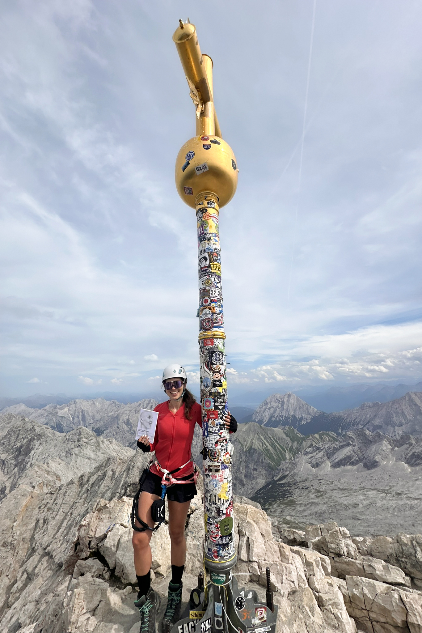
Why am I holding a book?
This is “A Cancer Warrior’s Perspective“, written by a cancer warrior herself, Janice Armbrust. If the book doesn’t look available in your region on Amazon, send me a message. (: This peak is dedicated to Janice and her ongoing battle (4+ years) with glioblastoma. It’s a very aggressive type of brain tumor (grade 4), involving a lot of uncertainty and challenging treatment decisions. While Janice is currently based in the United States (in the “PNW”), she was born and raised in Germany!
I read this book myself and really recommend checking it out. Janice shares her story and advice as someone navigating these challenges and difficult choices as a young adult (with barely any other resources available specific to that experience), and the target audience is warriors and their support system. If neither of those applies to you, I’d recommend it anyway! Whether you want things to think about with different challenges you’re facing (or your loved ones are), or to just read Janice’s badass story, grab a copy. It also makes a great gift for anyone coping with a new cancer diagnosis in your circle. Since this isn’t the most common type of cancer out there, awareness is particularly important beyond just those directly impacted. She mentions her successful Pemi loop attempt in that book, which was wild, because I joined up with them for the final leg of that loop. At the time, I had no clue what Janice had just gone through, having been diagnosed not even a year prior. It was a tough hike in tough conditions (hot and humid, and alternating between very buggy and very windy). Yet, she had so much upbeat energy hiking out on that last day and hasn’t slowed down the adventures since.
Beyond authoring her book, Janice has been an advocate for research and awareness through advocacy, interviews/podcasts, and finding ways to share her story with the world. Her Instagram is @a.cancer.warriors.perspective – follow along!! (:
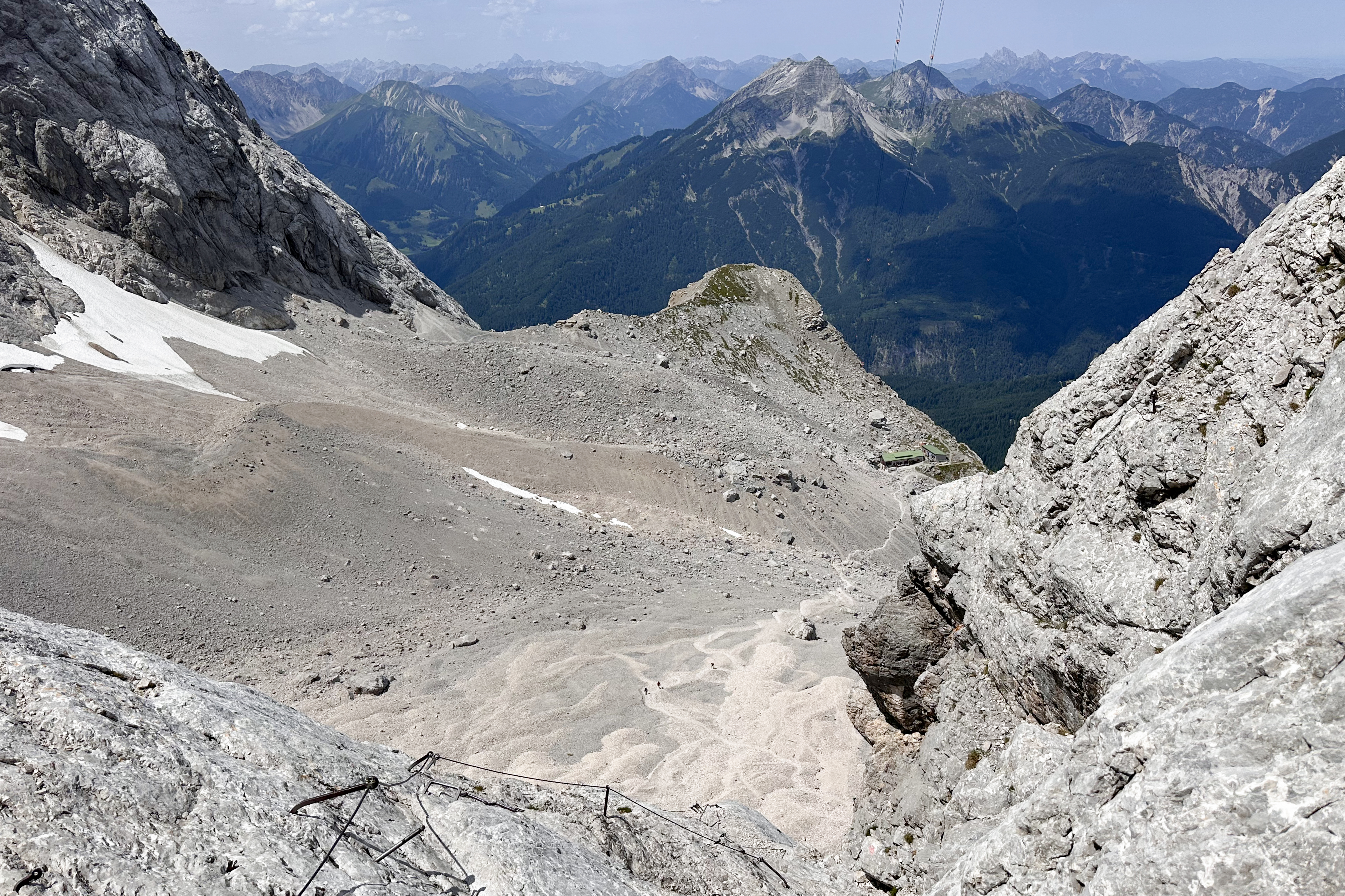
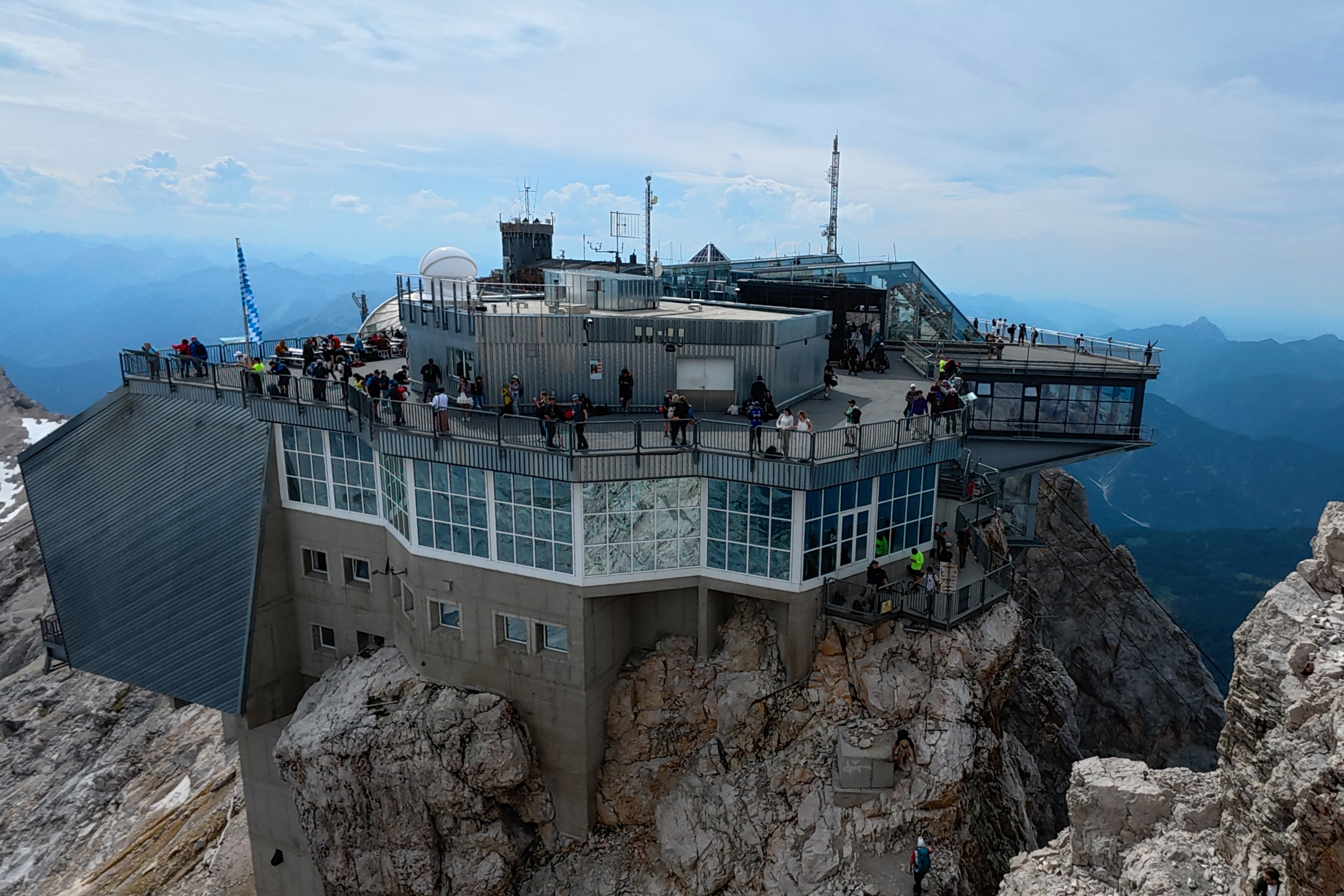
After the summit photos, it was time to head back down. Here was the view back toward the cable car station:
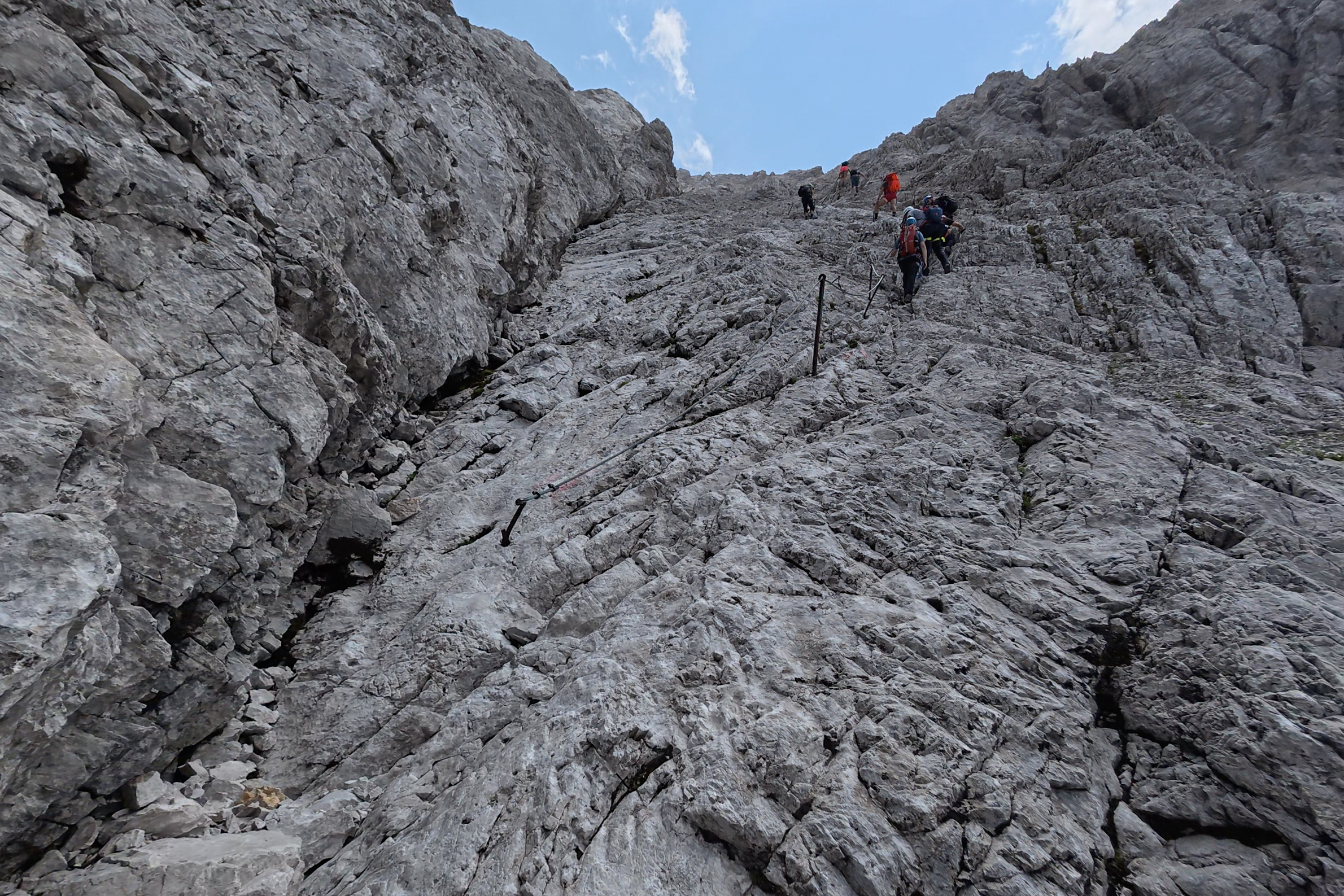
The late afternoon skies were clearing up and stabilizing into something that looked more overcast . Not so different from Slovenia two weeks prior. There were still people on their way up as we began our descent. Not too many…but it was getting later, almost 5pm, and people would be settling in before dinner. The descent to the hut is pretty short – just 20 minutes or so steeply downclimbing along some cables, then a flatter, rolling path the rest of the way to the hut.
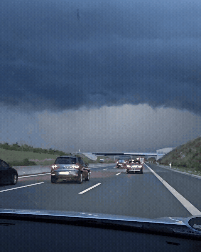
We started heading down, arriving back at the saddle just as the last pair of hikers was starting their final ascent. We continued along the ridge, but just before we turned off to start the downclimb..the cables started to give off mini shocks. A dark cloud had formed suddenly, in the span of maybe ten minutes, in a section of sky that had been perfectly clear all day. The grayer background even partially visible in the summit photos wasn’t the storm…it rolled in from the opposite direction, and FAST. At this point, it was too dangerous to run back up to the summit. In the next 10 minutes, the skies opened, helmets were back on to dodge the hail, and visibility went down to a few meters.
Therefore, I have zero footage of this descent, as the focus became safely reaching the hut. I’m just going to list some things that I think helped make it to safety, along with mistakes that fellow hikers might learn from (or just be reminded about). Good: memorizing the route. In the rain, you don’t want to be fumbling with phones or laminated maps. Bad: not realizing you can turn off your passcode (iPhones). I now do this before any hike with the potential of getting lost (in hurricane-like conditions, touch screens aren’t your friend, but Siri can still work…it just doesn’t bypass your passcode. So, without one set, you just hold the side button and say “Siri, open AllTrails”, for example, if your map is preloaded). Even with the route memorized, it’s extremely stressful to trust memory alone, without some peace of mind from GPS tracks. Bad: not checking with the hut at the summit before heading off. Don’t ever trust the sky “looking stable”- they’ll always have a more up-to-date forecast and radar. Also bad…not using the Windy weather app. It has basically every forecast model, so you can have a better idea of risk. Some models are better for storm detection than others. Good: brought emergency bivvy bags. While these wouldn’t have been adequate to wait out the storm in (out in the open, in metal bags), they were very useful in the chilly hut. Bad: regardless of the forecast…just do not, ever, get caught out on this route in the afternoon. From the summit down to the hut is extremely exposed with no shelter. It might feel like an easy enough route not to require a proper Garmin, full weatherproof gear, and laminated maps…but even fairly straightforward, short stretches become treacherous without shelter. This applies to Triglav as well, as that mountain was the site of an 18-person lightning strike rescue 3 years ago. Zugspitze might be one of the ‘easier’ Alps peaks at just under 3,000 meters…but the skies don’t care.
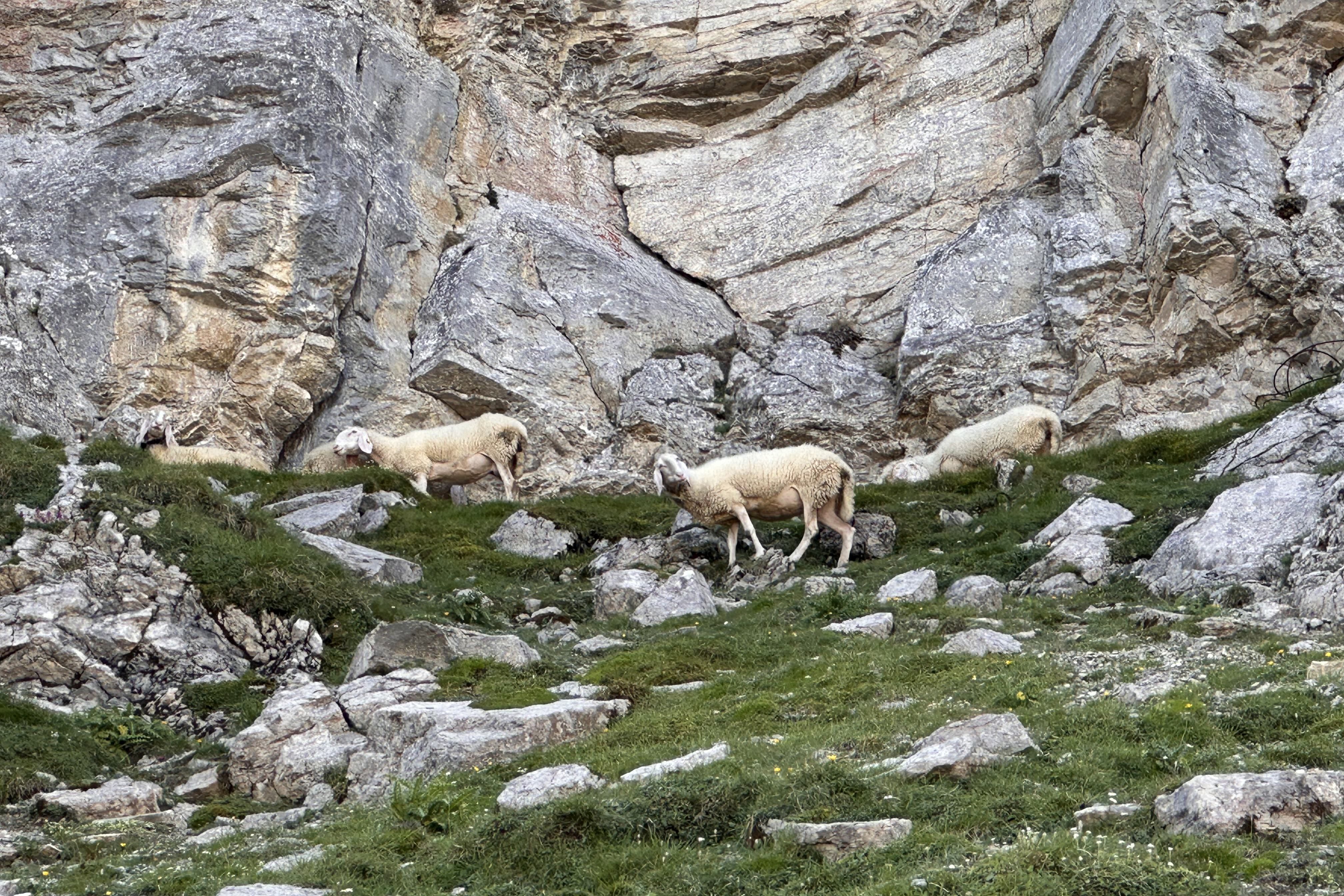
When the morning arrived, aside from the still-drenched boots, it was hard to believe this place was anything but paradise just hours before. It was once again sunny, so we had a quick breakfast before setting out to enjoy a long, but peaceful, descent. Maybe peaceful isn’t quite the right word, because immediately upon exiting, we were ambushed:
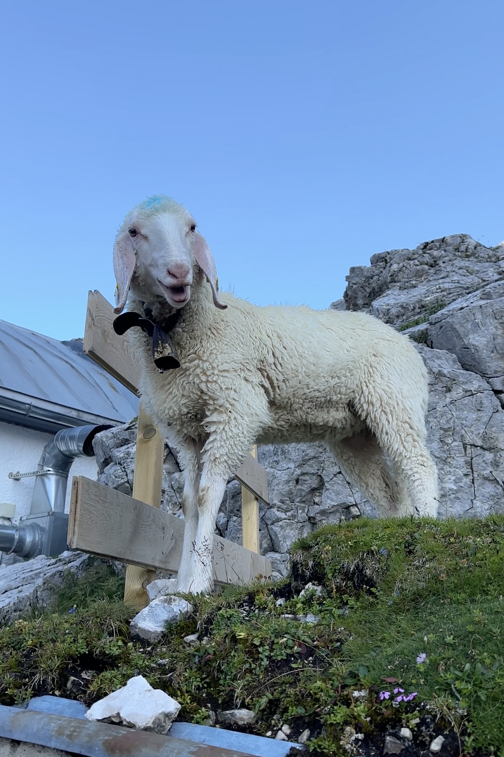
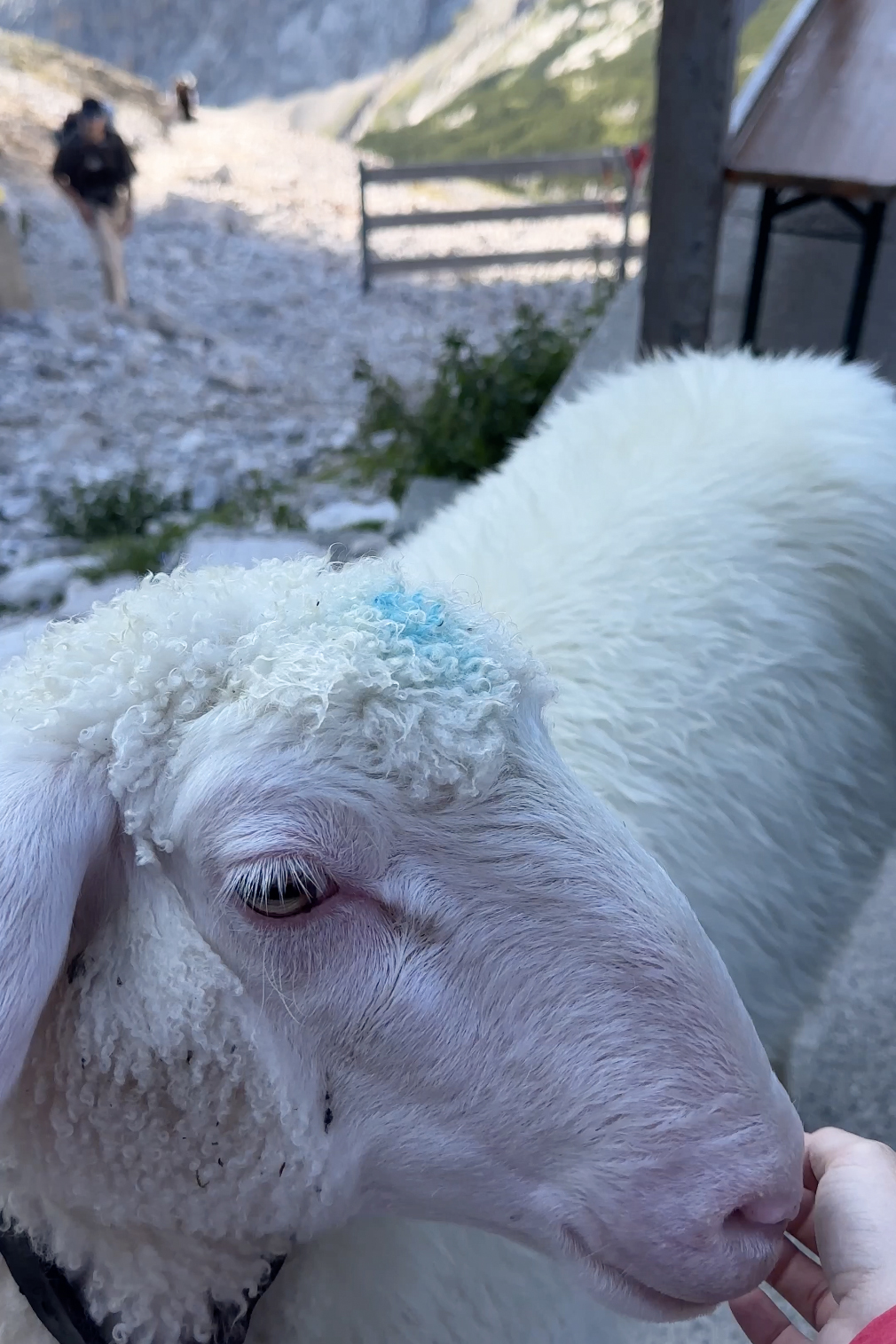
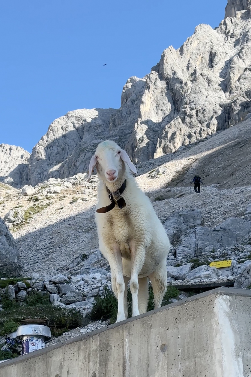
There is a sheep montage in the Germany highlights on Instagram (just as with Ireland/Carrauntoohil, 2 peaks before this one). They really are adorable. Unfortunately, we were on a schedule, as we needed to make the last train and drive back to return the car in Cologne (before I’d begin my train journey back to London – no flights this time!).
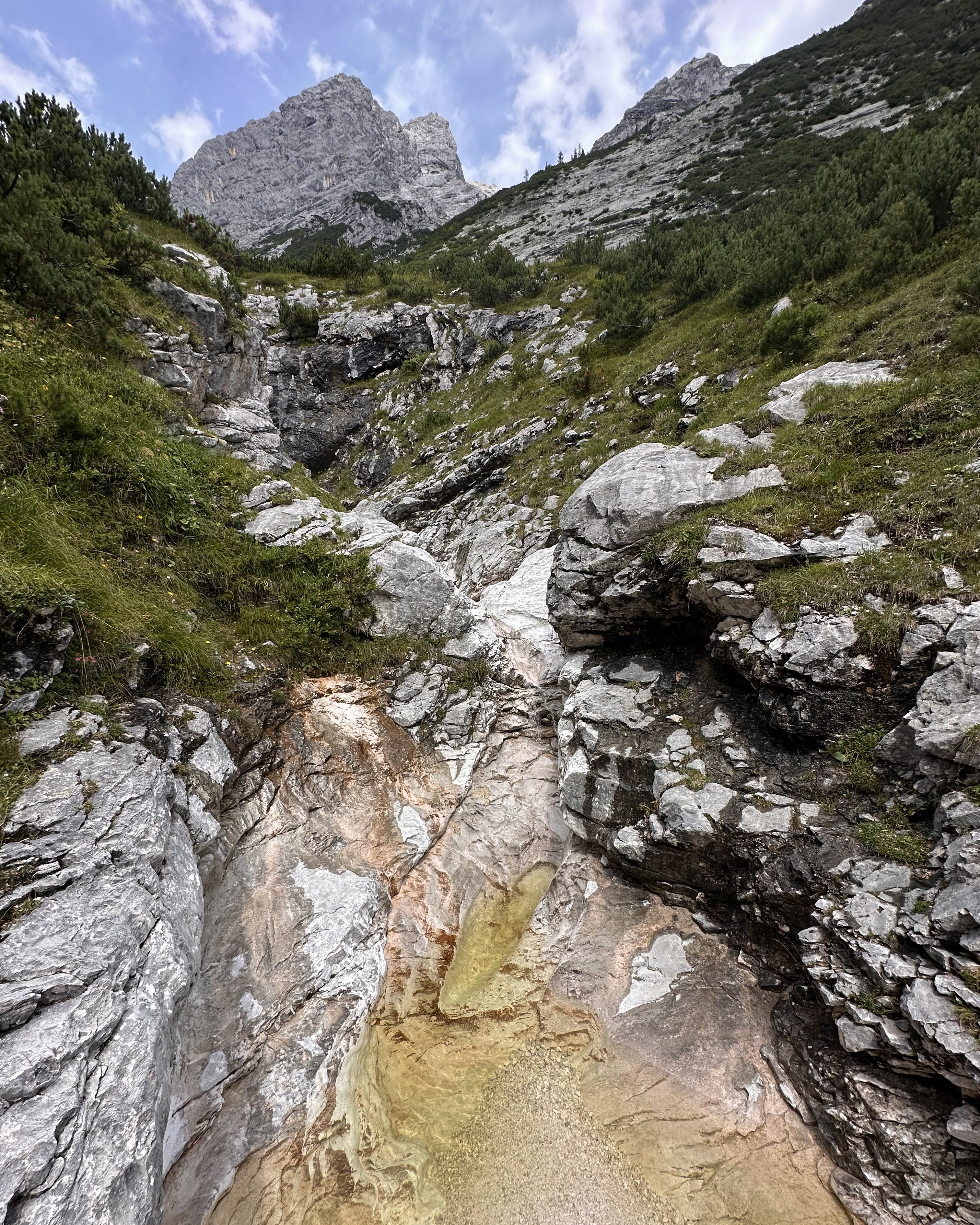
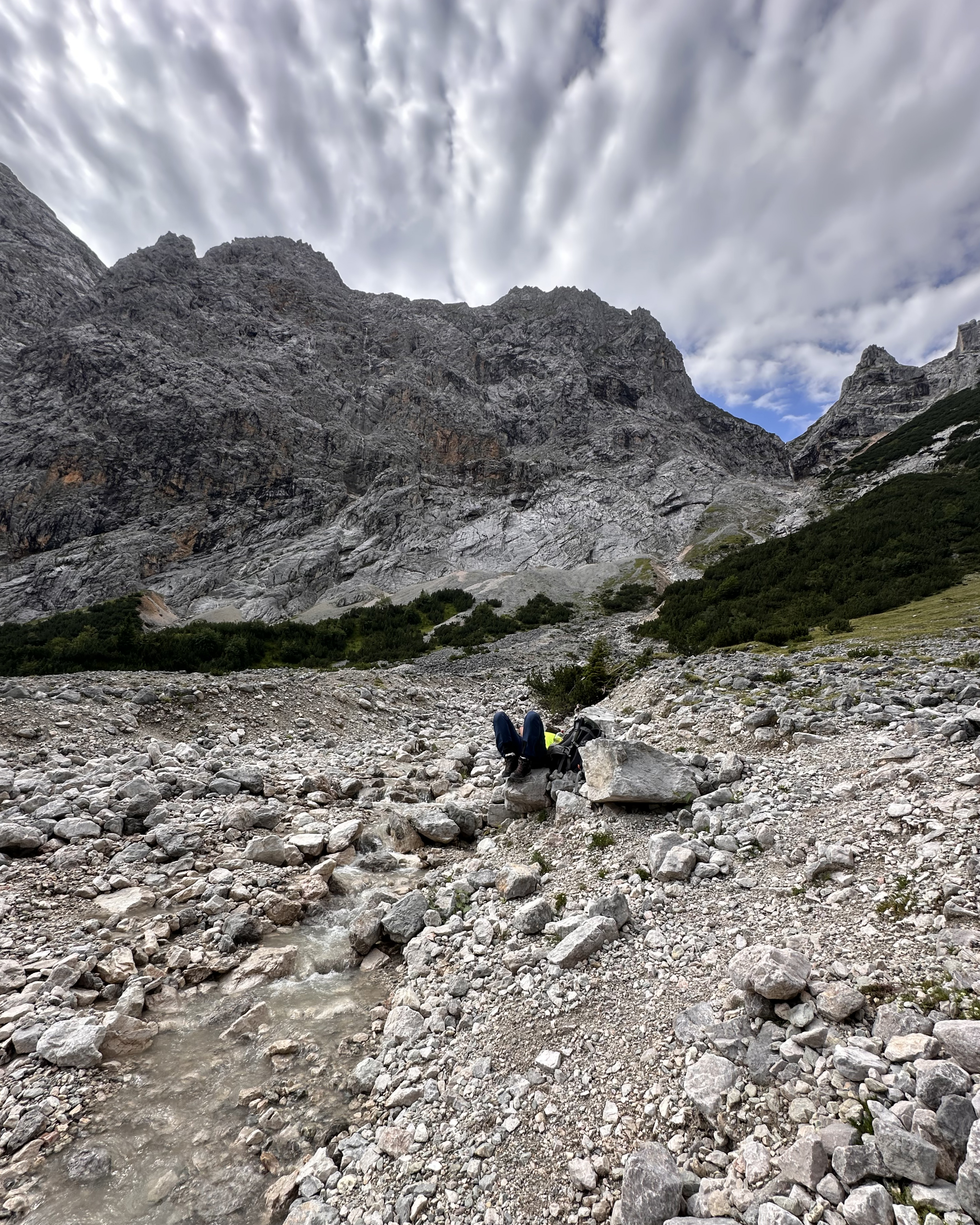
After a rocky, steep, initial descent (not too bad, though), the valley opened up below:
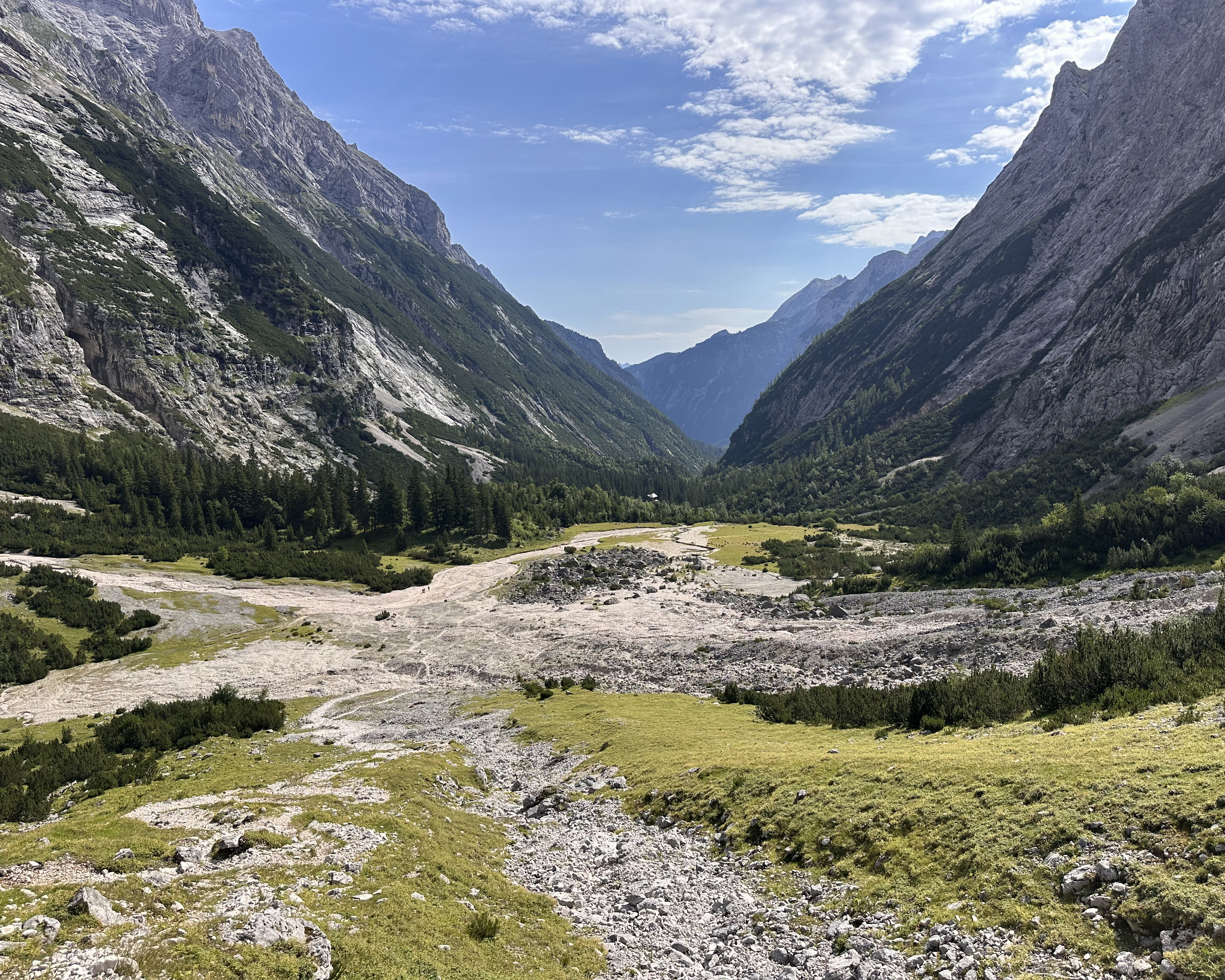
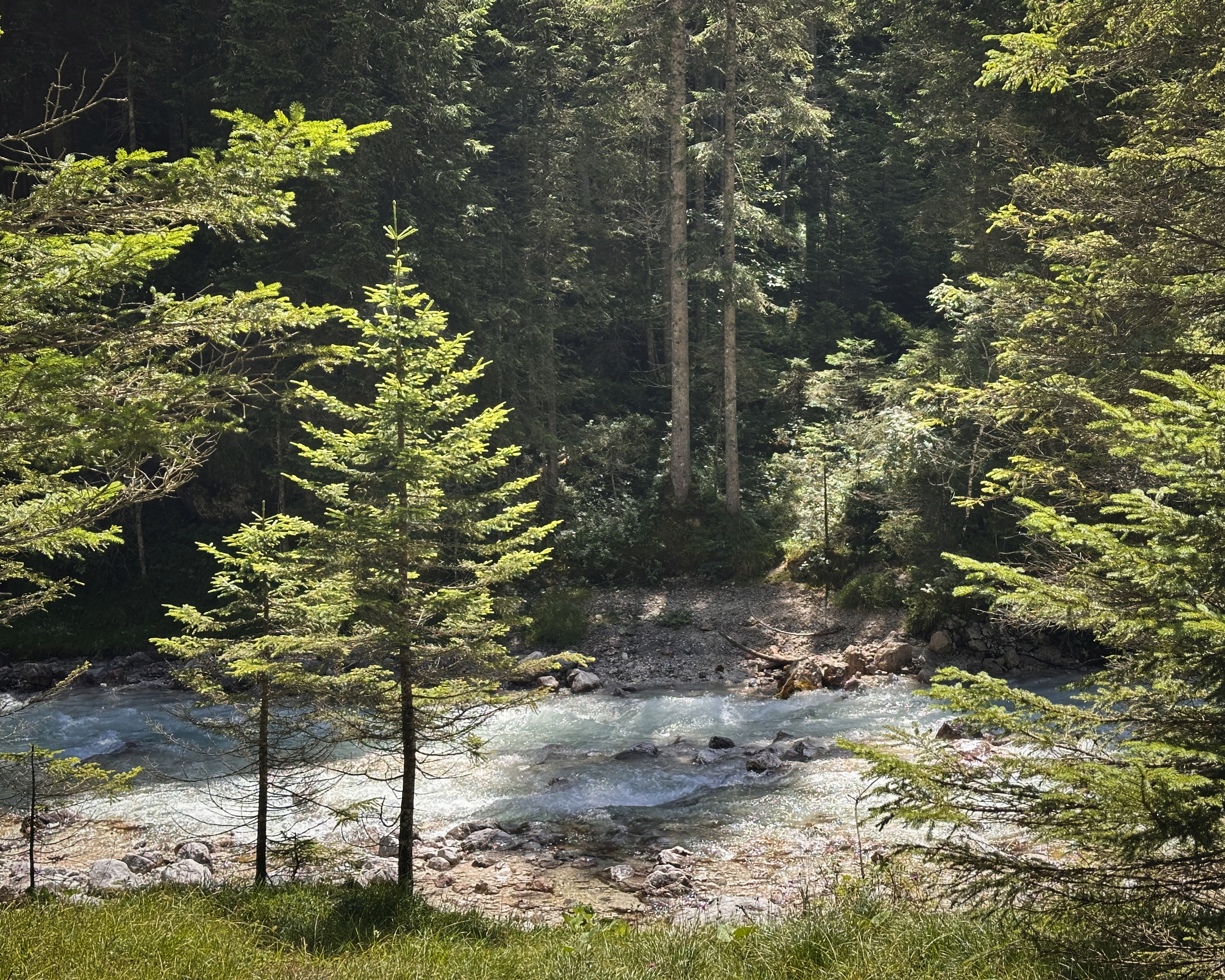
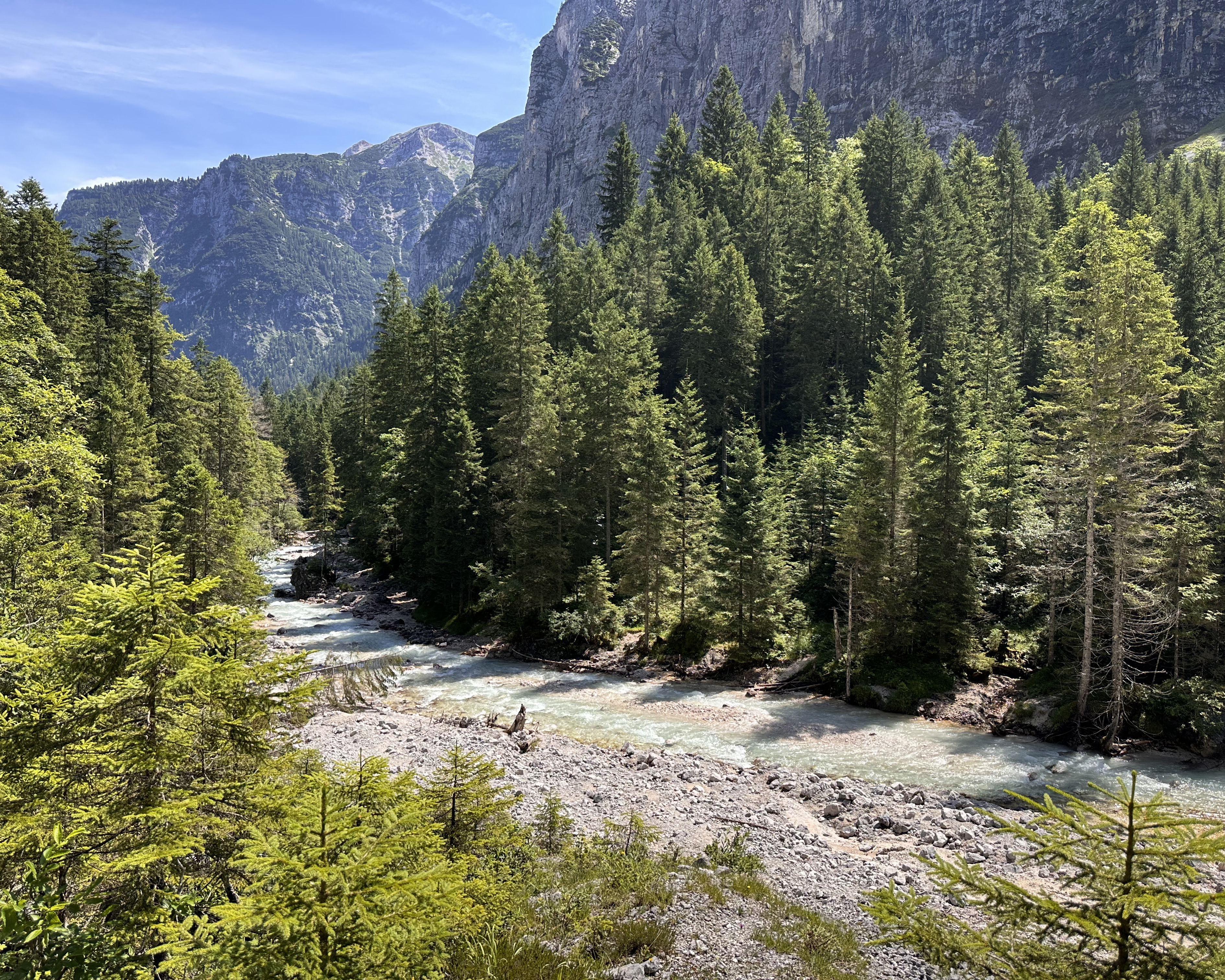
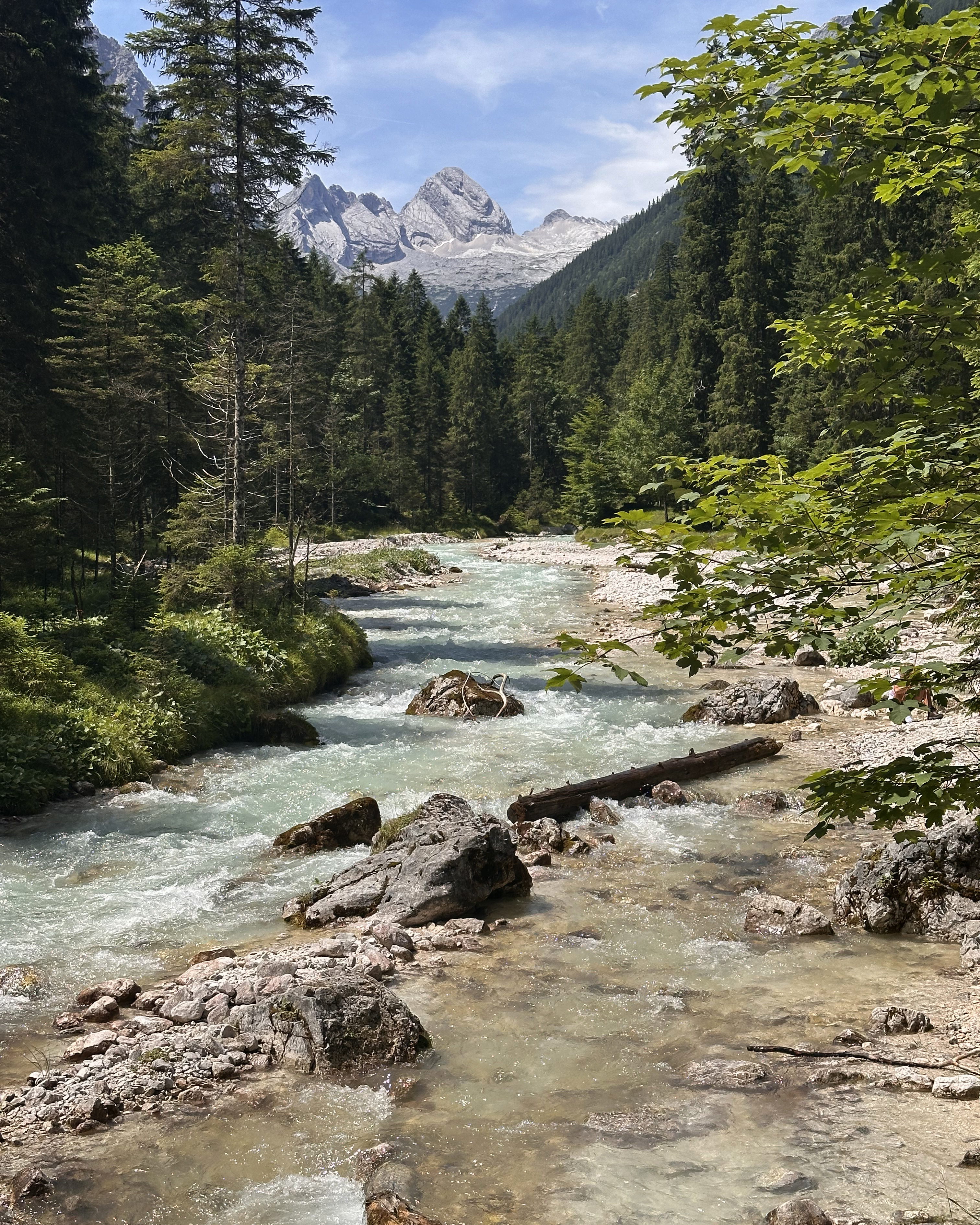
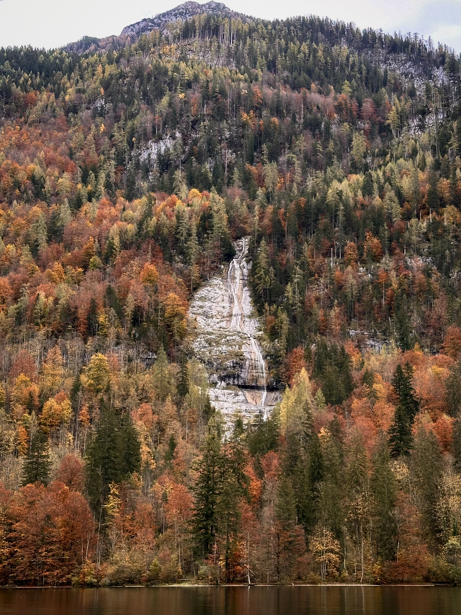
The route back to Garmisch-Partenkirchen then descends more gradually, following the river for a large portion of it, ending at the Partnach Gorge. On the way down, we had a coffee break in the Reintalangerhütte. Here are some of the views around there (clearly, I forgot to take photos in the actual hut):
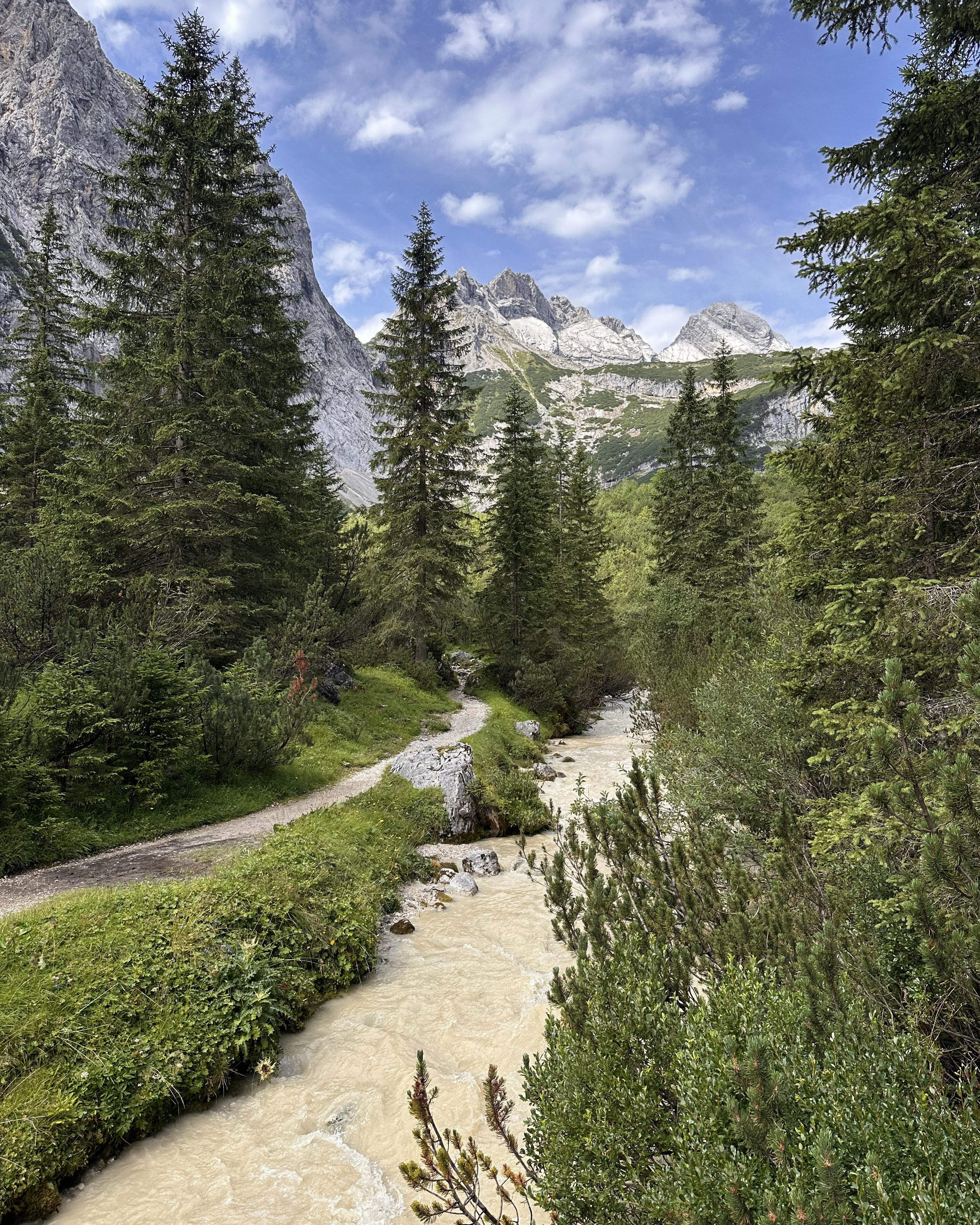
The river was murky initially, largely because of the storm the day prior.
Here’s what it looked like a bit further along, though:
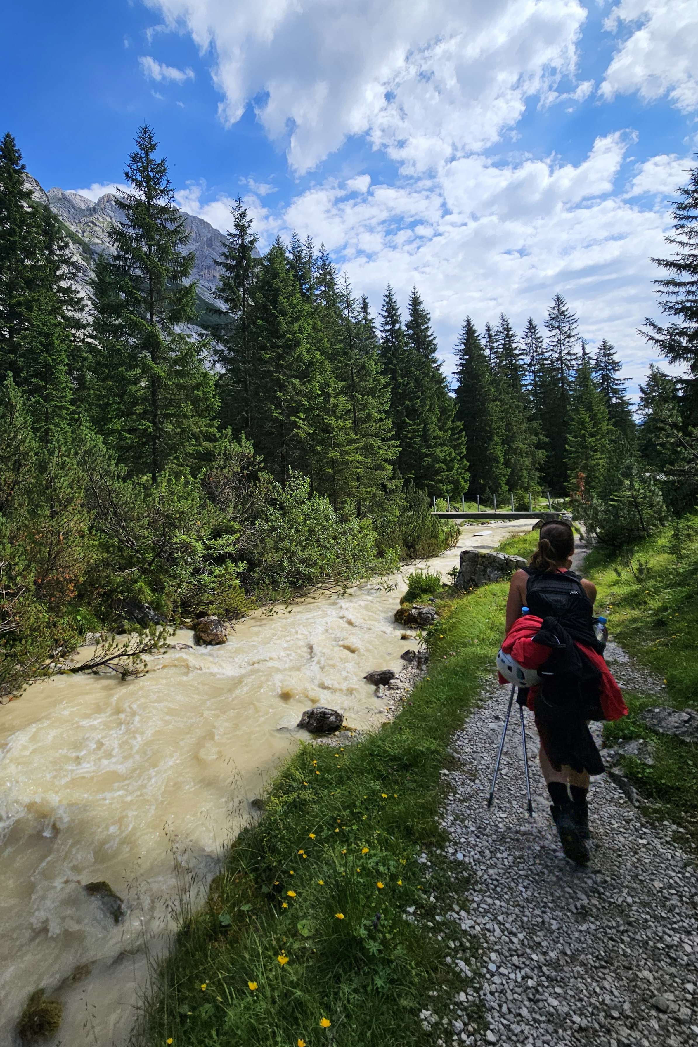
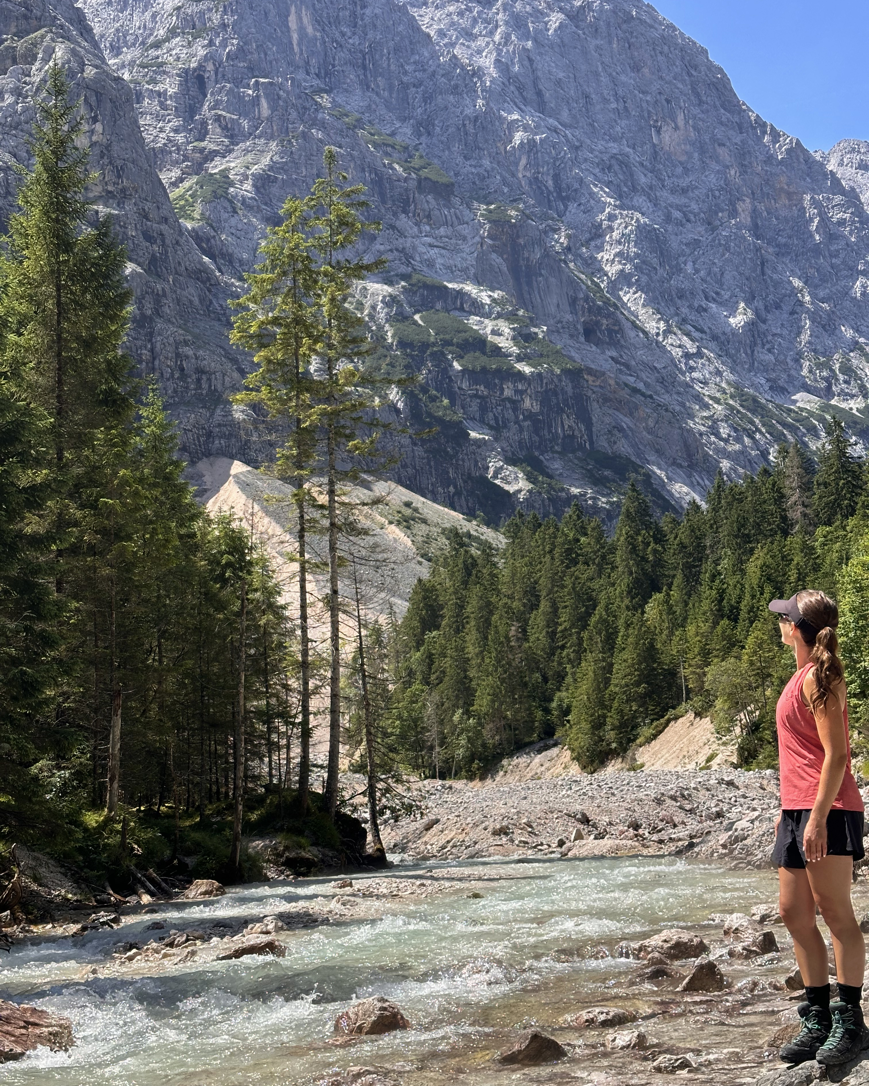
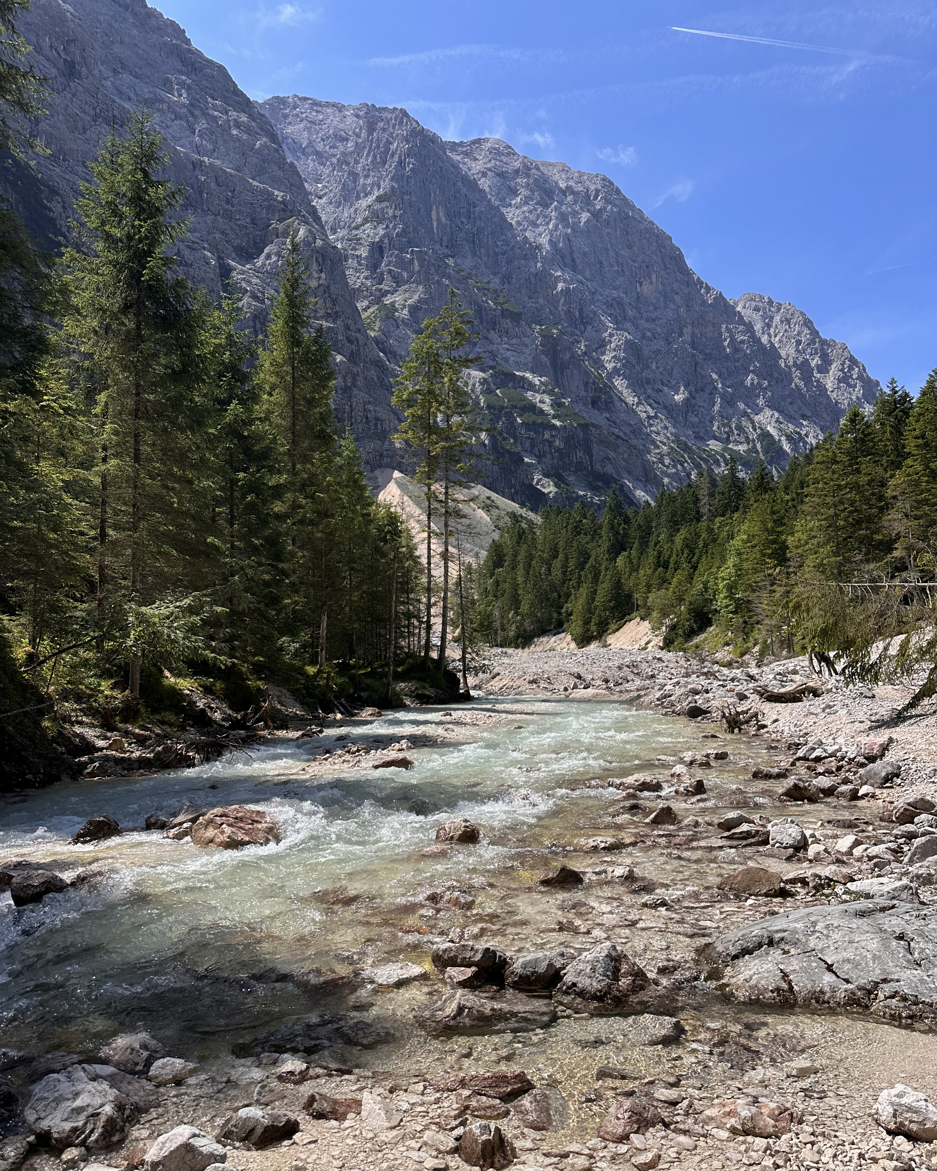
These next two photos are from one of my all-time favorite trail snack spots. I laid out some of my wet clothing to dry a bit more, and it was a hot enough day that even 20 minutes of this helped. This was also the point when I realized I’d left my shoe inserts in the hut. I was doing this entire ~18-kilometer descent without them. Oops. In my defense, we’d put plastic bags around our feet to keep them dry from the still-wet boots, so it was less obvious that something was off.
It was a bit after this point that I began to be ambushed by creatures not nearly as cute as sheep…black flies. They were HORRENDOUS. The dramatic caps lock here is warranted. As with the storm, I’ll share my learnings. 1) Bring long layers to put on, even on a brutally hot day. Ideally wear light colors (they’re attracted to dark colors). Sweat and the smell of sunscreen make it worse, so cover up with fabric instead of scented creams. 2) Do not flail. If you’re getting bitten, cover up, but flailing just attracts swarms of them. I had at least 20 around me at any given time, and the only relief was outrunning them, slapping myself everywhere. In insert-less boots. 3) Don’t have O-type blood. This might be a myth…but I felt targeted, regardless.
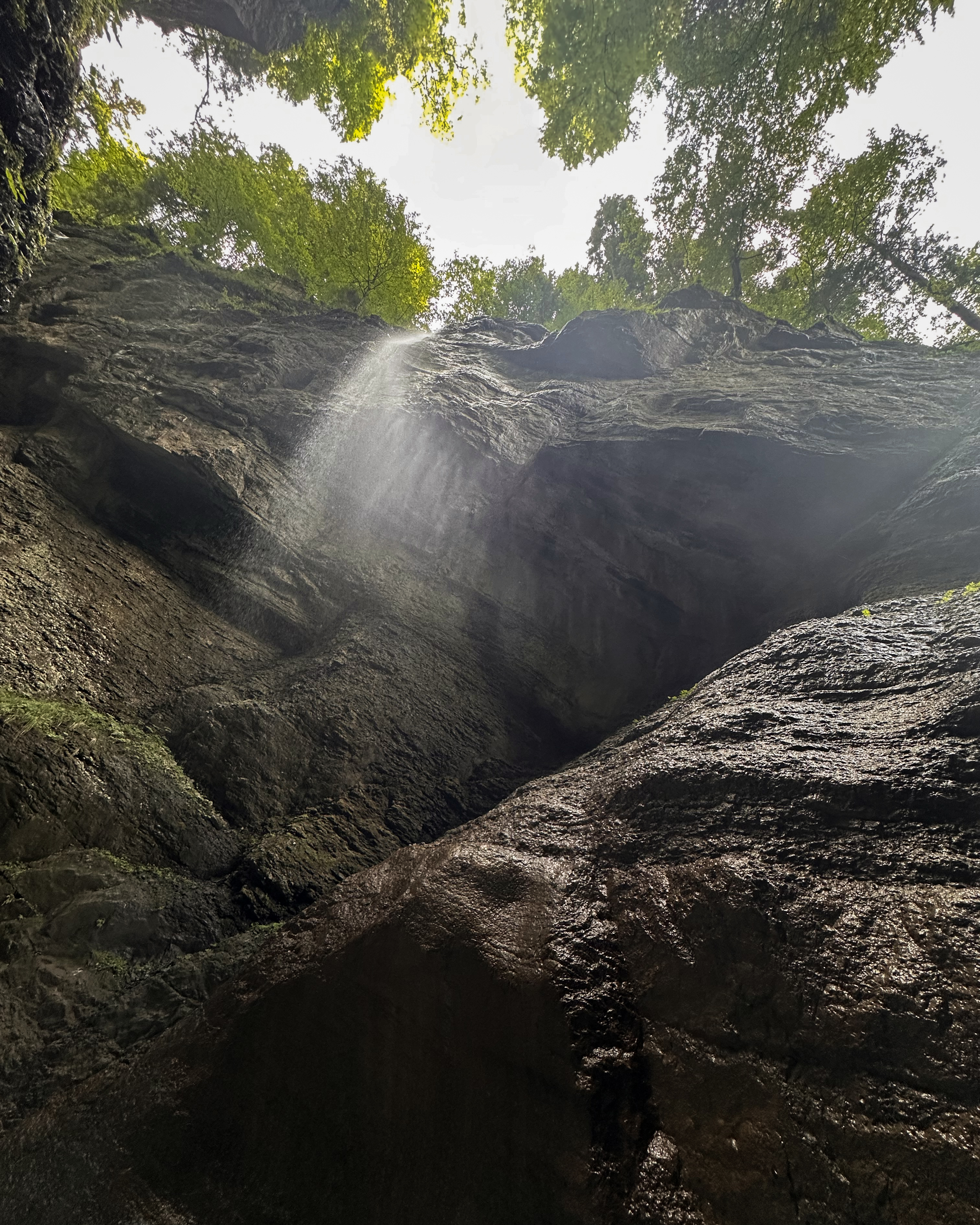
There’s one more hut where you can take a proper break on the way down. It’s near a bridge crossing (before a very bug-heavy section of the trail begins), but look at the view!!
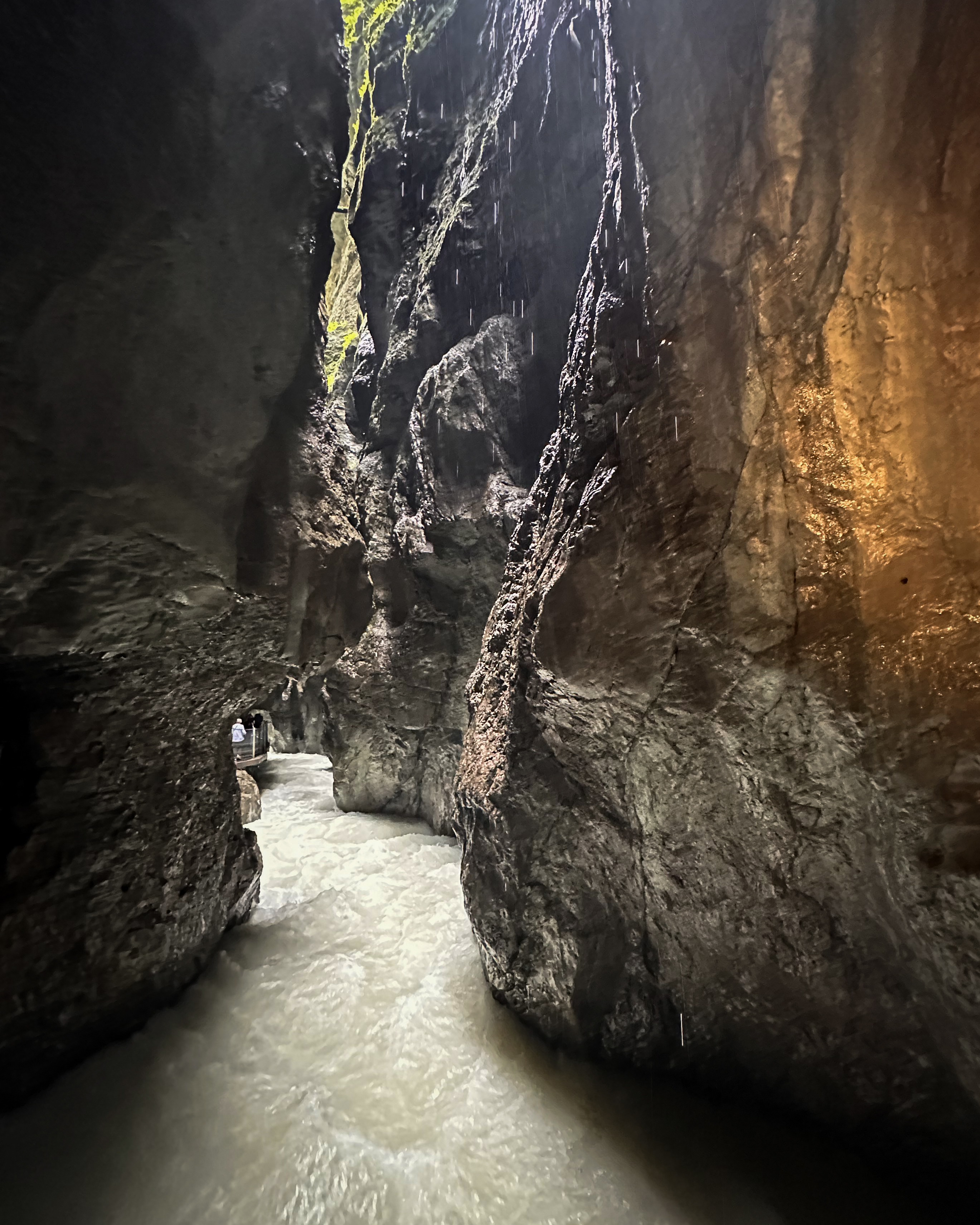
There comes a point in the trail where you can continue directly through the touristy Partnach Gorge or bypass it (adding a bit of elevation gain, but not much distance). If I were to do this again, I’d skip the gorge. There were maybe more tourists than flies, and after a long couple of days on the legs, waiting in cramped tunnels for one-way pedestrian flow wasn’t the most optimal way to end it. It was cool to see, though, so it could be worth it if you start your hike from that side and arrive right when it opens. These are the only half-decent photos I snapped from my phone:
The last stretch from the gorge to the train station dragged on for ages, even if it was only three kilometers or so. I had pretty bad Achilles and toe pain. I didn’t know it then, but this toe would turn out to be the most disruptive thing to the challenge for the rest of the year.
The Skies Weren’t Done
We managed to get to the train on time, saw our bus (correct number, at least) waiting right there, scrambled to get on, realized it was headed in the wrong direction, went on a 25-minute detour for a 5-minute bus ride, and eventually ended up back at the car. Germany really had out out for me, and it wasn’t done yet.
Most of the drive back to Cologne was through yet another intense thunderstorm, for 7 hours. It was a Sunday, so not many restaurants were open. By the time we arrived back at around 2am, we were absolutely spent.
After some rest, my return trip to London followed the same route in reverse, but this time, I had no energy for another Brussels city tour. That second leg back to London was delayed an hour, so I ended up with a Eurostar credit – not bad! (:
That was a wrap on Germany this time around. It was my third time in the country, as I’d already visited Munich on one trip and Berchtesgaden on another. My first-ever via ferrata was there (Jenner), and I’ve been hooked on those ever since. It was pretty cool to take one to the highest point of the country 9 months later. (:
THANK YOU ❤
Thanks for reading my seventeenth Crown of Cureope blog post! At the time I stood on the top of Germany, we had raised $1,620 for the American Association for Cancer Research to fund lifesaving discoveries. As of publishing this post, we are at $1,750 raised of our $2,500 2025 target. There’s still a bit further to go to hit this year’s goal – any donations are appreciated!!

Leave a comment