
Pre-amble
When I stood on the summit of Triglav on July 5, 2025, I had no idea that exactly 1 year later, I’d be standing on another summit in the Alps (and the only one I dreaded in this challenge, despite its location in a tiny country of only 40,000 people)! Nor did I know that I’d share that summit with a 10-year-old: Frankie! He and his mother, Basia, are flying through the European country tops as @frankie_moves_the_mountains raises funds and awareness for Cardiac Risk in the Young (nearly £30k raised so far!).
I wasn’t initially planning to join them on this one, since I was scheduled to climb Dufourspitze in Switzerland that day. Three days after completing Mytikas, I had traveled to Chamonix for Gran Paradiso and Mont Blanc. While Gran Paradiso was successful, I strained my quad tendon on the slushy descent and nearly didn’t attempt Mont Blanc.
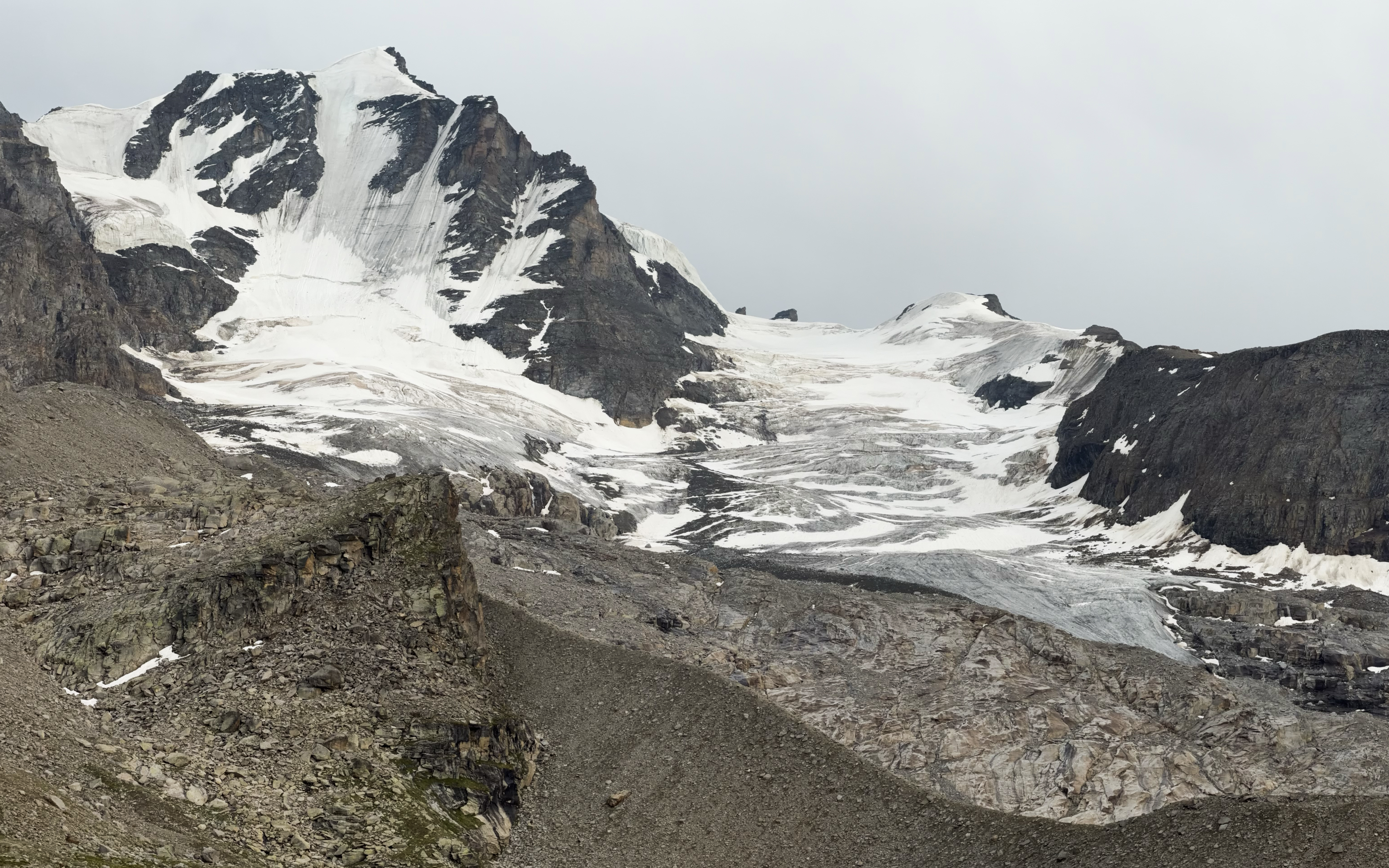
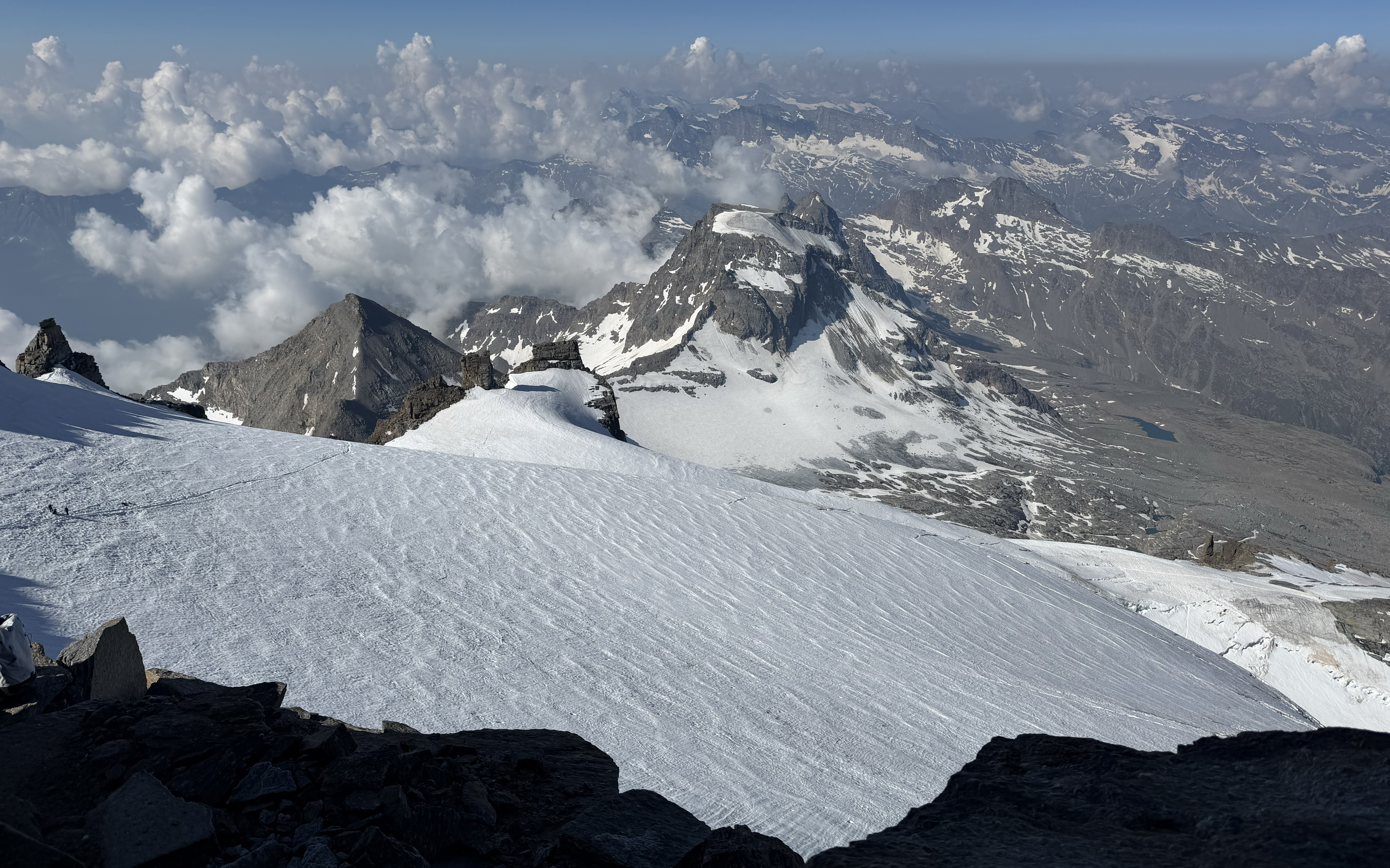
Most of our 10-person group had partial falls into crevasses…despite the temperatures starting to cool, conditions in the Alps were deteriorating fast. There was hardly any snow left on the Italian side of Mont Blanc. After successfully descending from the Chabod Hut on Gran Paradiso without ibuprofen, I had the remainder of the day to rest the knee. We had a debrief back in Chamonix, where the guides confirmed stable-enough weather and terrain conditions for an attempt. I decided to go for it, one day at a time.
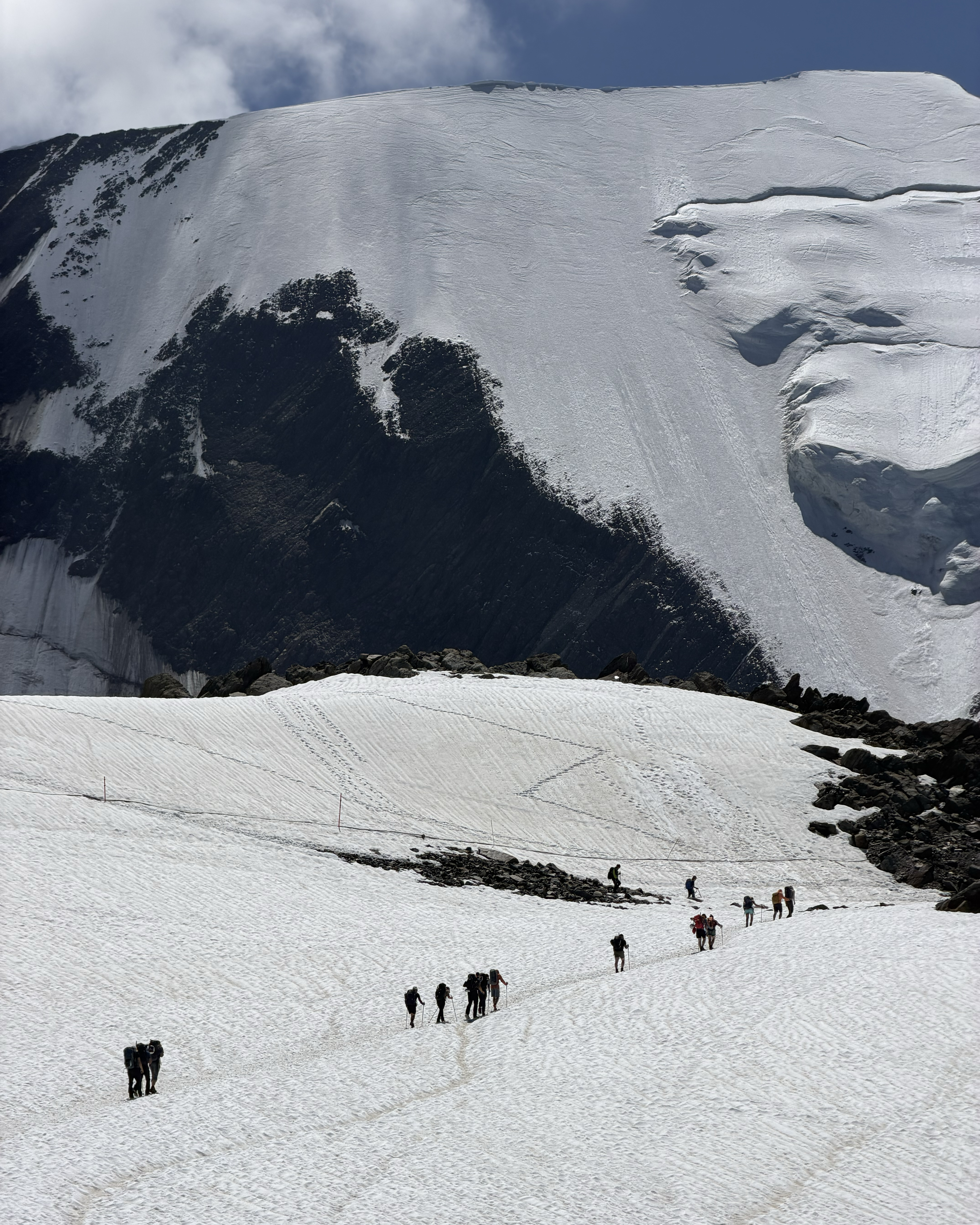
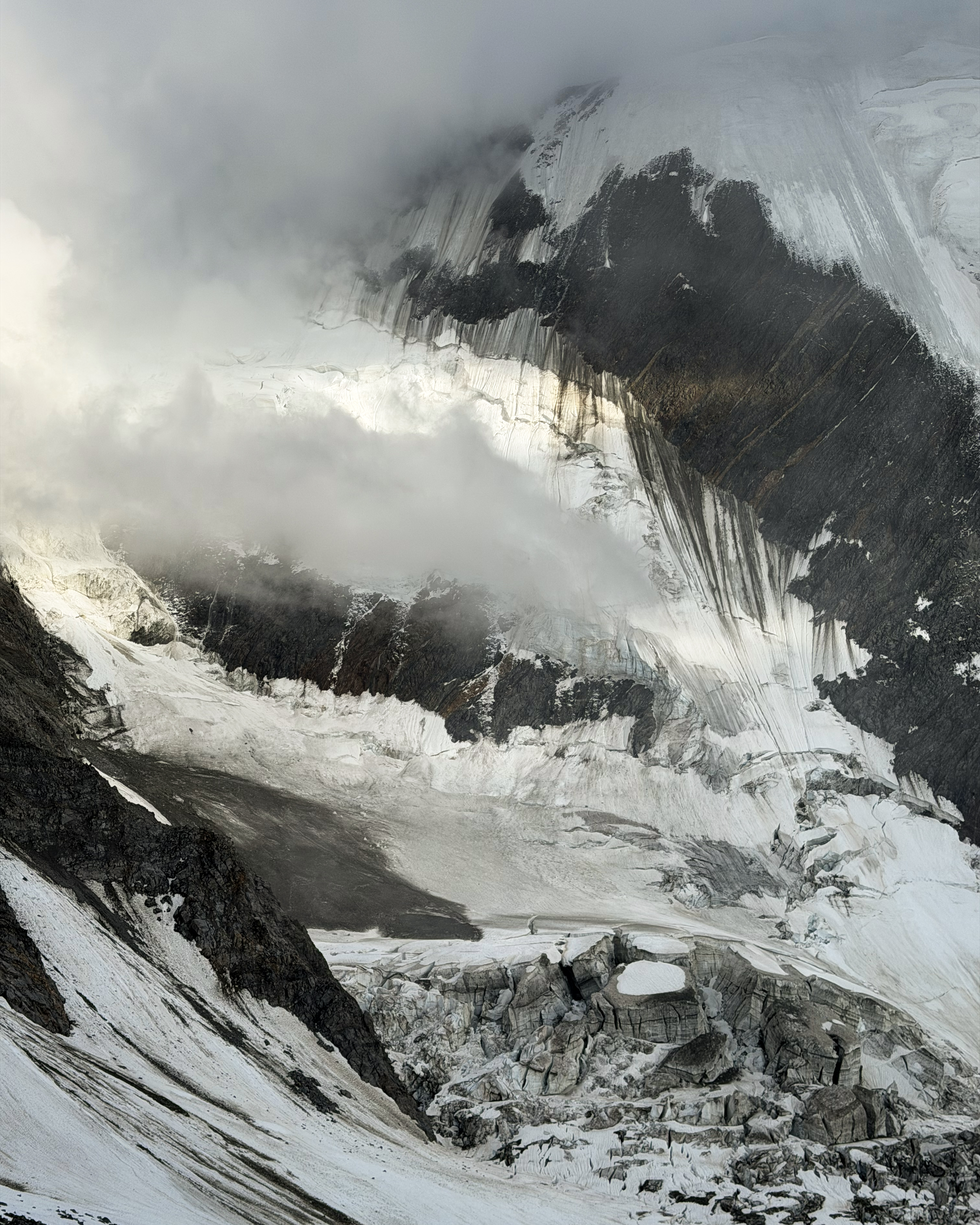
The first day up to the Tête Rousse Hut was simple enough. The next day was when our luck started turning south. We started our push to the Goûter Hut at 5am, but poor visibility had us waiting at the Grand Couloir for a while until it was safer to cross. Fog rolled in and out throughout the scramble, and we barely saw the outline of the hut until we were meters away. We were inside before 8am, right on schedule. However, the guides got wind (pun intended) of a potentially worsening weather forecast, with thunderstorms expected around 1pm. The summit push can take 3-5 hours, with another 1-3 for the return. The following/final day carried a risk of high winds and a 2am start with a full single-day descent back to Nid d’Aigle. That carries addional risk with a later crossing of the Grand Couloir. The guides decided that the thunderstorms were too risky, though, which was the right call. Four rope teams (not ours) still went out, got caught in it, and looked like they’d returned from war later that afternoon. While most summited, and all returned safely, several had to ditch axes that were shocking them and navigate back down in whiteout conditions.
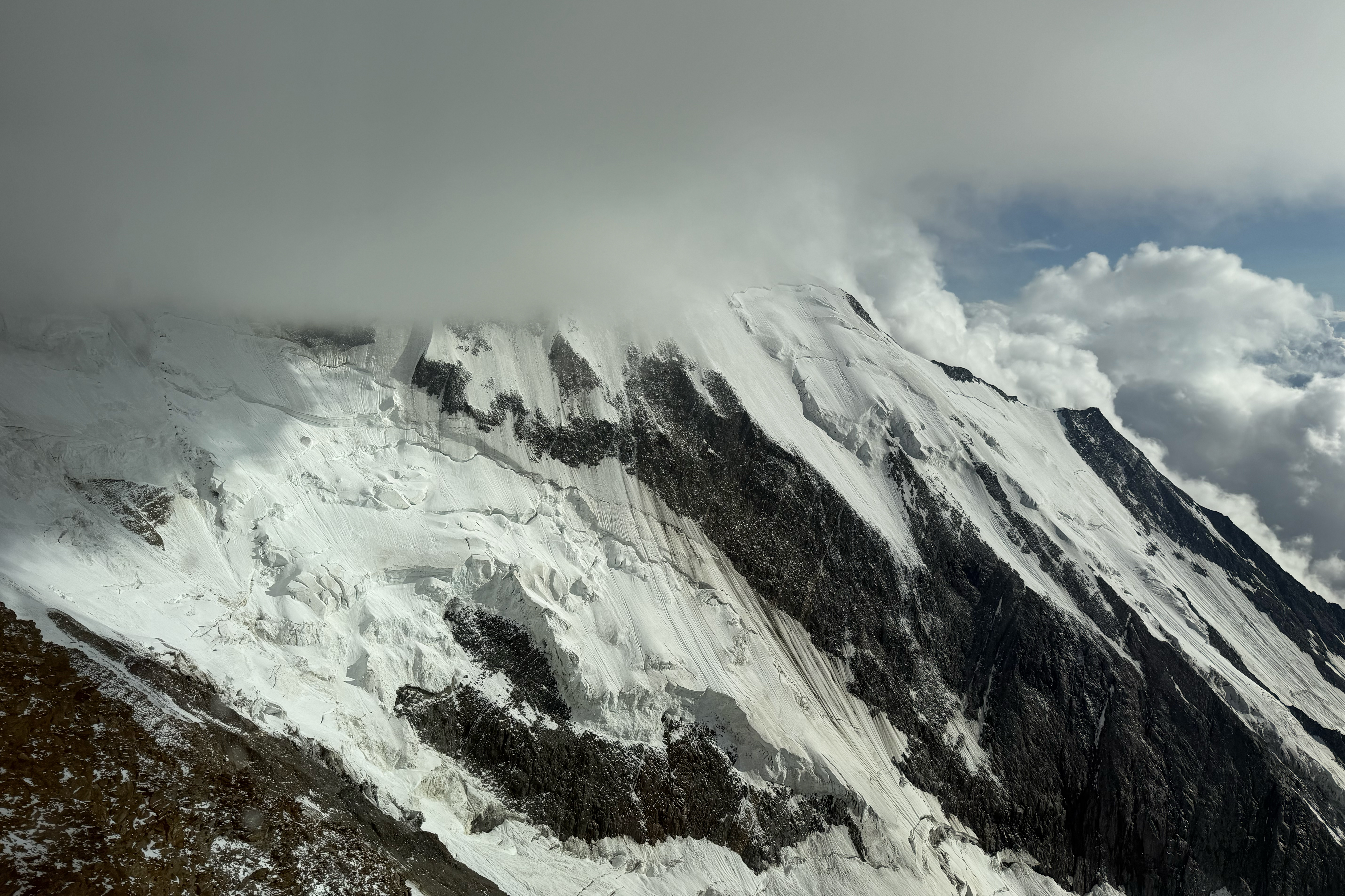
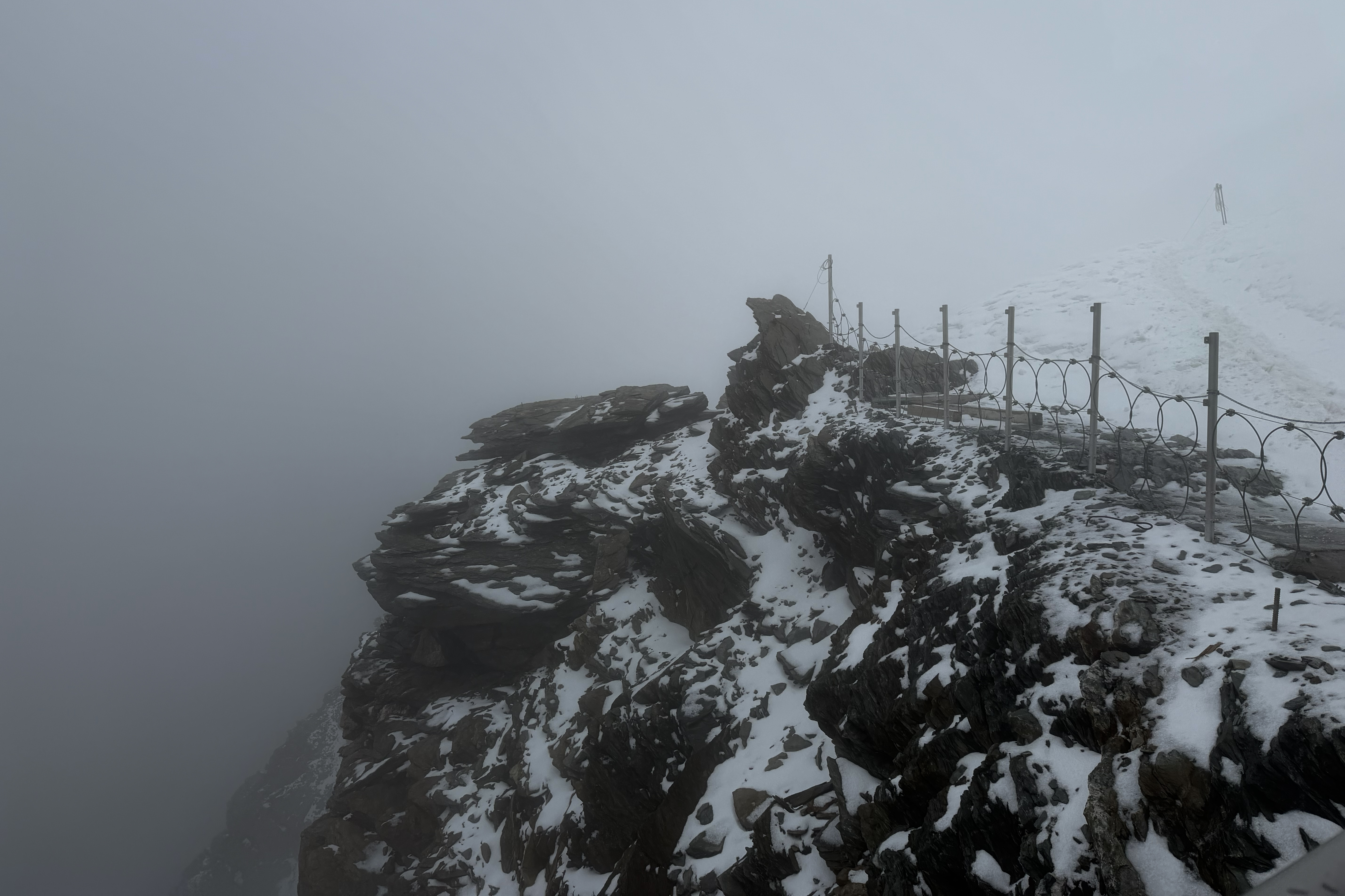
At 1:45am, our alarms went off. I had a quick breakfast and started gearing up, placing a set of toe warmers in my boots and along the posterior tibial artery (inside ankle), with hand warmers in my -23C-rated gloves. Wind chill was down to -17C, and graupel from the earlier storm immediately began whipping us in the 50+ kmh winds. We all felt like we were walking into a sandblaster. Fairly immediately my fingers started to freeze up. I had to adjust my buff and was struggling with the thick gloves, but knew I couldn’t take them off (even for a second). I regrettably didn’t have ski goggles, so my face wasn’t fully protected against the frigid wind, and I attempted to turn my head away with each left-facing switchback while getting knocked around by wind gusts. While my core was somehow quite warm, with some layers still in my pack, my toes began joining my fingers in their Raynaud’s party. I stuck it out for an hour before making the call to save my extremities. Toes are much more difficult to access than fingers up there, so once those started to go, that was it for me.
We were initially five 2:1 client:guide rope teams, but one client had altitude sickness and stayed back. I asked my guide if my rope partner could join up with the 1:1 team ahead, so I pushed on for a bit longer to do that hand-off before turning back. I’d later find out that this was the right call for another reason: one team was hit by what they described as a bomb-like wind gust. It knocked them off their feet, as one guy speared the other with a crampon to the knee during their self-arrest. They were three pretty sturdy men, and I’m not the largest person. It was not a safe day for small people up there, and while it was tough to turn back after getting that far, I don’t regret it. Still, I never expected Raynaud’s to be the reason! I had surgery on my toe that prevented me from starting proper training until 6 weeks prior. I expected fitness, altitude, the recent knee injury, or fear to be bigger obstacles than Raynaud’s. Since Chamonix was completely sold out of heated gloves in my size, this meant deferring Dufourspitze to the following year as well. I’d end up successfully testing new heated gear on freezing Kebnekaise a month later!
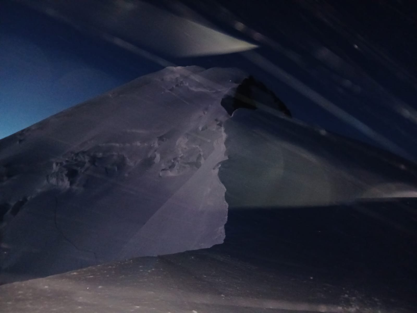
I had a few hours to rest before the others returned. Then, onto the long descent still ahead! The scramble down the couloir was pretty horrendous, coated in slippery graupel. The couloir was awake, too. There was a block of ice in the middle which required some care, as it’s a no-fall zone. As I stepped onto it, the guy in front of me was struck on the arm by a small rock, while the guide kept repeating “only good steps” (encouraging us to not panic and slip). A guide behind us was apparently even more visibly nervous about the state of the couloir. We all made it safely across, but I remember thinking how insane it was that three helicopters continued to rip out the old hut right at the top of the couloir. It was a windy day, post-heatwave, and this just added more instability (and wind from the rotors). I was expecting the route to be closed imminently like it was in 2022, but it took several accidents, deaths, and a MASSIVE (filmed/viral) rockfall a month later before that call was made.
This was all on July 2. Grauspitz would be 3 days later, after lugging 2 large suitcases and a backpack across Switzerland. I had always planned to hike from Steg to follow my “no cable car” rule. The spirit of this rule was to make ascents as pure as possible, going only as far as ground transportation would take me before heading up on my own two feet (and hands, for some mountains). Älplibahn on the Swiss side is by far the most common way to tackle Grauspitz, but the Steg route is a similar effort level without the cable car. Frankie and Basia were set on going from the Swiss side, so I considered my options. One was to meet them on the pass after Hinter Grauspitz, which would be difficult to time and mean only joining them for <1 hour. It would also mean doing most of the hike solo, including the riskiest section, a loose downclimb (which the other route bypasses). The Steg route is much less popular, so I couldn’t find any recent information on conditions. I hadn’t brought rope on that trip. Returning to Steg more prepared some other time would be extra expense in a charity challenge. I therefore ruled out Steg, then considered cable car-free alternatives from Malans. I could just hike up the additional 1,200 meters under Älplibahn, but that could do in my quad tendon fully and risk other injuries with a 1am wake-up. I could drive up the mountain, even shaving off half the distance from the top of the cable car to the peak, as there are public roads up there. Despite this technically following my self-imposed rules, this would make the hike less effort and be environmentally wasteful versus grabbing a seat on an already-running-regardless cable car. Decision made!
The Hike
The logistics still required a 4am departure from where I was staying in Interlaken with my friend Megan, but I was used to early starts after the week I’d had.
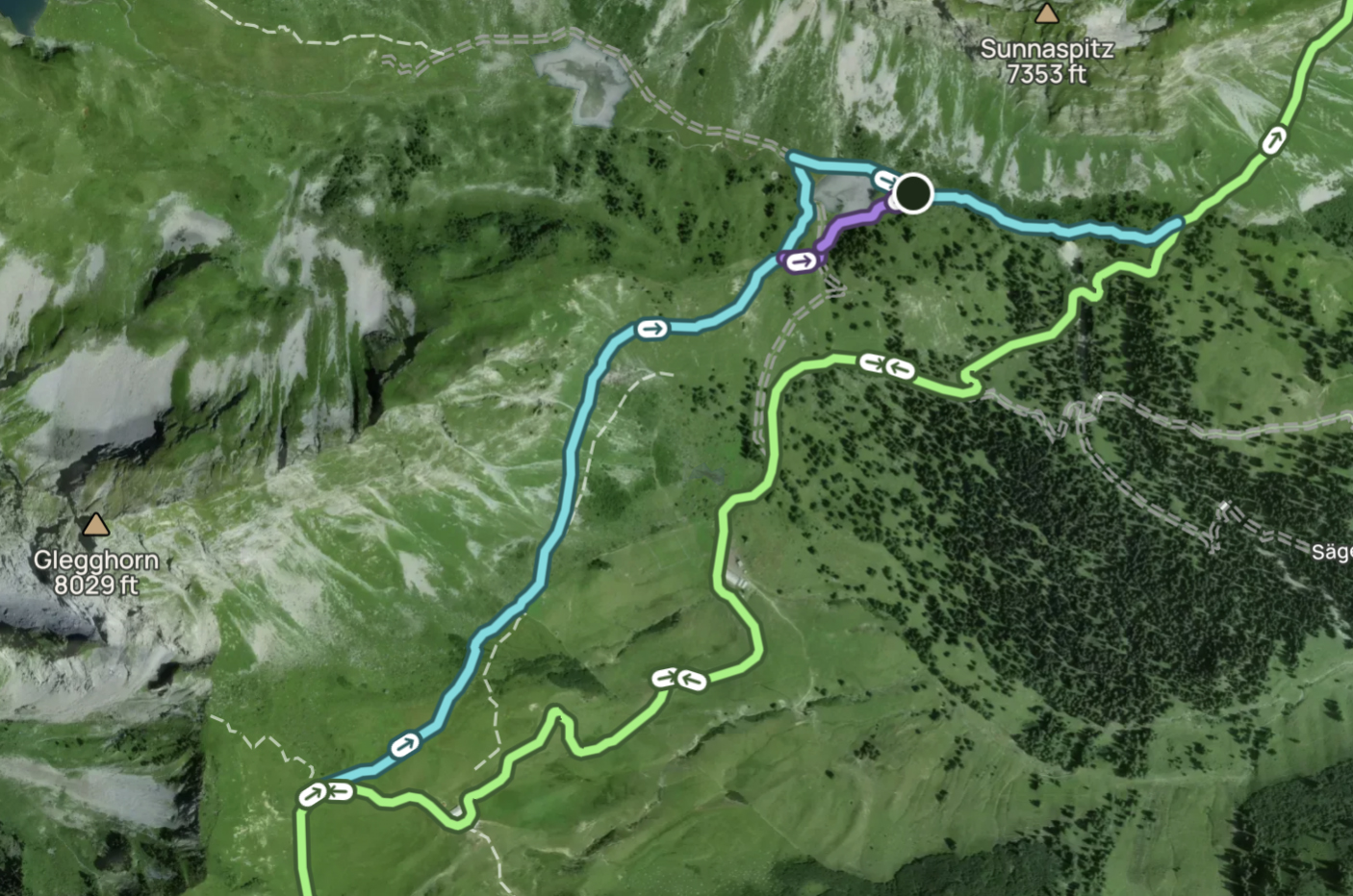
This post is going to focus a LOT on route selection, especially in the final stretch, in the hopes that it helps others attempting this peak. While GPS tracks exist (I used this AllTrails one, loosely). I haven’t found any that are perfect, and mine are no exception, which is why I have not included them here. Instead, I try to describe the ideal choices along the way!
The first part of the trail is just a gravel road. After about 0.6 kilometers, there’s a turn-off to the left onto a slightly shorter and nicer trail than the road. AllTrails follows the road for a while longer, while Basia’s map sent us along the trail. We chose hers, as it went via a lake (snack spot!) and looked quicker. On the map shown here, the green path is the default AllTrails one (road), the blue is an alternative (trail), and the short purple path is an additional (rocky) shortcut. Unfortunately, our snack plans were thwarted by cows that had taken over the now-bone-dry “lake”, hence the shortcut. I’m not sure if this was just the result of the heatwave, or if it had been dried up for a while.
We took the trail on the way out, but took the road on the way back after missing the turn-off to the trail. You can do the same to mix up the views! This section and the bit before it involves a lot of descent, so just remember to save some energy for the return trip’s ascent, whichever way you go.
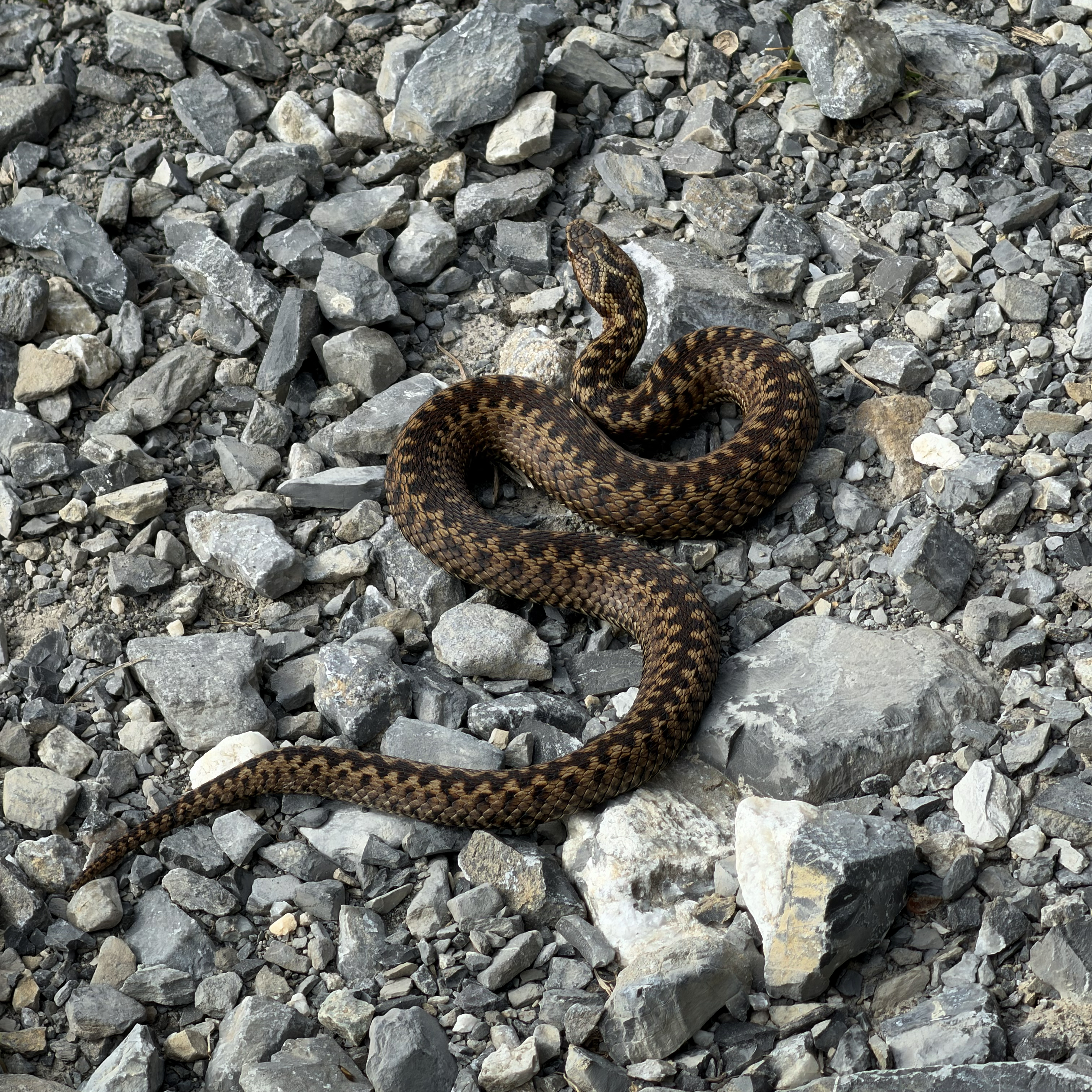
Not long after these two possible routes rejoin, there are a series of tunnels. The moment I clocked my true exhaustion level was when I mistook the below creature for a very large caterpillar. I nearly stepped on this (venomous) adder before realizing what it was. I jumped back, but it was unfazed. We proceeded through the caves, flashlights out. A headlamp in this section wouldn’t be a bad idea. My phone was enough, though I always pack a headlamp or two for emergencies! Helmets could be wise here as well – I’d recommend them later on the trail anyway with the loose rock.
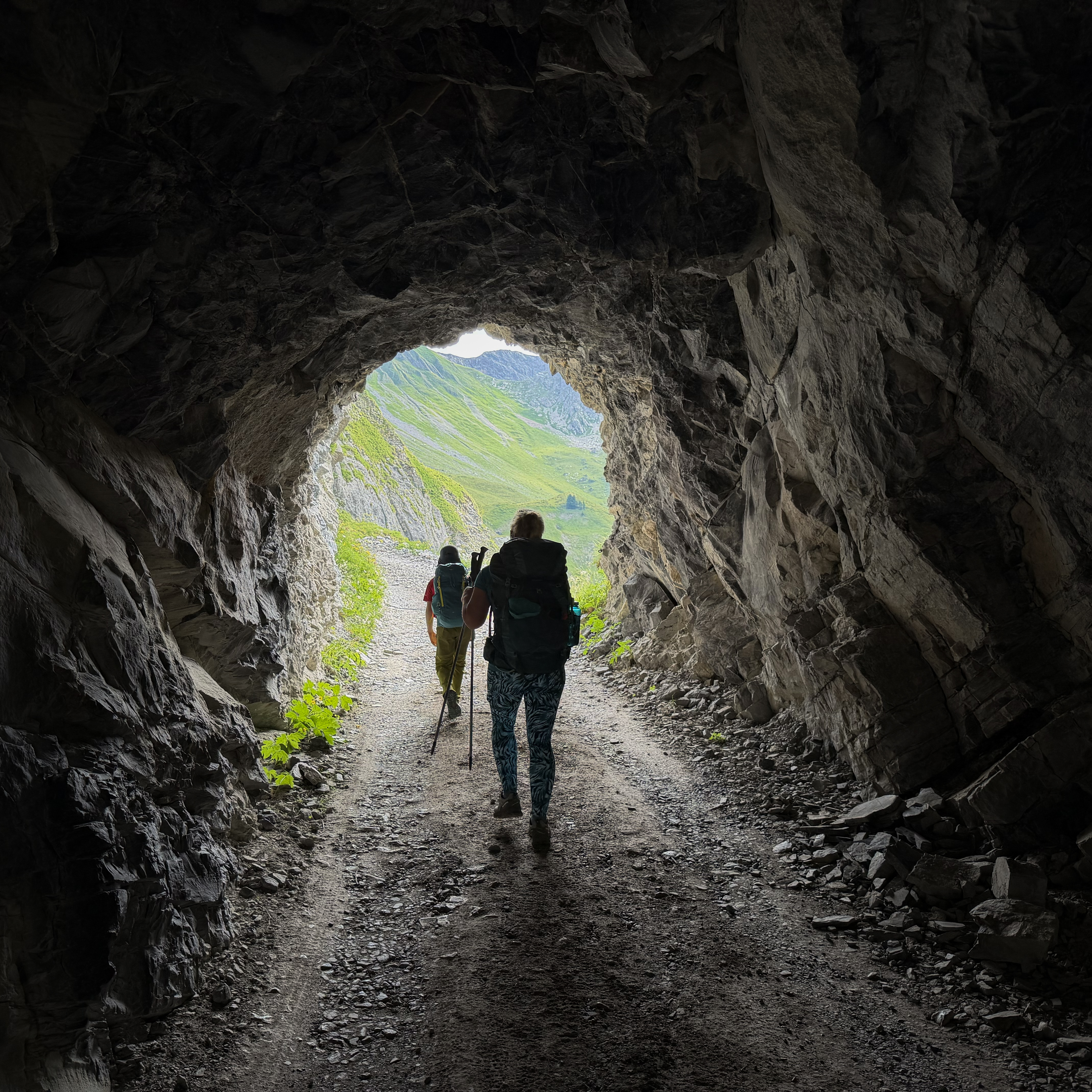
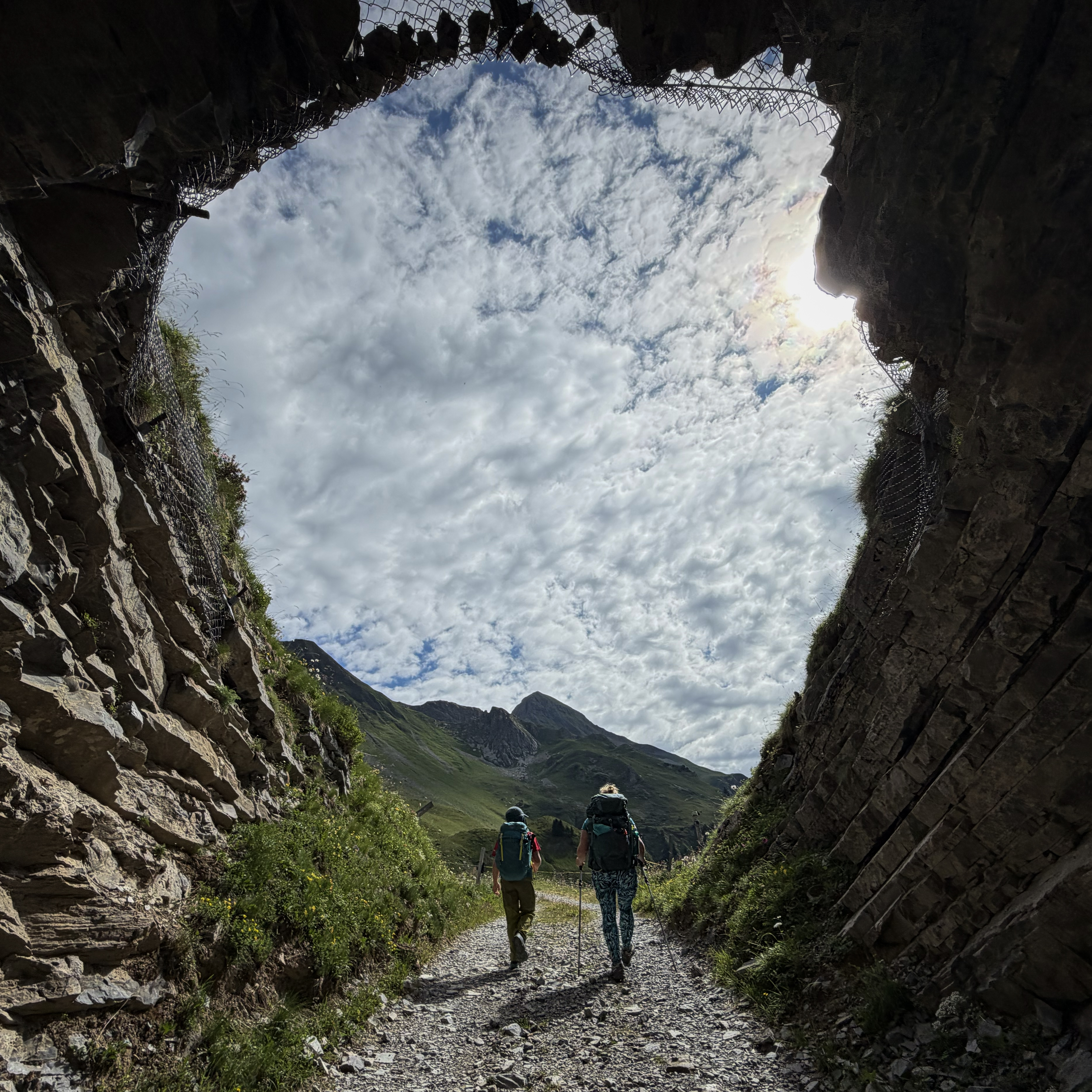
From the caves until we reached a house in the valley, the path was very straightforward. From the house onward, it is anything but.
The ascent from the house goes through several possible grassy barely-paths up to a pass. This is not where I’ll focus my advice, as the grassy section has no “right answer”. Just take any possible route that gets you directionally to where the below map shows. There is no fully continuous path, so you won’t avoid having to navigate uneven terrain masked by tall grass at some points. It’s an ankle-buster of a section with many holes in the ground. Watch out for snakes, step carefully to avoid rolling an ankle, and just aim to get back on the AllTrails path by the time you’re on the narrower part of the grassy ridge approaching the pass (shown below as it levels out), where it turns into a more visible trail.
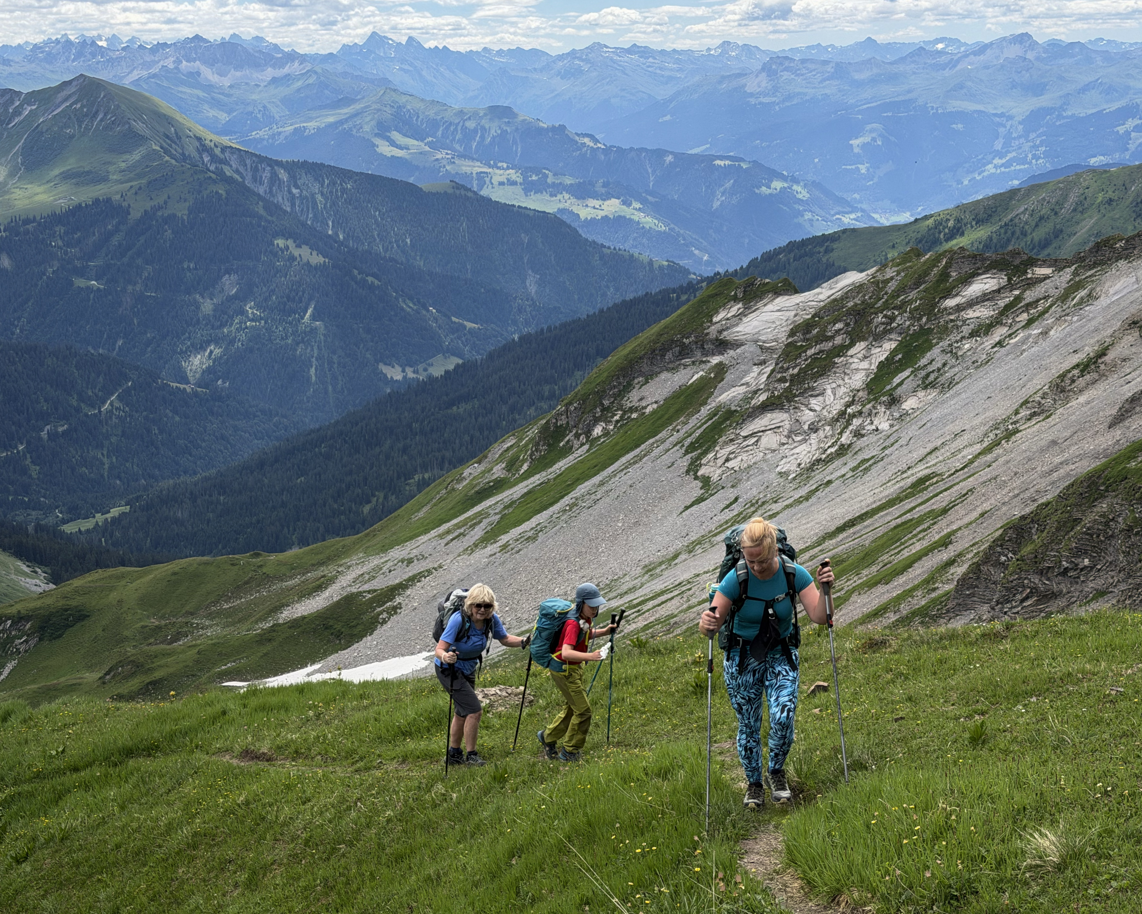
The summit is no longer in sight at this point, so don’t get confused by false summits. Once the path ends, you might be tempted to traverse along the rocky pass to the left. Don’t! Follow more steep grass straight up, THEN traverse left from there. AllTrails tries to send you left too early, and I went that way to investigate, but it’s deceivingly slippery and unstable. The rock has many flakes that would make great crimps if the wall were turned upside down. In its current upright orientation, it’s best avoided.
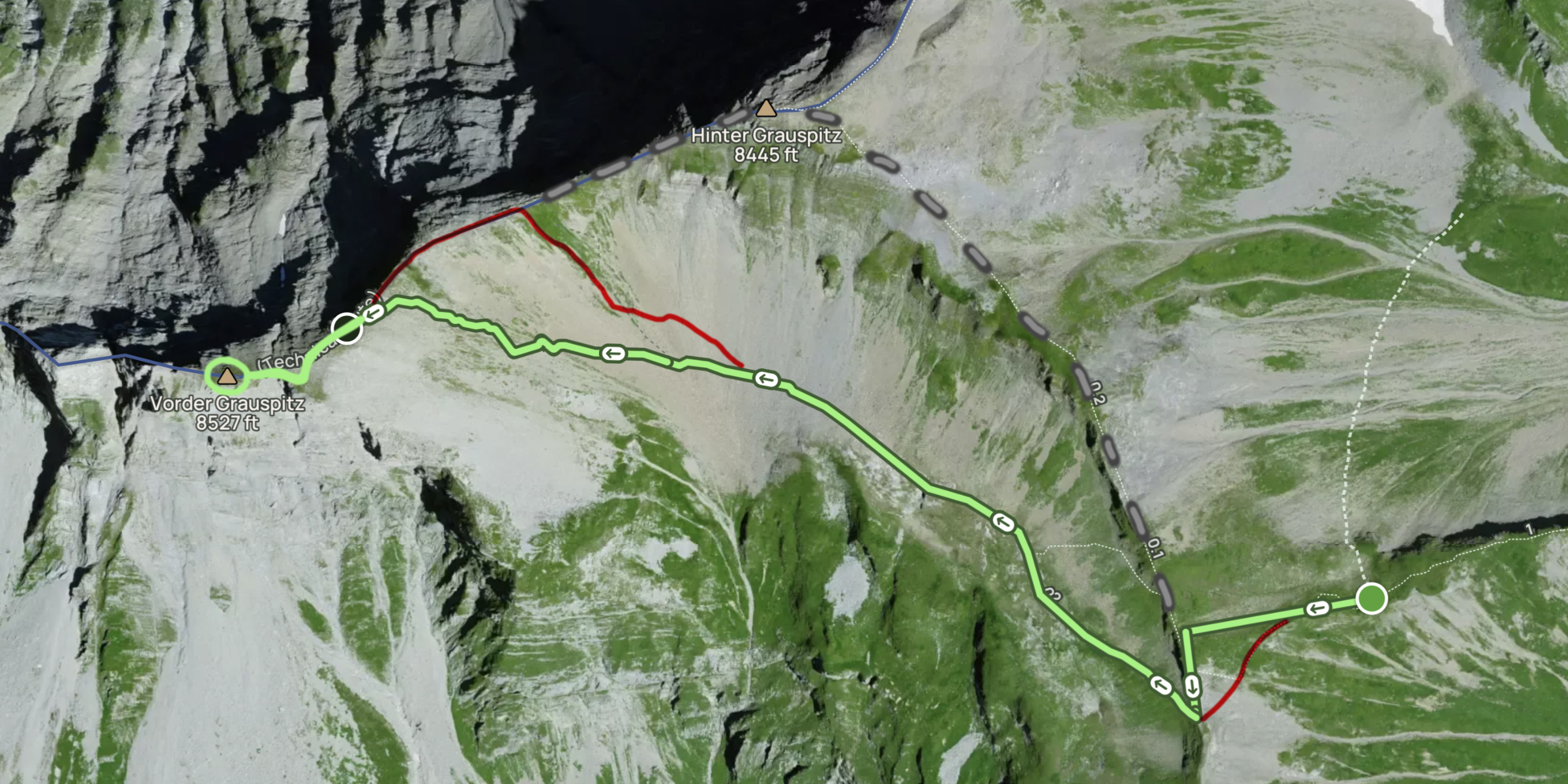
The map above starts with the green dot on the right (which was somewhere around where I took the photo preceding it), on a nice path. The straight green line I’ve marked is my recommended route up the grass. The red is where I investigated at first and do not recommend. I had to awkwardly traverse back to the right to rejoin Basia and Frankie. Going up the grass to traverse looked way sketchier from the trail below, but it was extremely straightforward and much safer. So, tip: once you’re on that nice dirt path, don’t touch rock until you can see Vorder Grauspitz on the other side! Do not go too far to the left into the loose rocks too early! (:
At the top of the pass, we had an important decision to make. We could stay on the ridge, ascending and descending Hinter Grauspitz. The route is very clear in that direction: simply stay on the ridge (the gray dotted line in the map above). However, the descent from Hinter is infamously loose and sketchy. While Basia had brought a rope, we had the return cable car to catch at 6pm. The alternative scree path looked horrific at best and nonexistent/vertical at worst. We’d have to descend a decent amount into the valley before picking our way up through increasingly steep loose rock and grass. The default AllTrails route goes via Hinter, but I’ve marked the (IDEAL) scree route in green above. We ended up following the worse of two dotted lines on the AllTrails map on the way up, however (marked in red). It looked much less steep to approach the lowest point of the pass and rejoin the ridge than continue straight and have an even steeper borderline cliff to navigate. We only discovered on the way down that this was an illusion, when we found the green option (with a proper, switchbacking path!). Descending the way we ascended could have been treacherous. Anyway, I’m jumping ahead…this was the three of us just as we emerged onto the ridge, nearly kissing the ground:
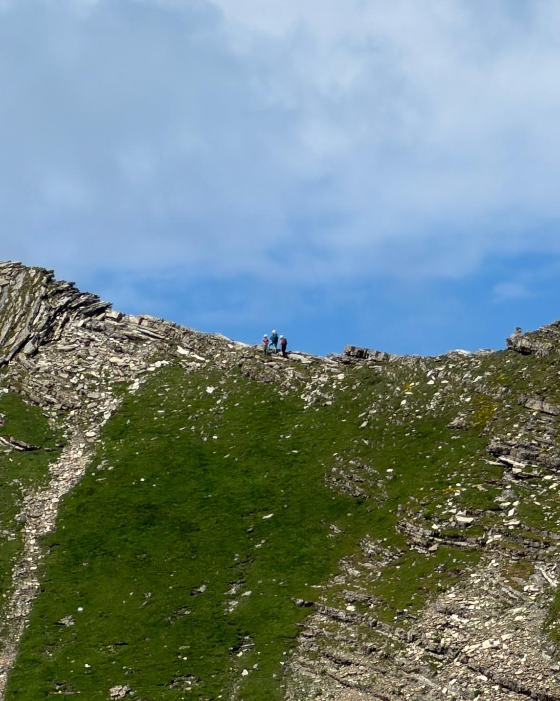
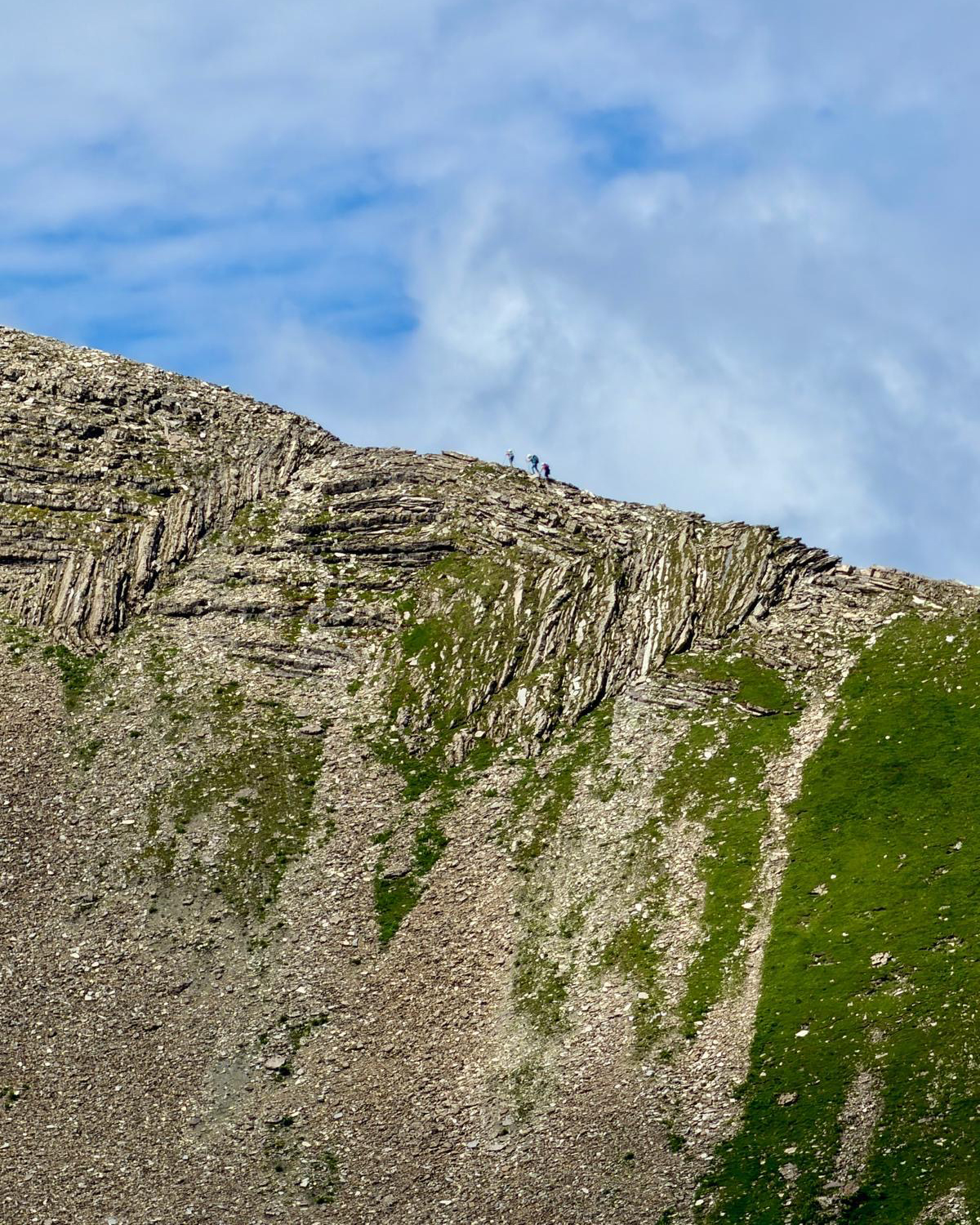
Basia’s friend Fiona had hung back at the pass, and she snapped these amazing photos (and a video included in the highlights)! As you may notice in the first one above, that grass was VERY steep. It’s one thing to use momentum to go up, and another entirely to make a controlled descent. You might be tempted to go this way up and back the other way, as we did, but there’s another reason to follow the green path both ways: this little traverse.
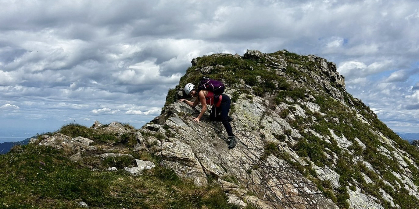
It might not look like much, but the holds were tiny, the reach was far, and the drop was significant.
This also marked the start of the properly exposed part of the route, I thought. Serious doubt began from just a few tricky moves. I’d heard so much about how sketchy the scramble gets at the end, and this already felt pretty bad. Somehow, the rest was way more secure! This photo captured the scariest part of the entire hike for me, and it lasted maybe ten seconds. Most of my fear leading up to and during this hike was driven by anticipation, not real danger.
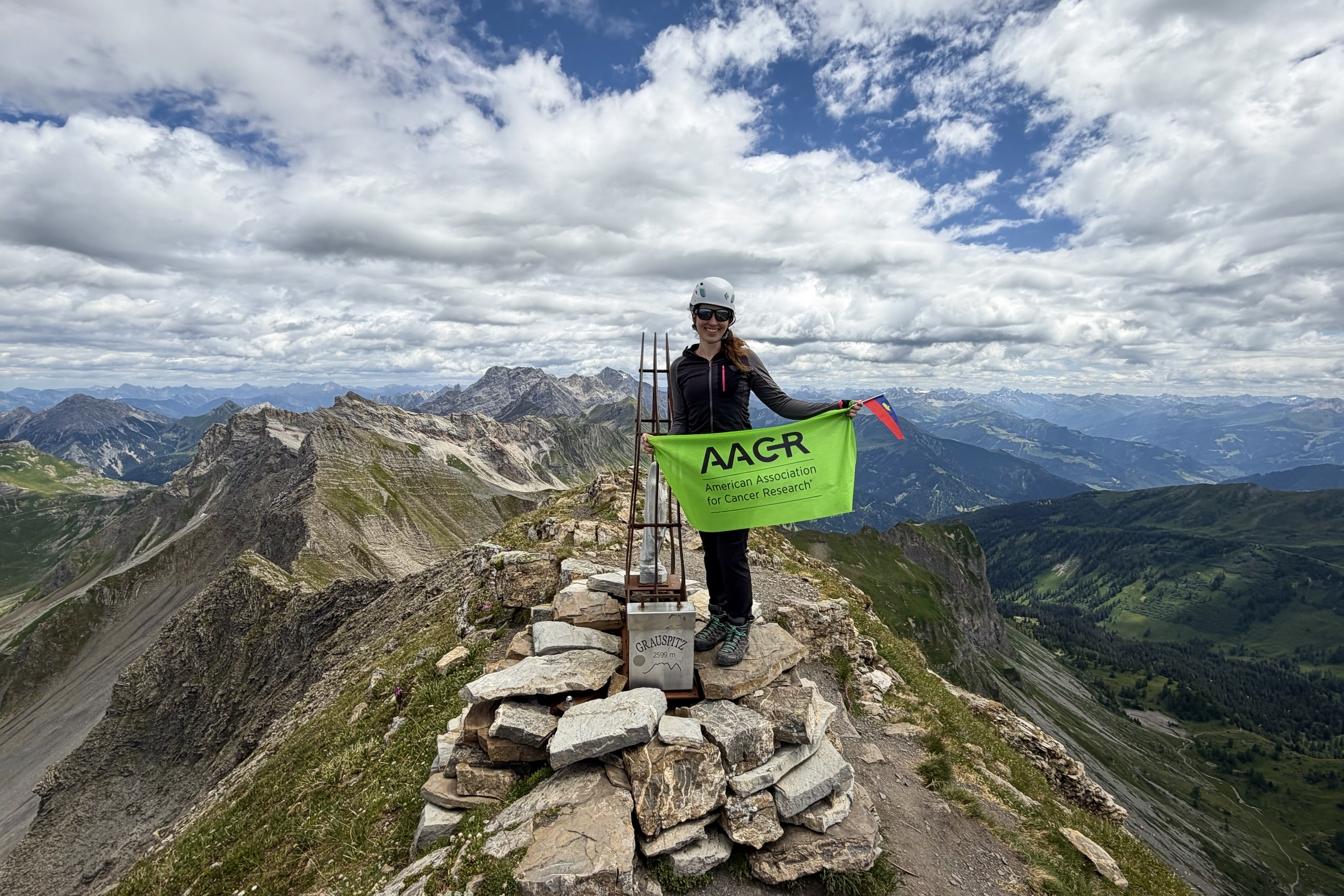
Within 30 minutes of reaching the pass, we made it to the summit!
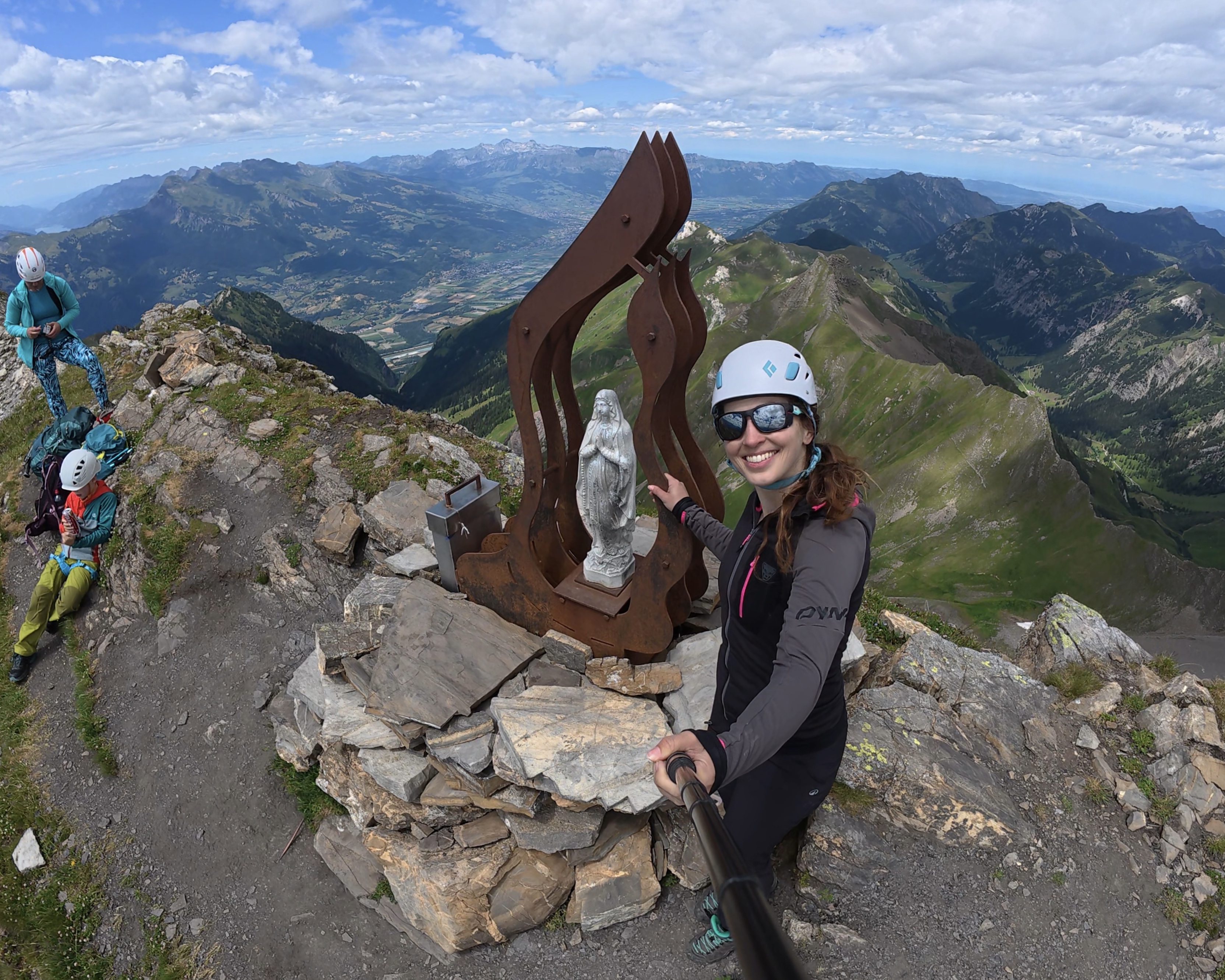
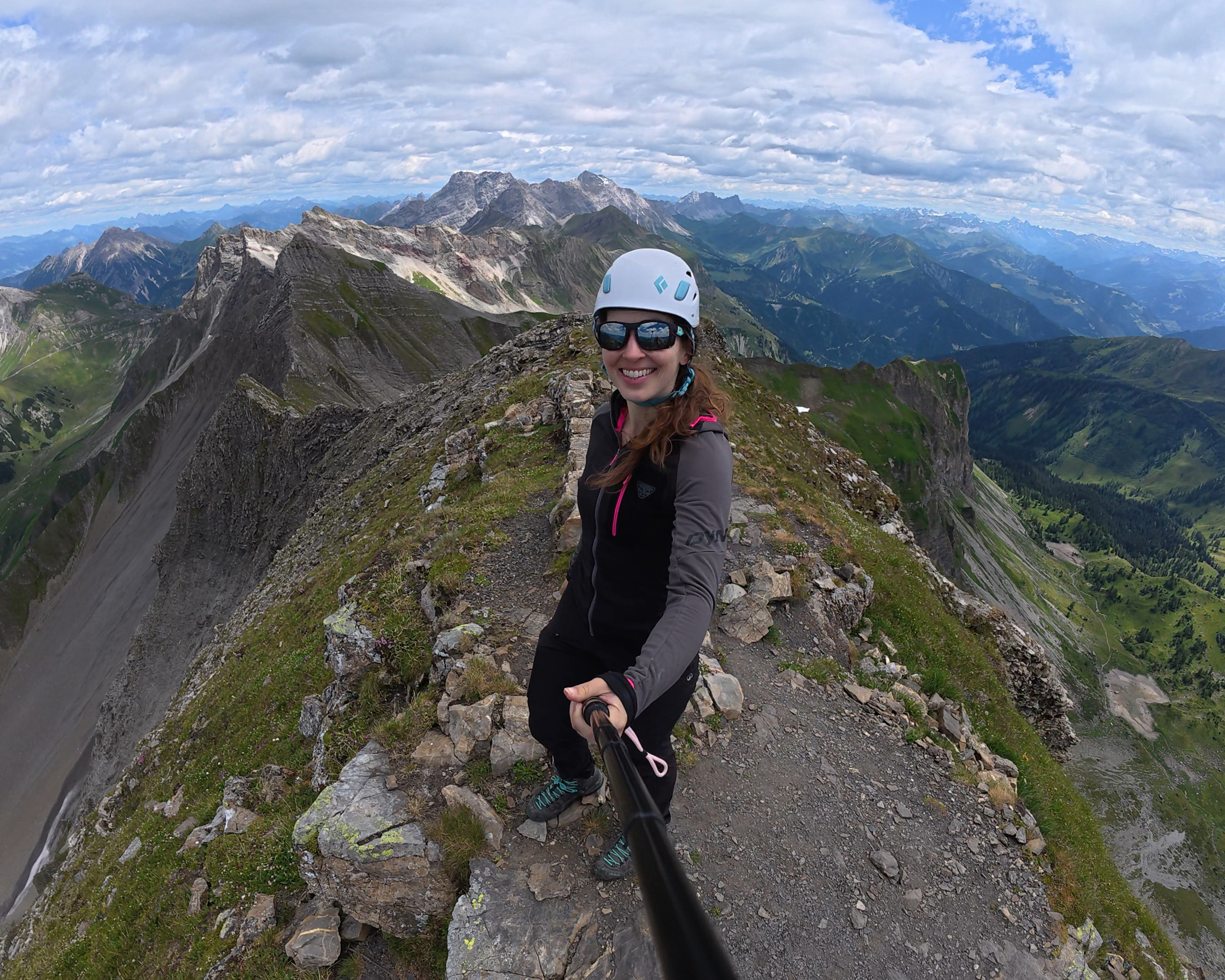
We lucked out with an amazingly clear day. This is the sort of mountain that turns people around in less-than-ideal conditions, and I was pleasantly surprised to have made it in one attempt. This made up for the failed Mont Blanc attempt! (:
We briefly considered returning via Hinter Grauspitz, as it seemed much easier to scramble up than down. This was also when we thought we’d need to make it back down the horribly steep grass/scree, before we’d discovered the other path down. Given that it was already 1:30pm, we didn’t want to introduce unnecessary risk with an unfamiliar route. When we spotted an actual dirt path, albeit still quite steep and narrow, we followed it. This is the green line shown in that map a few images back. THIS is the way I’d recommend ascending AND descending! (:
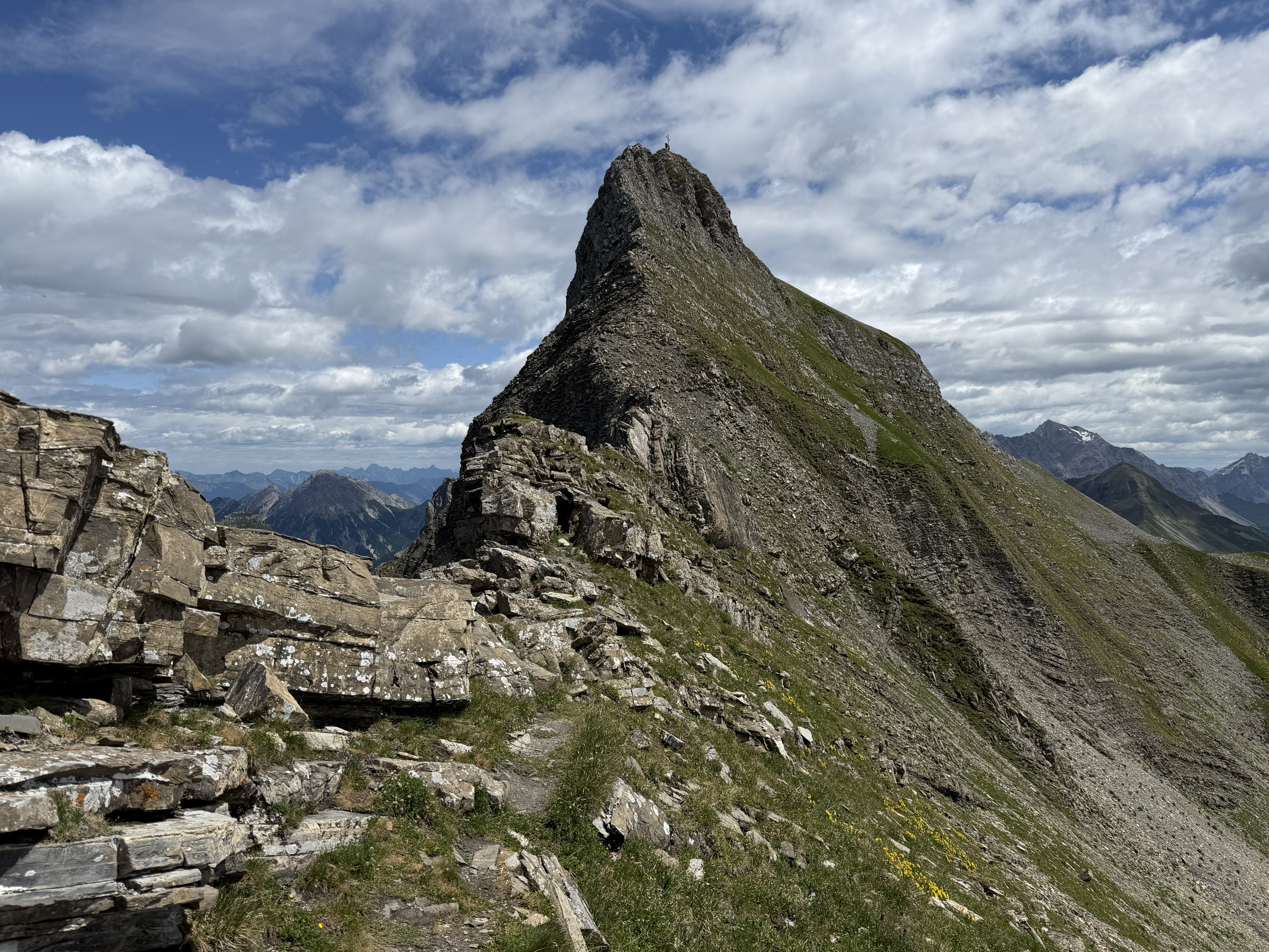
The path was still steep, but I remember feeling very grateful for its small switchbacks. It was infinitely better than the alternatives. Once back on flatter ground, the lingering snow provided a reprieve from the intense focus needed to protect our ankles from loose boulders. Soon, we were back on the pass and rejoined Fiona.
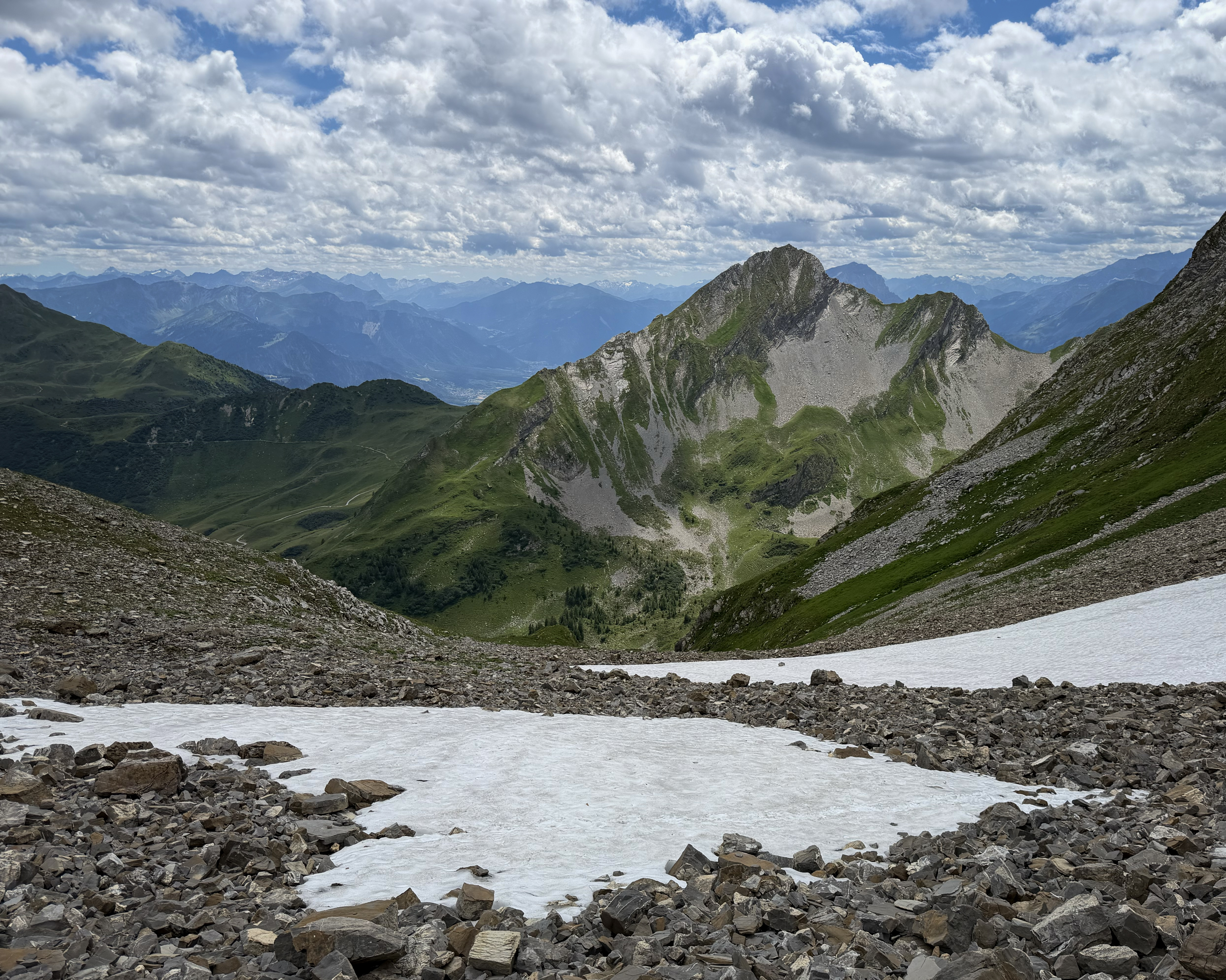
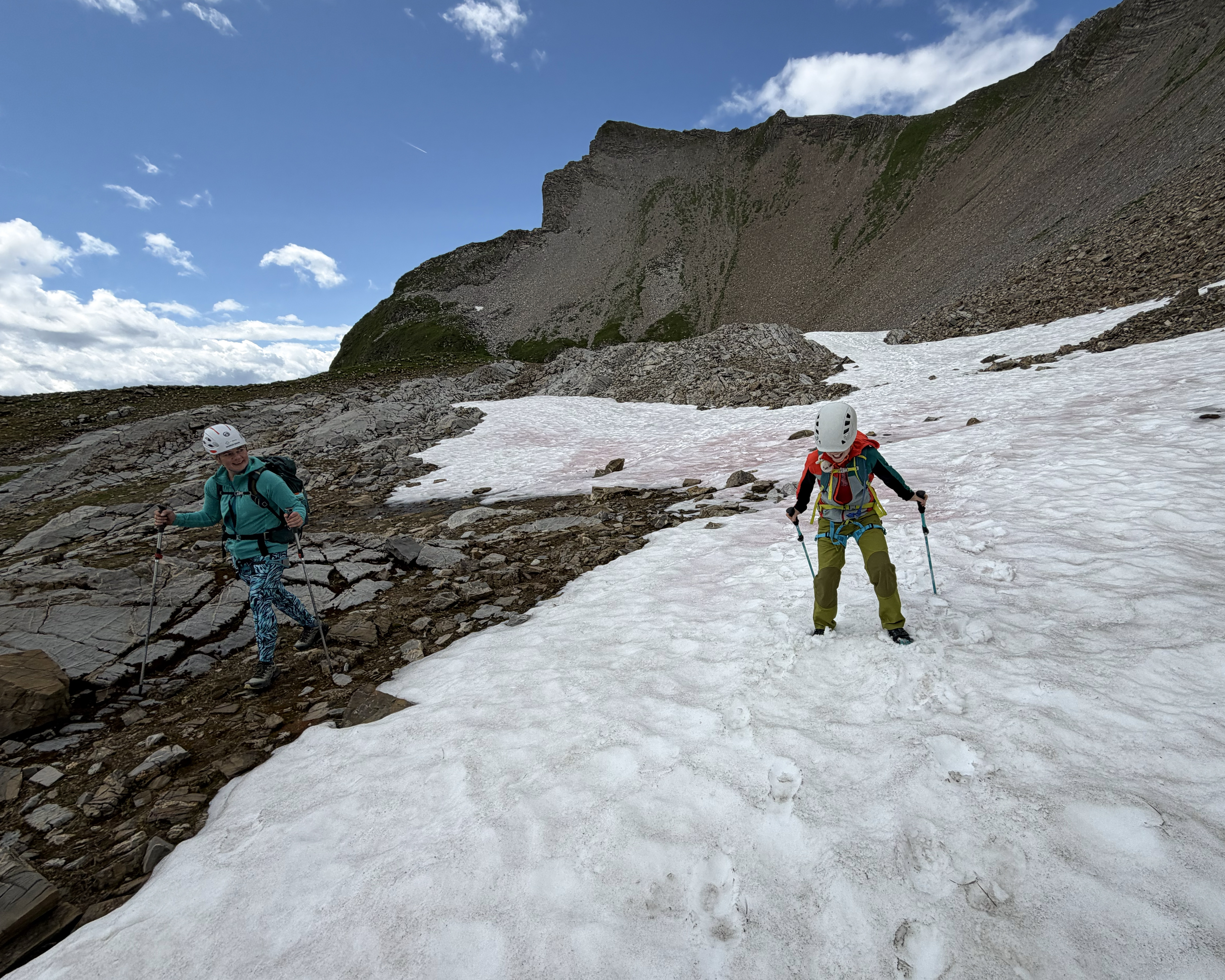
The takeaway is to make decisions based on the above map, not your eyes. The paths that appear safest aren’t always so.
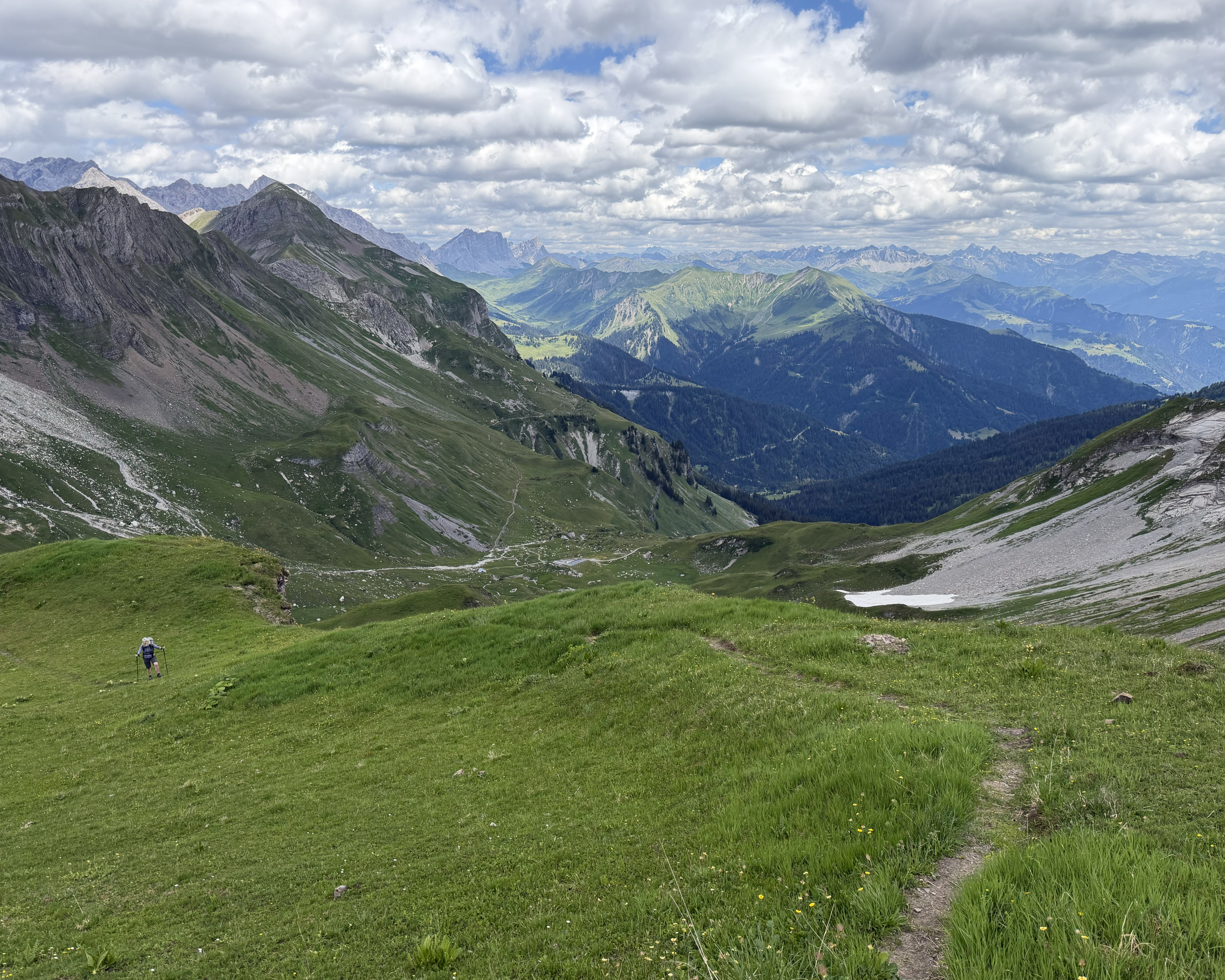
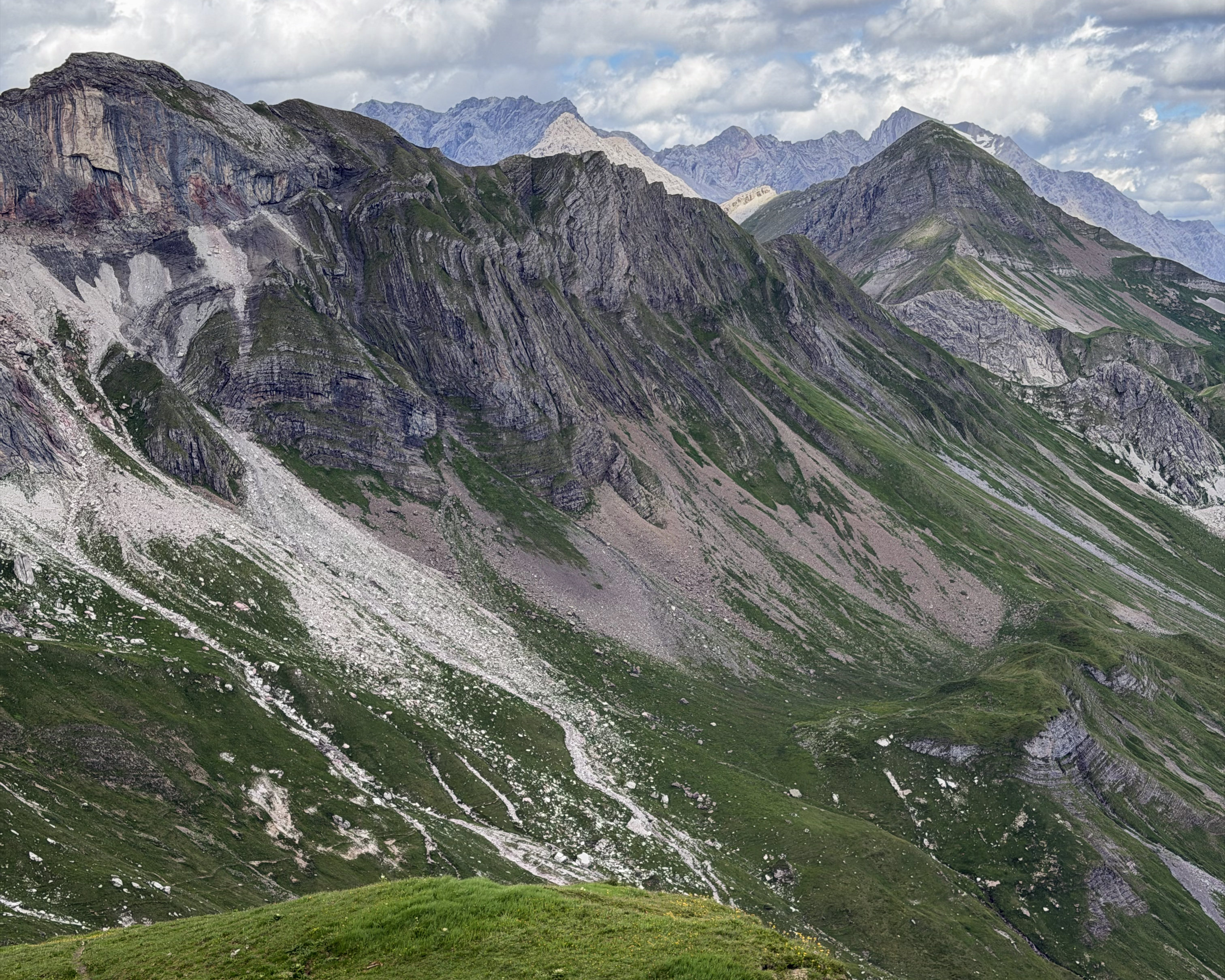
I didn’t do a great job of taking photos on this hike, so this is where they end. After taking the cable car back down, I headed to Lucerne to rejoin Megan, which was thankfully a shorter drive than I’d had to make that morning. As with Serbia, there is no record of me entering Liechtenstein, as I simply straddled the border between it and Switzerland before returning. Some (mostly) fun facts about this microstate: it was the last country in Europe to give women the right to vote (1984, by only 51%), it’s one of two doubly landlocked countries in the world (with Uzbekistan), it produces 20% of the world’s false teeth, its national anthem uses the same melody as the UK’s, it has no military, and Snoop Dogg unsuccessfully tried to rent the entire country to shoot a music video. It is apparently rentable, but he didn’t give enough notice.
THANK YOU ❤
Thanks for reading my twenty-eighth Crown of Cureope blog post! At the time I stood on Vorder Grauspitz, we had raised $2,975 for the American Association for Cancer Research to fund lifesaving discoveries. As of publishing this post, we are at $3,160 raised. With some of the bigger peaks still remaining, it would be incredible to hit 5 figures!! Thank you so much to everyone who’s donated and spread the word to help hit the fundraising goal, and to fellow hikers for tips and company along the way to these summits. Kebnekaise (north summit!!!) up next! (:


Leave a comment